Sunday, January 12, 2014

Osceolas - Jan. 5, 2014

It was tough getting up after a 17-mile, 12.25-hour trek to Owl's Head the day before, but when 4 other people are meeting you at the trailhead, it makes it easier. Ian and I had planned to do this hike just a few days earlier on new Year's Day, but with forecast highs of -5 to -10 degrees at 4000 feet and high winds, we both decided we would wait for a different day. What a difference 4 days makes, as the highs on this day were in the mid-20s at the summits!

Right around 7, Ian, his dog Marlie, Theresa, Patrick, and a hiker from Views From the Top (Deb? I'm terrible with names...) and her dog Harley (yea, Marlie and Harley meant confusion time!) met at the trailhead for the Greeley Ponds Trail off the Kancamagus Highway. With trailhead temperatures around 7-8 degrees, it was quite a bit warmer than the -10 of the day before, and we took our sweet time getting going. Marlie and Harley were not getting along great, so Deb and Harley took off 10-15 minutes ahead of us, figuring that the dogs would do better together once on the trail. Also leaving ahead of us was a solo fellow on skis, who is trying to ski all of the 48 4000-Footers this winter!

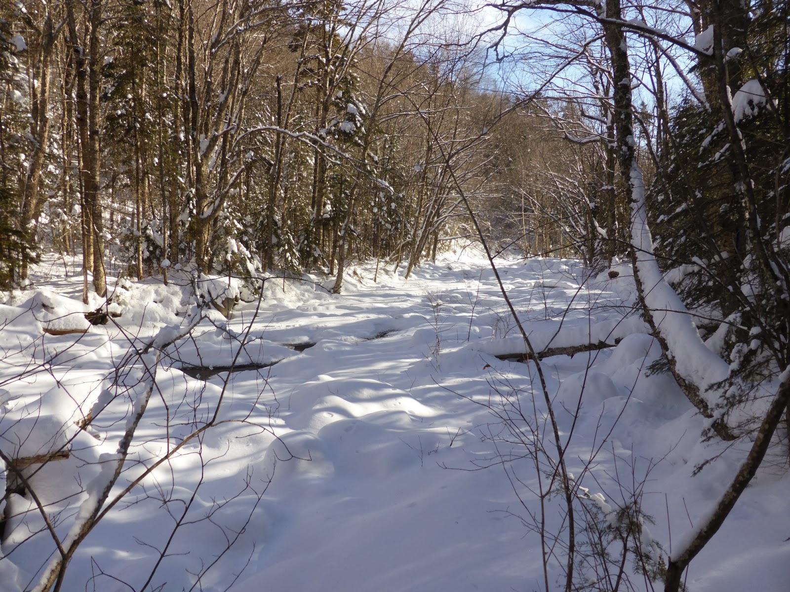
The first 1.3 miles on the Greeley Ponds Trail is a gentle warmup, though it was welcome as I was trying to loosen up a tight muscle in one of my legs (which never did totally loosen up, but it was good enough that I didn't end up having to turn around as I initially feared I might have to). Snowshoes went on at the car, and with the nice snowshoe trough from all the traffic the day before, it was a really pleasant hike to the top of Mad River Notch, where the Northern terminus of the Greeley Ponds Trail resides.

A short snack break later and we began the climb. This trail starts off steady, but after a short stretch of traversing, gets to climbing in a hurry. In total it is only 1.5 miles from the junction to the summit of East Osceola, with 1800 feet of elevation gain, but the bulk of that climbing is done in roughly 1 mile. Shortly into the actual climbing section we ran into the skier on his way down. There wasn't enough snow cover for him to ski down, so he was off to find somewhere else to go for the day.

This trail frequently requires crampons in winter, but the snow was pretty grippy and aside from a few short stretches that took some care, the ascent wasn't too tricky. The slide crossing near the top of East Osceola, which is a definite no-fall zone and was extremely icy last winter when I went up this trail with an AMC group, was actually nicely filled with snow and was one of the easier spots to ascend in fact. Still, none of us was looking forward to the descent later in the day. We also still hadn't run into Deb and Harley, they were apparently making good time.

Pano from the East Osceola slide crossing

Mount Carrigain with the fire tower platform visible on top

Across the Kancamagus Highway toward Carrigain (C) and the Hancocks (L)

The Mount Osceola Trail ascends from near the pond, under the cliff to the left, then gets climbing fast!

Mount Chocorua

Mount Kancamagus across Mad River Notch - a completely trailless New Hampshire 100-Highest Peak
A couple hundred feet below the summit of East Osceola is a steep gulley section, at the top of which a short herd path leads right to a very nice view of the Osceola Peaks, as well as Franconia Ridge, the Kinsmans, and more. We took a short break here for pictures, then climbed the remaining distance to the wooded summit of East Osceola, stopping briefly at a blowdown viewpoint just below the summit.

Franconia Ridge (R) and the Kinsmans (L) from the viewpoint below East Osceola

Mount Osceola from below East Osceola

The Tripyramids from the viewpoint right near the summit of East Osceola

Non-descript summit of East Osceola
From there it was a steady descent down to the col between the peaks, where it was time to tackle the infamous chimney section. We finally ran into Deb and Harley just before this spot on their way back, as Harley was not liking going up this section. The chimney itself was predictably filled with ice, but the typical bypass was tricky to get up as well (and this was the part Harley did not like). Most of us ended up bypassing the bypass through the woods to the right, which Harley had no issues with. From there it was a steady climb, with a few steep pitches, to the ledges near the summit of Osceola, during which time Harley and Marlie mostly got along fine.

Many people assume this is the summit when coming from the Kancamagus Highway, but in fact it is a couple hundred feet away up the trail and on a short side path. When you hit a big rock with a great view of the Bonds and Franconia Ridge, you've found the summit.

Looking towards Owl's Head (wooded lump in center), nestled between Franconia Ridge and the Bonds. The snow-capped peak of Garfield is dead center behind Owl's Head.

Mount Osceola from partway down to the col between the Osceolas

Pano Northward from the true summit of Mount Osceola

Franconia Ridge from Mount Osceola's summit

Mount Washington (with a cloud...) between the Hancocks and Carrigain

The Bonds, with South Twin in the background from Mount Osceola
A nice break in the sun and low winds was in order at the ledges, during which time a pair of hikers summitted and nicely offered to exchange summit shots. The dogs mostly cooperated with this attempt...

Pano from the Mount Osceola ledges

Mount Washington from the Osceola ledges

The ridge back to East Osceola

The Tripyramids, with the North slide abundantly visible

The gang on Mount Osceola

Blue skies, low winds, warm temps. A wonderful day!
The descent was tricky as predicted. Getting down to the chimney section was fine, though with a few involuntary butt-slides on the way. We were also starting to run into many people on the trail (our 7:30 start beat basically everyone up the trail!). Getting through the chimney bypass bypass took some doing but we made it, then an easy climb up to East Osceola. From there it was a careful, tricky descent, as with ice underneath the snow we didn't want to slip and slide too much on this steep, tree-and-rock-lined trail. A few slides happened anyway, as they were still often the safest way down (though somehow Ian managed to stay on his feet the whole way...), but with care we all made it down to the flats without incident. It was an easy stroll back to the cars at that point, where the small parking lot had long overflowed and many folks were parked along the side of the road near the trailhead. An interesting trip out in the mountains, but everyone (but me, haha) got checkmarks on their winter 4000-Footers list on this day (I did get grid checkmarks though). Thanks guys for a great day!

Summary:
Route: Greeley Ponds Trail, Mount Osceola Trail (out-and-back to Mount Osceola)
Peaks: East Osceola (4156', NH4K), Osceola (4340', NH4K)
Mileage: 7.6 miles
Elevation Gain: 3100 feet
Book Time: 5hr 20min (actual time 6hr 50min)


Friday, January 10, 2014

Owl's Head in Winter - Jan. 4, 2014

Sometime around Thanksgiving I was invited along on an AMC hike to Owl's Head being led by Pam, whom I've hiked with a number of times in the past. I didn't have plans to hike Owl's Head this winter, but the beauty of not working on any specific list means that I can float from hike to hike with various folks, and it looked like a good group was assembling so along I came. Plus, I was being asked along since I've done the winter bushwhacks to Owl's Head before (from Black Pond which avoids a couple tough water crossings, and then another one - the Brutus Bushwhack - which avoids the steep, loose slide on the traditional path up the mountain).

With frigid morning temperatures predicted (one source was calling for -18F at the trailhead in the morning), we moved the meeting time back an hour to 7AM when the sun would be just about rising. With 6" of new snow the night before, snowshoes went on at the parking lot and would not come off until the same spot over 12 hours later. The bright side was that the temperature according to the thermometer at the ranger station was a much more moderate -10F, haha!

Sorry its a little blurry. But this is the thermometer as we started hiking. Brrr!
We made good time on the first 2.8-mile warmup on the Lincoln Woods Trail, which had a couple inches of light fluffy snow on top of an old base, and so the walking was pretty easy. The Black Pond Trail had an old snowshoe trough and posed no issues either, and we reached Black Pond, and the start of bushwhack #1, in good order. Also, with clear skies, the sun was fast warming things up, as the forecasts had predicted.

Part of the Bondcliff Ridge as seen from Black Pond
Here I was quickly put in the front to guide us on the bushwhack to the Lincoln Brook Trail, which cuts off about 3/4 of a mile and more importantly 2 very tough stream crossings. We started off following an old snowshoe trough which immediately began to climb a little bit, which is a bit non-standard for the winter route here. Soon, we decided this was no good, and diverged from the old trough and began to slab roughly on contour through open woods. While we were breaking trail, it wasn't terribly deep (maybe 8" of light fluffy snow), and we pretty quickly popped out onto the Lincoln Brook Trail right at the second crossing as usual. Banging a left, it was now about 2 miles of light trail-breaking (the same ~6") to the start of the Brutus Bushwhack.

Starting up the Lincoln Brook Trail

Snow-covered Lincoln Brook

This is actually the wide, fast-flowing Lincoln Brook!

Sun, soft snow, just a beautiful day in the woods


I had been curious to see what these stream crossings looked like when bridged, since my only prior winter trip had been a few days after a heavy rain which blew out all the bridges. Well, the stream was almost totally bridged along its whole length, so bridged in fact that the first crossing (which is actually a feeder stream) was barely recognizable as a stream crossing. The next 2 crossings were the same, which was nice since for once crossing these stream crossings was a non-issue!

Crossing #2 - Liberty Brook

Crossing #3, and the final one - the main Lincoln Brook
Maybe 100 yards after the final (3rd) crossing we came to the start of the Brutus Bushwhack. We cut up through the woods and using my GPS track from last year we got onto the skidder road (instead of missing it like we did last winter...). The skidder road took us up into a birch-lined gulley, which we followed uphill a short ways before starting to cut over towards the Owl's Head Path. This is where things started going badly (actually it started in the gulley). With no recent traffic, the snow was unconsolidated, and there was anywhere from 1-3 feet (typically about 1.5 feet) of loose, light snow, which meant that we were slipping and sliding all over. After what seemed like forever we got up to flatter ground, but we were now too high for the traditional route over to the Owl's Head Path. Still, we made it, with a couple of false routes (one involving finding a cliff that we had to navigate around), over to the Owl's Head Path about 1/10-mile above the "big rock" that is the normal target of the end of the bushwhack. During the cut-over, my GPS lost its mind for a few minutes, deciding that we did a roughly 1/10-mile diameter circle (we didn't, and knowing where we were we continued on our way). Also in the midst of this a solo hiker, who had never climbed Owl's Head before, caught up to us and assisted with the trail breaking. Thanks Roger!

Now on a regular trail (even if it is unofficial), we made better time though the ridge seemed like it would never come. But come it did, then there were the several false summits before the final, true summit of this mountain. We took a short break at the summit, but with it getting late, we wanted to be down off the Brutus Bushwhack before dark, though none of us were looking forward to the descend into and along the gulley. Roger left ahead of us, best of luck finishing your 4000-Footers!

Owl's Head summit cairn

Snack time

Owl's Hat on Owl's Head!
Though tricky in several spots due to the non-grippy snow, we all made it down off the mountain in one piece, and before dark. A short stop at the second stream crossing to get a few liters of water for those that needed it  (after chipping a hole in the ice), and we steadily made our way back along our tracks from the morning, under headlamp. Around a quarter to 8, we made it to the parking lot safe and sound, but all of us were wiped! Always an adventure, Owl's Head is, but we conquered it, and aside from the actual climb up the mountain, the hike was pretty easy with nice snowshoeing conditions. Unfortunately, another round of rain came only 2 days later, and the nice snow bridges over the streams are likely gone now... Still, congrats to everyone who got winter checkmarks on this challenging peak!

Summary:
Route: Lincoln Woods Trail, Black Pond Trail, Black Pond Bushwhack, Lincoln Brook Trail, Brutus Bushwhack, Owl's Head Path
Peaks: Owl's Head (4025', NH4K)
Mileage: ~17 miles
Elevation Gain: ~3100 feet
Book Time: 10 hours (actual of 12hr 15min)

Ignore the random large down-spike in the elevation profile during the ascent, my GPS lost its mind for a few minutes...


Wednesday, January 8, 2014

New Year's Eve on Hale - 31 Dec. 2013

The day after breaking out Mount Isolation Chris, Whitney, and I headed over to Mount Hale to bag that peak for Whitney's Winter 4000-Footer list. We anticipated not having to break this one out this time, or at least we hoped as much, as we were pretty beat from the day before. Arriving at the end of Little River Road, the usual starting point in winter to access the abandoned Fire Warden's Trail up Hale, we saw a mere inch or two of snow on the ground. Thus the snowshoes got strapped to the packs and we took off.

Immediately after crossing the bridge, we hung a left onto what I've been told is the old North Twin Trail (predating Haystack Road perhaps?) This unmaintained trail follows what appears to be an old rail grade for roughly one mile before reaching the bridge on Haystack Road right before the North Twin Trailhead. This is an uneventful stretch of trail, though the center section has gotten very overgrown in the last year, and we had to push through a lot of growth, some of which had small thorns on it, but luckily these were short-lived segments.

A section of the old North Twin Trail

Partially-frozen Little River from the bridge at the end of Haystack Road
We had seen no recent traffic on the old segment of trail to this point (not since the storm the previous Sunday), but at the parking lot we saw a ton of bootprints coming up Haystack Road. Apparently everyone the day before had come up a different route. Taking off on the current North Twin Trail, we stayed to the left of the river at the first crossing (who does the first 2 crossings on this trail anyway!), carefully crossed a small brook, and soon were at the start to the abandoned Fire Warden's Trail.

On the North Twin Trail

Heading up the abandoned FireWarden's Trail
The trail immediately starts climbing, albeit at a mostly gentle grade, but we were feeling it from the get-go (at least Whitney and I were, Chris seemed unaffected...). Still, we steadily made progress, soon entering the birch glades famous among White Mountain backcountry skiers. The snow cover was increasing as we climbed, but it still wasn't terribly deep, and there were no signs that skiers had come through as yet. Partway up the glades, Chris had to turn around and head back home for New Year's Eve plans, while Whitney and I switched over to snowshoes (the snow was now about 6-7" deep) and kept on climbing. With heel-lifts to ease the calf strain and the snowshoes off our backs, we actually did much better from here and soon enough we had reached the ridge, dropped into a shallow col, and just as the snow suddenly reached a depth of nearly a foot, we broke out into the summit clearing.

Winter Wonderland near the summit of Hale


The summit clearing of Mount Hale

5th time on this summit for me.

Whitney hits #14 on her Winter 4000-Footer list!
Standing on the rock pile that serves as a summit cairn one can see the tip-top of the Twins nearby, as well as the Willey Range. Back when there was still a fire tower on the summit, apparently the summit area was pretty open and Hale held terrific 360-degree views. Not so much anymore, those trees have grown up pretty well in the last 40-50 years!

South (L) and North (R) Twin

The Willey Range - Field dead center, Willey just to the right
With no major reason to hang around (the temperature was hovering right around 0 degrees, though at least there was no wind!), we pretty quickly turned around and headed down into the col for a quick snack before resuming a quick exit hike. We saw the only other hiker of the day near the bottom of the birch glades as he headed up.


Heading back through the overgrown section of the old North Twin Trail

An old fireplace and other building near the end of Little River Road - never noticed this before!
Congrats again to Whitney for another checkmark off her Winter 4000-Footer List, and good luck with the rest of the winter!

Summary:
Route: Old North Twin Trail, North Twin Trail, FireWarden's Trail
Peaks: Hale (4054', NH4K)
Mileage: 9 miles
Elevation Gain: 2550'
Book Time: 5hr 45min (actual 5hr 45min)