Route: Flat Mountain Pond Trail, McCrillis Trail, Rollins Trail, Dicey's Mill Trail, East Loop, Walden Trail, Lawrence Trail, Cabin Trail
Peaks: Whiteface, Passaconaway, Nanamocomuck Peak, Wonalancet Hedgehog
Mileage: 14.7 miles
Elevation Gain: 5450ft
Book Time: 10hr 5min (actual 9hr 10min)
For the final hike of the 3-day weekend, I got to finally hike again with my good friend Theresa. We'd last hiked together on the
moonlight Presidential Range Traverse, mostly due to conflicting work schedules. For this hike, we'd worked out a nice-sounding route through part of the Sandwich Range, picking up nearly 10 miles of new redlines (for me, a couple less but still many for Theresa).
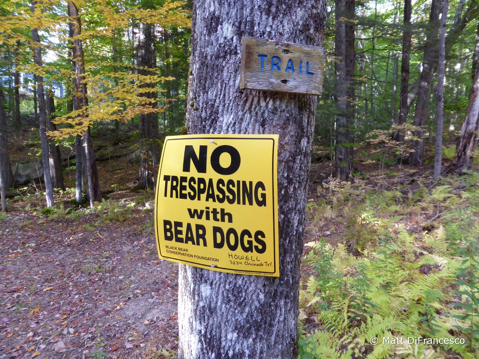
Leaving a car at the road-side pull-off for the Cabin Trail (across from a private driveway that the trail starts up - don't park on the driveway!), we shuttled over to the Eastern terminus of the Flat Mountain Pond Trail for the start. We would take the Flat Mountain pond Trail as far as its junction with the McCrillis Trail (not to be confused with the McCrillis Path in the same region of the mountains), and take that trail all the way up to Mt. Whiteface. Most hikers heading to Whiteface take the Blueberry Ledge Trail, which is steep in places and has several moderately tricky ledge scrambles (depending on conditions, they can be dangerous). The McCrillis Trail, by contrast is very gentle in its early stretch, before finally getting to work. It gets steep, but not crazily so, and there is only one sloping ledge in the woods to contend with before hitting the Southern summit of Whiteface (which many hikers mistake for the summit - it is not). We took a nice break here, as the day was rather warm and humid (especially for mid-October!), and we weren't going to have much for views for most of the rest of the day anyway.
 |
| Starting point |
 |
| Beaver pond on the early part of the Flat Mountain Pond Trail - nice color over there! |
 |
| A view up towards our first objective: Mount Whiteface |
 |
| The ledgy face of the Southern peak of Mt. Whiteface. |
 |
| The one ledge scramble on the McCrillis Trail |
 |
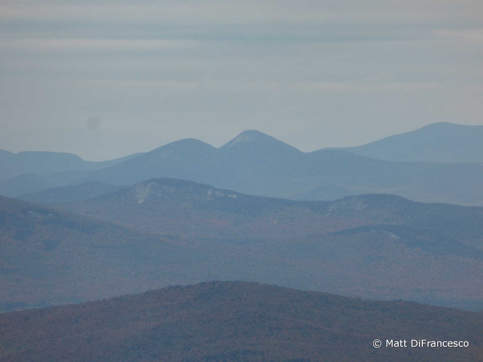
| Hazy views to the South |
 |
| More haze - from ledges near the South summit of Whiteface |
 |
| View towards Ferncroft |
 |
| Mt. Chocorua behind the long lumpy ridge of Paugus |
 |
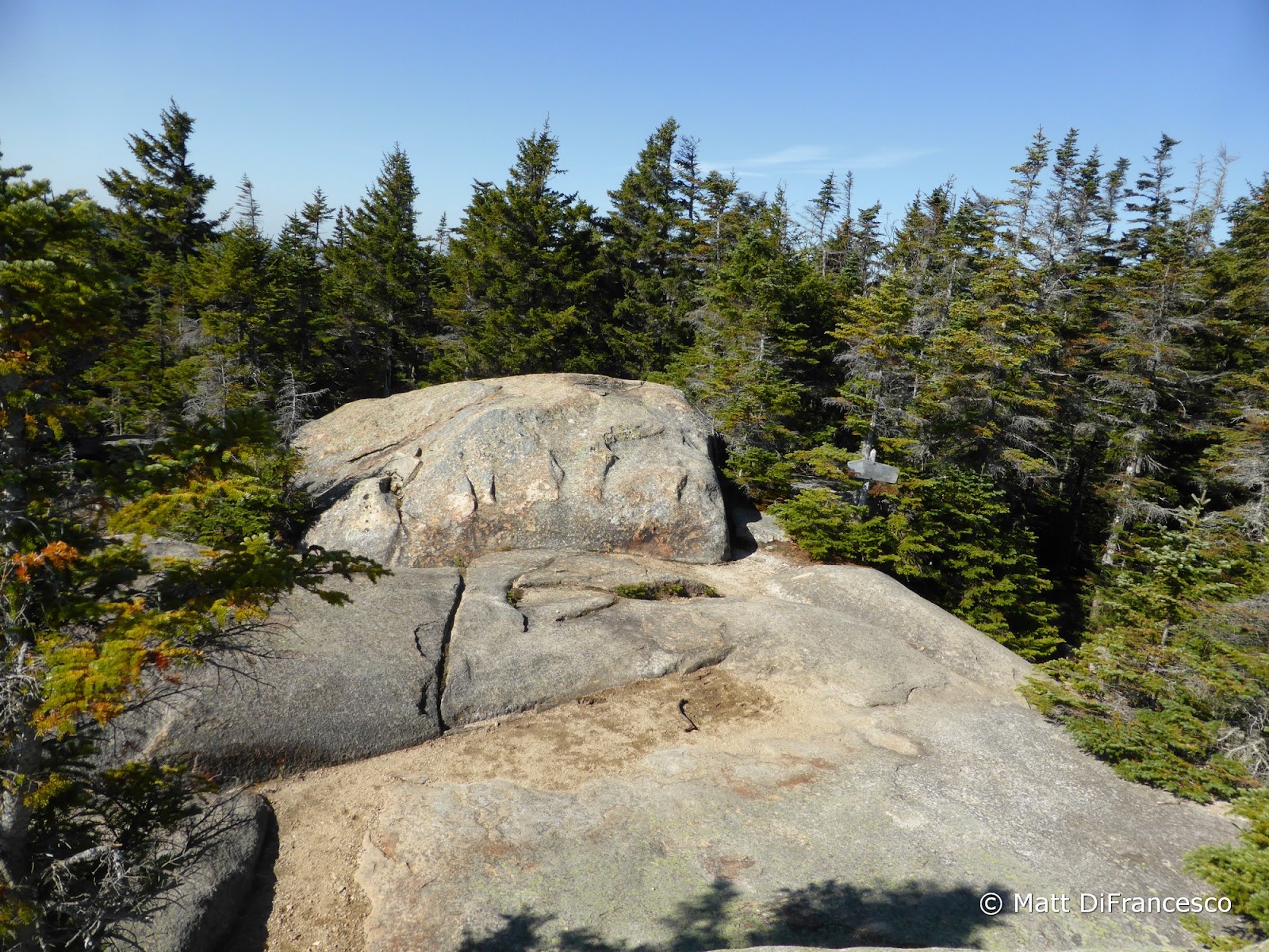
| South summit of Mt. Whiteface. If you stopped here, you didn't go to the real summit! |
 |
| Mt. Passaconaway looms across The Bowl |
Once leaving the Southern ledges, we continued along the Rollins Trail down, then up to the true, wooded summit of Whiteface, where a quick picture later we were off. The rest of the Rollins Trail gently meanders its way down to the deep Whiteface-Passaconaway col, with a few restricted views into "The Bowl", the valley between these peaks that has never been logged in recorded history. Once we began the climb up the Dicey's Mill Trail to Passaconaway's summit, we took a short detour into the clearing near the trail that was the site of the now-removed Camp Rich Shelter. I've read that the latrine had been left, and I wanted to see that for myself (why, I don't know!). Sure enough, it is there, up a steep incline behind the old shelter clearing, a simple box toilet.
 |
| Remnants of a blowdown snarl that occurred when the remnants of Hurricane Sandy blew through in 2012. |
 |
| View into The Bowl |
 |
| Site of the former Camp Rich shelter |
 |
| The Camp Rich latrine. |
Once we made the summit of Passaconaway, we re-traced our steps back down and took the East Loop the short distance around the summit cone to the Walden Trail. From here to Paugus Pass, the Walden Trail was steep in places, rugged, and challenging. Most challenging was a sheer ledge just above Paugus Pass, which if it had been wet or icy would have been extremely hard to descend. The trail was also clearly lightly-traveled, and Paugus Pass was eerily quiet.
 |
| The Tripyramids from an outlook just below the summit of Passaconaway |
 |
| The Hancocks (L), The Captain (ledgy lump in the center), and Mt. Carrigain (R) |
 |
| Franconia Ridge in the distance |
 |
| Summit of Passaconaway, where someone decided to deface this tree to mark the site... |
 |
| Lightly-traveled trail on the Walden Trail. If you look closely, you can see a person who just finished descending a ledge. |
 |
| Head right for Paugus Pass |
 |
| View from an outlook along the Walden Trail |
 |
| View ahead to Paugus, with the top of Chocorua peeking out. |
 |
| Mt. Chocorua |
 |
| This ledge was really "interesting" to descend. |
From Paugus Pass we continued past the Kelly Trail before reaching our descent trail: the Cabin Trail. The Cabin Trail started off with a slightly obnoxious side-hill section, but that was short-lived and soon became a nice, gradual descent to the road. Aside from a massive multi-treed blowdown snarl that completely blocked the trail (though there was a flagged route around it), there was nothing tricky on this trail, and it offered nice descent back to the waiting car.
 |
| Near the lower terminus of the Cabin Trail |