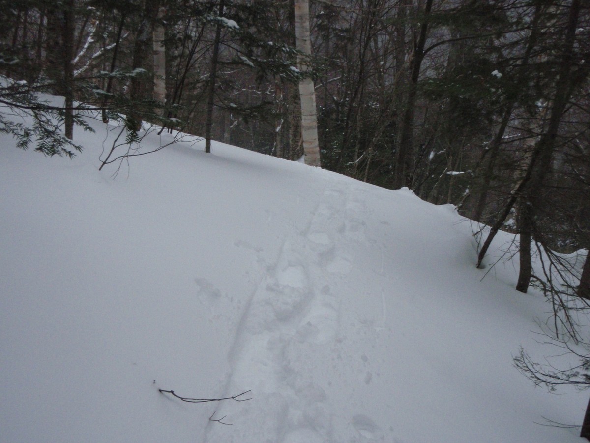
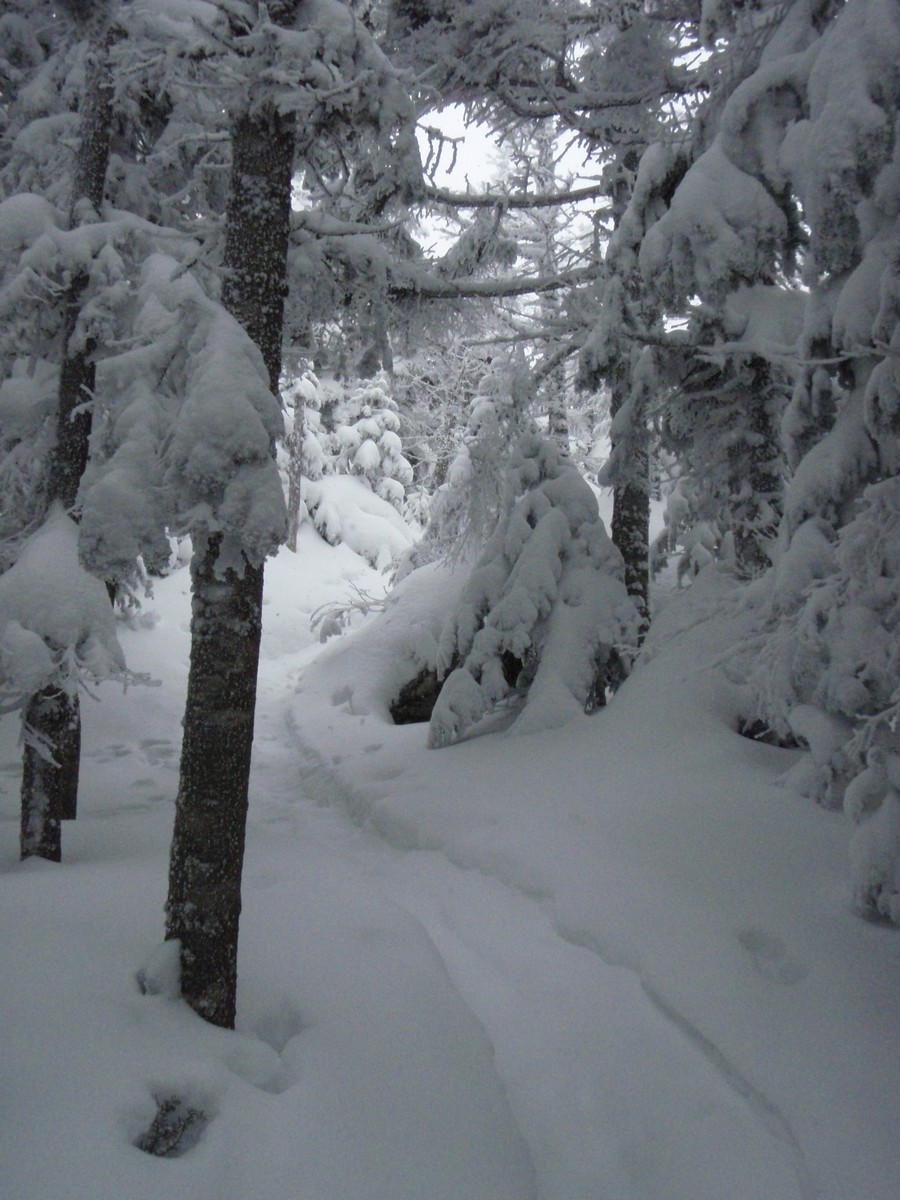
Pardon the lengthy post that doesn't actually talk a ton about the hike. This is more of a reflective posting on the last year or so while I've gotten into winter hiking. There are some pictures later in this post, I promise!
For quite a number of years to
this point, I had pretty much hated winter. Yes, when I was a young kid, I
loved playing in the snow, what kid didn't? But the luster of winter quickly
wore off as I grew older, with near daily shoveling (where I grew up
"enjoys" 100" of snow a year, usually a couple inches at a time
for 3 months, with little sun, just gray skies during winter), and then having
to drive in it (which can be fun, but also tedious depending on the day), and
so on. So, essentially I dreaded winter,
and spring never came fast enough for me. On top of that, my first winter in
Massachusetts saw one of the snowiest winters in a long time hit the area.
Now here I was in late 2011, with another winter about to start, and me
waiting for it to end and the hiking season to begin again. During the fall
when I had gone on the random hiking weekend with my friend, I had signed up on
one of the Northeast hiking forums,
Hike-NH. Around this time, people started posting
trip reports from their winter hikes. And there were GORGEOUS photos of
snow-draped landscapes, rock-less trails, and the bluest skies I'd ever seen in
my life.
After a month of this, you could say something snapped in my head. It
was mid-January and I decided to bite the bullet and dive into this winter
hiking thing. For whatever reason, it never entered my head that I might not
like winter hiking, despite my overall hatred of winter hiking. Perhaps it was
the fact that there had been essentially no snow thus far where I lived.
Perhaps it was something else entirely. All I know is that I went right out and
bought snowshoes, microspikes, winter clothing, and more, all the stuff I would
need for a safe and fun winter hike per suggestions from the experienced winter
hikers on the forum.
Where to go first? Well, opinions widely varied there, with most people
suggesting something low-key but still fun, something like Mount Crawford in
Crawford Notch, and similar suggestions. But I went right for a 4000-footer.
Heck, I had essentially not hiked in 4.5 years, it shouldn't pose a problem, right
(well, I was out of shape, but it did go smoothly enough)? Ultimately, I
settled on Mount Hale due to the weather forecast (light snow), and set out
early in the morning (solo! - the first time I'd ever hiked alone) on January
21, 2012 from Route 302 hiking up Zealand Road to the Hale Brook Trail. While
Hale doesn't have views anymore on even a clear day, this day was lightly
snowing pretty much the entire time, guaranteeing nothing to be seen from the
summit. However, that combination with the already snow-draped woods was mesmerizing.
I had a terrific time, and the next day hiked to the open summit of Mount
Jackson on what I would later come to know as a "Presi Day" - clear
skies, mild temps, and light winds. Yes, this was something I wanted to do more
of, and yes, I was going to go right after that Winter 4000-footer patch!
As the remainder of the winter unfolded, I spent every week watching
forecasts and picking 4000-footer hikes. Early in February I took a Friday off
from work and hiked Franconia Ridge on another bluebird day. ALL of Franconia
Ridge, as in from Lafayette all the way to Flume and back to Liberty, with the
bike path walk back to my car at the end of the day, the longest hike I'd ever
done in my life at that point. Later that weekend I hiked with some of the
people from the forum I had joined, as we hiked with the rest of their friends
to Mount Isolation on what ended up being a view-less and frigid (-10F at the summit
with -40F windchills), but nonetheless awesome day. Carrigain fell, the
Kinsmans were an awesome President's Day hike, and more came in between. I
entered March that year wanting to hike at least once in the Presidentials
before the end of this winter. Just once! I got 3 days, all in one long
weekend, in early March that year, finishing off that range completely. Then
there was the undercast spectacular on Moosilauke a week later.
While the winter of 2011/2012 was certainly extremely mild,
particularly in terms of snowfall, it was a great winter for me to get into
winter hiking. Trail-breaking was minimal, and I could just focus on the little
details of clothing adjustments, gear loadout, and such. I enjoyed every single
hike immensely, and by the end of the calendar winter, I sat at 27 of the 48
4000-footers completed in a mere 2 months! To me, it seemed like a slam-dunk to
finish in the winter of 2012/2013, as I'd have 3 whole months to do fewer
hikes.
The rest of 2012 was spent hiking, and hiking a lot. But in the back of
my mind all year was the anticipation for winter. I had found what all other
winter hikers already knew: winter hiking is better than any other season. The
trails are still steep, you need to carry more gear due to the cold weather, trail-breaking
in deep snow is tough, and you can't stop too long or you get cold fast. But,
the rocks,roots, and other things that make the trails in the rest of the year
so tough are hidden under a nice smooth ramp of snow. There are never any bugs.
Descents can be a ton of fun (if you like to slide), and quite a bit faster
than in summer even if you stay on your feet (my general preference). And if
you get a sunny day, the views are almost guaranteed to be better than anything
you would get in the summer with the haze limiting things. And oh yea, snow
falling during a hike is a lot more pleasant than rain. Now that I had
something to do in winter that I enjoyed, it didn't seem to last nearly long
enough. What was going on, was I actually looking FORWARD to winter?!?!
December 2012 came and all I was doing was wanting the snow to fall,
and eventually it did. I had to wait until after Christmas to start back in on
the winter 4000-footers as it was the holiday season, but I did get back on the
trails. 2012/2013 was a much tougher winter than the year before, with nearly
every hike requiring snowshoes, often breaking trail at least through a couple
inches of fresh snow, and it seemed that every weekend was rotten weather. I
had the good fortune to have found a couple of people from the forum that I
hiked with fairly regularly during the winter, so I actually did more hikes with at least one
other person than I did solo (versus the year before were only 4 were not
solo). With the poor weather, I didn't rack off the peaks quite as fast as I
had expected, but that was fine by me. I was enjoying myself instead of just
trying to "get it done".
Eventually I decided I'd love to finish on a Zealand & Bonds
traverse, ending on Bondcliff. I wanted to save such a long hike for late
February or March, when days are longer and the weather tends to be better, and
so it was logical that these peaks would be near the end anyway, and the Bonds
are possibly my favorite peaks of all the 48. February was riddled with storms,
both at home and in the mountains, but I stayed on track to finish on the
Bonds. Yes, it meant that I got no views from Garfield or Moriah, a couple of
my favorite non-alpine peaks, but they were cool hikes in their own ways
(especially Moriah for #44, which I hiked solo, amid a snow storm of sorts
(light snow accumulating roughly 3" during the hike), where I saw not a
single sole the whole hike).
And then it was down to the final 4. The stars all aligned for this
hike, with over a week of stable weather in the White Mountains at long last (though
at home I got dumped on with 14" of wet snow the day before the hike),
many hikers posting trip reports from hiking the Bonds and Zealand in various
fashions (so we wouldn't be breaking trail), and then absolutely the greatest
forecast I'd seen all winter. Patrick (working on his all-season 4000-footers
and needing all of these peaks) and Ian (needing these for winter) came along,
while most everyone else spent the day in the Presidentials, and we set off
from Zealand Road at 5:45 in the morning, with the sky having just lightened to
the point where headlamps were not necessary.
Yes, this was to be a 23.5-mile, 5000-foot elevation gain hike, a top-2
difficulty hike for me all-time based on those numbers. But I was eagerly
looking forward to it. The first leg of the hike, a long 3.5-mile road walk to
the Zealand Trail trailhead went quickly enough with bare boots working
perfectly. Somewhere shortly before the trailhead was reached, I realized the
irony of how we were going to be hiking on the first trail I had ever hiked on
in my life on way to my final winter 4000-footers (Zealand Trail). The walk
through the beaver swamps in the morning sun, with not a cloud in the sky, was
magical.
 |
| Zealand Mountain from the Zealand Trail |
 |
| Ice-covered bushes along the Zealand Trail |
The climb to Zeacliff after a break at the Zealand Falls Hut and
putting on the snowshoes was its usual steady self, with the outlook at
Zeacliff being absolutely stunning. A nice break here, enjoying the views,
before the trek over to Zealand, with peeks here and there above the trees to
the summit ahead. We were amazed at just how much snow there was on the ridge,
with a solid 5' covering most of this day's hike above 3000 feet or so in the
trees. Those before us had done a terrific job of finding the trail through the
tree branches that were now neck-height instead of being well overhead, and we made
it to the summit spur to Zealand's view-less summit in good order. Pictures
taken of the always-fabulous sign on the summit (now a mere 2 feet above the
snow as opposed to the over-my-head that it usually is), we were off to what I
was looking forward to the most: the alpine summit of Guyot, and then the
Bonds.
 |
| Nice view of Carrigain Notch from Zealand Hut's front porch |
 |
| Pano from Zeacliff Overlook |
 |
| Whitewall Mountain from Zeacliff |
 |
| Carrigain |
 |
| Jefferson and Washington behind Mount Tom from Zeacliff |
 |
| Bond (L), Guyot (C), Zealand (R) |
 |
| This sign is normally above my head, now it's 2 feet off the snow! |
The trek across the open summits of Guyot was awesome, and one of the
highlights of my winter hiking time thus far. We spent copious time gazing
across the snowscape, eyeing all the surrounding peaks, and even easily seeing
distant ski slopes in Vermont by eye. Then it was off to West Bond for its
awesome views, then to Bond, and its 360-degree views. It was all stunning, and
we marveled at the lack of wind and how warm it was (so warm in fact that we
had some mild snow-balling under our snowshoes, and were sweating on the
uphills - perhaps black clothing isn't always the best color in winter!).
Furthermore, we had seen not a sole since leaving Zealand Hut, where the
caretaker and 2 overnight guests (both heading back to the road) were all we
had seen. We could see a few people on the Bond-Bondcliff Ridge while on West
Bond, and shortly after reaching Bond a few of them reached the summit.
 |
| Pano from Guyot - Franconia Ridge in the center |
 |
| Turnoff onto the Bondcliff Trail |
 |
| Trekking across Guyot |
 |
| Someone had to dig out the sign at the spur to the Guyot Shelter |
 |
| Bond from West Bond |
 |
| South Twin |
 |
| Bondcliff from West Bond |
 |
| Carrigain behind Bond from West Bond |
 |
| Pano from West Bond (slightly lower summit of West Bond in front center) |
 |
| Thor reaches the summit of Bond |
 |
| Mount Washington from Mount Bond |
 |
| Thor and Dave Bear reach Mount Bond |
 |
| Flume and Liberty, Moosilauke between them in the distance |
After a nice break on Bond, it was time for the awesome ridgewalk and
final climb to the final summit, Bondcliff. Many thoughts were going through my
head during this section, but mostly they related to how lucky I felt to be
where I was on such a gorgeous winter day. With a final push, the short climb
to Bondcliff was complete, there were congrats and handshakes from my hiking
companions and a couple we had met on Bond. While I'd contemplated doing/bringing
something special for this final peak, I ultimately didn't, as I wanted to enjoy
the moment as I'd enjoyed all the others (and I didn't want to carry any more
extra weight for 23 miles!). The normal "cliff shots" on the famous
cliff by the Bondcliff summit would have to suffice as special. That, and the
couple of snowballs we threw off the cliff and watched fall until they were out
of sight a couple thousand feet below.
 |
| West Bond |
 |
| Bondcliff from below Bond |
 |
| West Bond from Bondcliff |
 |
| Franconia Ridge and Garfield from Bondcliff |
 |
| Carrigain from Bondcliff |
 |
| Mount Washington from Bondcliff |
 |
| The famous cliff by Bondcliff |
 |
| Woo-hoo, Winter 4000-Footer #48! |
 |
| Patrick stares out over the Pemi |
 |
| 360-pano from Bondcliff |
 |
| Had to try the pano feature on my phone (versus the camera shots stitched together above here) - not bad! |
 |
| Another phone pano from Bondcliff |
The hike out to Lincoln Woods was long, and headlamps came on about a
mile before the bridge at the Lincoln Woods Trail/Bondcliff Trail junction,
with the remainder of the hike out being mostly in silence as we were all tired
but also reflecting back on an amazing day.
 |
| The bridge over the Pemi River by the parking lot at Lincoln Woods |
For me, it has been an amazing 14 months, during which time I
re-discovered a love for hiking, found "my" winter sport, and have
met many great people along the way. While I may be "done" with the
winter 4000-footers, I have no plans to stop now, and foresee many re-summits
of these peaks in the years to come. While there will be other awesome hikes in
the future, this trek to Zealand and the Bonds will always rate as my favorite,
not for it being the end of a journey, but for it starting yet another chapter
in my hiking career. Here's to many more winter summits!
Summary:
Peaks: Zealand (4260', NH4K), Guyot (4580'), West Bond (4540', NH4K), Bond (4698', NH4K), Bondcliff (4265', NH4K)
Trails: Zealand Road, Zealand Trail, Twinway, Zealand Spur, Bondcliff Trail, West Bond Spur, Lincoln Woods Trail
Mileage: 23.5 miles
Elevation Gain: 5000 feet
Book Time: 14hr 15min (actual: 13hr 55min)