Humphreys Peak - 12,633' - Arizona's state Highpoint
Mileage: ~10 miles
Elevation Gain: 3400ft
En-route to Los Angeles for a business trip beginning on a Saturday, I decided I should take a few days off for myself and made a slight detour to Phoenix, Arizona. 2 hours of driving after landing, I was in Flagstaff, ready for a couple of days of hiking. The next morning, I woke up early (the 3-hour time change works in the favor of East-Coasters!), had breakfast, and drove the short ~20 minute drive to the Arizona Snowbowl, a ski area which shares parking with the trailhead for Humphreys Peak. While on my visit, Flagstaff saw daily high temps in the mid-80s, but being a desert area, it gets quite chilly at night. In fact, at the trailhead at 7:30AM, a couple hours after the sunrise, it was in the upper 30s!
An extra day of acclimation to the elevation would have been good (Flagstaff is at 7,000ft, the summit at over 12,600ft), but I figured by taking it easy I would be okay, and worst case I had another day too. Humphreys Peak once was a massive volcano, standing over 17,000 feet tall, before the side of it blew off long, long ago, leaving a series of peaks along the edge of the old caldera. It rises abruptly out of the plateau surrounding the Flagstaff area and continuing up to the Grand Canyon, and is quite striking as you drive up the highway from Phoenix. You can't miss it from downtown Flagstaff!
 |
| Next to the trailhead parking lot |
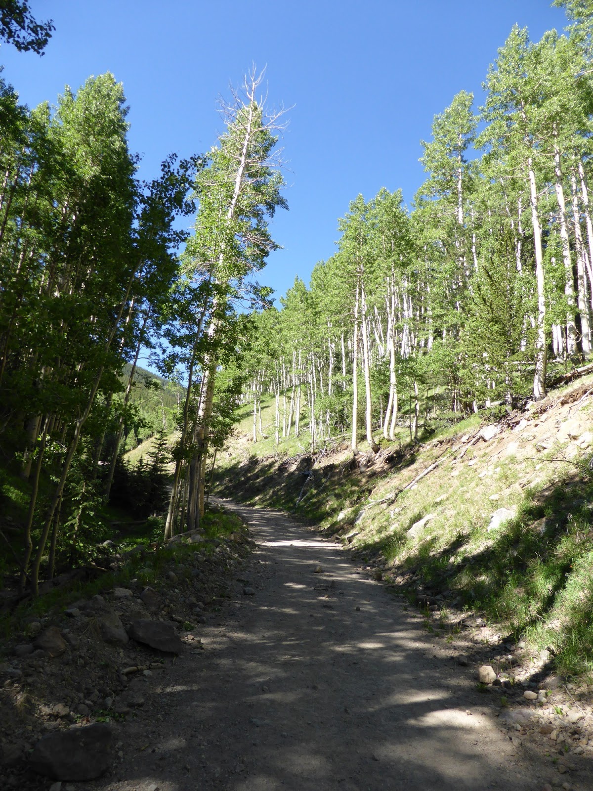
The Humphreys Trail climbs from about 9250' to the main saddle (11,800') between Humphreys Peak and Agassiz Peak, the only other 12,000-footer in Arizona. From there it follows the ridge to the summit, though there are 3 false summits along the way (none require a subsequent descent though, so they aren't so bad). That final stretch along the ridge is above treeline and offers spectacular views in all directions. Below the saddle, the trail was actually somewhat reminiscent of trails in New Hampshire: rocks, roots, and a fairly steady grade after the initial mile. It never got all that steep though, which was good considering the thin air one finds at these elevations. Lots of switchbacks are present, which seems to be the norm in the Western US. Down low the woods are a mix of aspen and some sort of pine, and up high before treeline there are lots of bristlecone pines.
 |
| The field at the trailhead was full of these plants |
 |
| Why yes, that is the trail! |
 |
| Ski slopes on Agassiz Peak's flank |
 |
| Agassiz Peak |
 |
| Scree field along the trail |
 |
| "Hiking off trail prohibited $500 fine". "11,400 ft. No camping above this elevation". |
I made pretty good time on the lower 2/3 of the trail before the saddle. While a bit rocky, it was footing quite familiar and the grades were nice. Then, around 11,000 feet, my lungs reminded me that it's a lot harder to breathe at that elevation and my pace slowed dramatically. Coincidentally, that's about the same time the major views start! Hitting the saddle, which is also a trail junction (the Weatherford Trail ends here - it offers a much longer ascent route from the South/SouthEast), I was stunned to see a massive field of green laid out in what was the center of the old volcano. What a view!
 |
| Looking West from near the saddle |
 |
| Snow, in late June, in the desert, yup! |
 |
| The trail continuing from the saddle to Humphreys Peak (background right) |
 |
| Pano from the saddle - Humphreys on the left, Agassiz Peak in the distance on the right |
 |
| Trail junction - the one and only one of the day |
The trail along the ridge was predictably rocky, but the footing was actually pretty decent, and while the next mile or so gains about 850 feet, it never felt all that steep. There just wasn't any oxygen! Still, slow and steady with ample picture breaks, and before too long I was at the top!
 |
| The inner basin of Humphreys Peak |
 |
| Instead of cairns, they use sticks like these above treeline to mark the trail |
 |
| Bristlecone pine |
 |
| Freemont (L) and Agassiz (R) Peaks during the climb to Humphreys Peak |
 |
| There was a snowfield just a couple feet off the trail. It begged to have a snowman made from it. This was all my fingers would permit me to make. |
Views were 360 degrees, with Flagstaff to the South, the Painted Desert to the East and Northeast (and a peak way beyond it that I was informed was on the New Mexico or Utah border - I forget which), and the North rim of the Grand Canyon way off to the North was quite visible too. In the immediate vicinity were lots of little volcanic-looking peaks, and the awesome inner basin (the inside of the ancient volcano).
I was the 4th person of the day to summit apparently, and others soon summited shortly after me, with lots of great conversations commencing. I was easily the one from the furthest away (well, I think I may have been the only non-Arizonian up there!)
 |
| The heart of the Inner Basin - the bright green is almost all aspens and must look amazing in fall! |
 |
| The sign had fallen over :( |
 |
| But that was easily fixed! - US State Highpoint #5 (I'm not really working on that list) |
 |
| The Grand Canyon, 60-80 miles to the North |
 |
| Fremont (L) and Agassiz (R) Peaks from Humphreys Peak |
 |
| Staring over the Painted Desert |
 |
| The Painted Desert |
 |
| Doyle (L) and Fremont (R) Peaks |
 |
| Looking back at the parking lot where the car is waiting |
With views like this, plenty of daylight left, terrific temps, and hardly any breeze, it was easy to stay here for quite a while. I signed the register (which was full, so people were signing in margins, corners, and wherever else they could fit), took pictures, ate snacks, drank water (lots of it!), chatted with other hikers, and simply enjoyed the day. A number of the "locals" commented that I couldn't have picked a better day for this. Between the perfect hiking temps, the low winds (apparently 2 days before in town there were 70mph winds!), and the great visibility, I had to agree. A little bit of a breeze actually would have been nice, as with the still air, there were a lot of swarming bugs, but unlike the obnoxious black flies of the NorthEast, these were just swarmers, and not really biters.
Eventually I did tear myself away and headed down, but not before deciding for certain that my hike the next day would be among the trails that go through the Inner Basin and all those awesome aspen glades! The descent was easy, and I was back at the car in good order. Off to the motel for a shower and then out to dinner!
 |
| Bristlecone Pine |
 |
| One last view from the saddle into the Inner Basin |
 |
| The clouds came out during the descent - how dare they! |
A side note on the altitude: normally I would do a bit more acclimation for a hike over 10,000 feet. At no point on this hike did I feel anything more than shortness of breath from the thin air. No headaches, dizziness, or the like. I drank about 3.5 liters of water on this hike, which for me is a lot on a 10-mile hike even in the summer (and the temps were pretty nice for hiking on this one), but I wanted to stay ahead of the game. If I had felt any symptoms, I would have headed down and tried again the next day. But interestingly, after I got back to the car, I proceeded to have a pretty good headache for the rest of the evening. Thankfully I slept it off back in town overnight and was back to 100% in the morning.
 |
| About 10 miles and 3400 feet of elevation gain. |
 |
| The trail overlaid on late April 2013 imagery. |