Sunday, March 3, 2013

#44 - Moriah - February 24, 2013

For me, this was a contemplative hike. It was a solo hike, with it lightly snowing throughout, in snowy woods, and I didn't see a single person the entire trip, or even a sign of anyone having been through since the day before. The combination of solitude, no views, and beautiful, snowy woods left me with a lot of time to ponder what I was nearing the completion of: the New Hampshire 4000-Footers in winter. After this trip to Moriah, I would be 4 peaks away from completion, all of which are planned to be hiked in one long day hike some time in March (Bonds&Zealand North-to-South traverse). I'll save the thoughts that struck me on this hike for the trip report for the finishing hike, however.

For this hike, I was going to take a new route to Moriah. I would take the Stoney Brook Trail up to the Carter-Moriah Trail a little over a mile South of Moriah, take that trail to the summit, and return the same way. Stoney Brook is a popular approach in winter (though Carter-Moriah from the North is too), and I had seen a few cars in the lot on my way South the day before. Thus I knew it had been broken out since the last storm, though there was 3" of new snow on the ground in Pinkham Notch in the morning of this hike. But just up the notch where the trailhead is, there was less than 1" of new snow.

Crossing the bridge just past the trailhead with snowshoes in hand, I was surprised to find not only the mere 1/2-1" of new snow, but there was also a very hard-packed trail underneath. Shrugging to myself, I put the snowshoes on the pack for the moment, figuring I'd be putting them on soon enough anyway.

The early part of Stoney Brook Trail has a couple of footbridges over stream crossings, and an overall gentle grade on old road grades to the main unbridged crossing at 1 mile in. This one had a solid snow bridge across it. Just past this, another road comes in from the right, and the trail hooks a left onto this road and follows it for a while longer (until it basically ceases to look like a road). Here I put on the snowshoes as there was now over 2" of new snow, and I expected it to get a little deeper yet.

Old woods road down low on Stoney Brook Trail
I was not disappointed. It is 3.5 miles from the trailhead to the junction with the Carter-Moriah Trail on the ridge, and in the last 1.5 miles or so, the grade picks up significantly. And in this stretch, the broken trail all but disappeared due to drifted snow. In fact, I essentially had to re-break out the trail through upwards of 12" of powder in this stretch. My first real trail-breaking experience this year, and the first where I was solo. Luckily, the trail corridor is very easy to follow on this trail, and while slow, I made it up to the junction on the ridge without any trouble. It was actually kind of fun, but I was definitely happy to see a broken trail with only a couple fresh inches on it heading to Moriah!

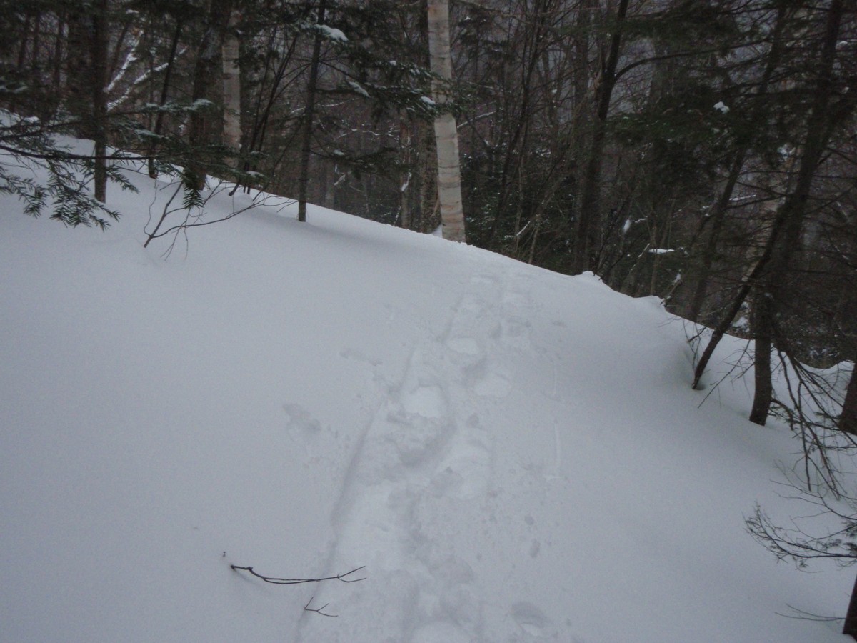
Fresh tracks in a couple inches of snow

Not much left to the snowshoe track here!

Breaking trail in several inches of snow

Beautiful woods in here though, have to love that snow on the trees

Sign at the Stoney Brook/Carter-Moriah Trail junction

Looks like some traffic to/from the South on Carter-Moriah Trail yesterday
From the junction, it is a fairly moderate overall climb to the summit of Moriah, crossing over several open ledges that in clear weather have terrific views into the valley (I've been on this stretch before in 2003 on a backpacking trip). But there was nothing to see today, I guess I'll have to come back again! The climb has a few short steep stretches, mainly to get up on some of the ledges, but overall it isn't bad, and with the trail not being drifted in in too many places, I made my way to the steep rock ledge just below the summit in good order. The only confusing spot was at one of the flat open ledges shortly before the summit where and extra carin to mark a turn would have been useful (I initially went straight ahead for several yards until I figured it out).

A large trail-side boulder coated in a thin coating of snow

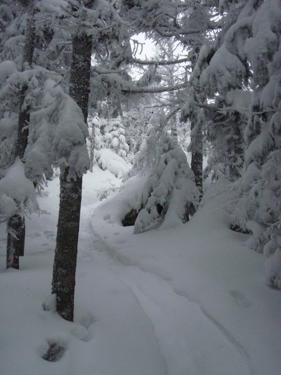
Wintry wonderland on the Carter-Moriah Trail

Not much visibility on these ledges

Trail junction just below the summit of Moriah - the Appalachian Trail bypasses the summit via the Kenduskeag Trail
The steep final rock climb to the summit had quite a bit of snow on it, and the snowshoes gripped just fine going up it. Just a few yards past this, the short spur to the mostly-open summit of Moriah led to views of, well, a cloud, as expected.

View from Moriah...
In clear weather, you have great views from Moriah, including the Northern Presidentials (picture from Nov. 10, 2012).
With a little bit of a breeze and no views, I retreated to the trees by the summit spur for a break before heading down. I figured there was a good chance I'd see some people coming up from the Northern end of the Carter-Moriah Trail while I was here, but no one ever did, and I never saw anyone during my descent either, interestingly.

The descent, as is often the case in winter, was fast, even in the drifted section of Stoney Brook Trail. A few spots on the ridge had drifted back in again since I headed up earlier, but only a minor amount. I did my best throughout my descent to break out the other half of the trail (the spaces between footprints) for those coming later, but with a couple more inches of snow likely falling in the late afternoon and evening, who knows how much re-breaking was needed come Monday morning. With the lightly falling snow and soft trailbed, it was definitely a nice descent, and in what seemed like no time at all I was back at my car with only one hike left to finish the Winter 4000-Footers!

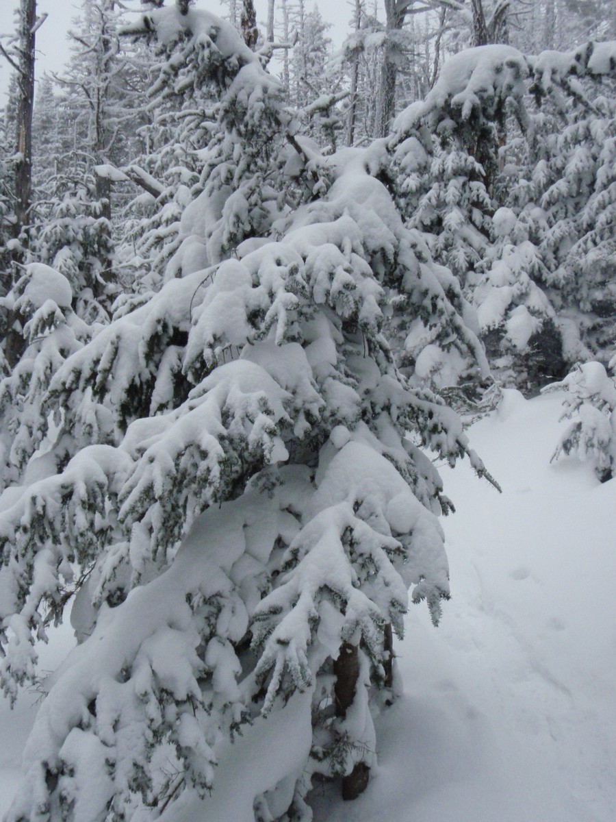
Rimed + Snowed-on trees near the Moriah summit spur


Lots of snow up near the summit here
Summary:
Peaks: Moriah (4049', NH4K)
Trails: Stoney Brook Trail, Carter-Moriah Trail
Mileage: 10 miles
Elevation Gain: 3400 feet
Book Time: 6hr 40min


Saturday, March 2, 2013

#43 - Cabot - February 23, 2013

Finally, I was getting to the weekend for the 2 Northern peaks I had left on my winter 4000-footer list: Cabot and Moriah. This weekend had originally been scheduled for February 9/10, but Winter Storm Nemo decided to dump over 2 feet of snow on Massachusetts and Southern New Hampshire Friday night into mid-day Saturday, so we postponed it to the next weekend that Pam had available (Pam was scheduling this hike through the Meetup group Random Group of Hikers). Yet we almost had a repeat cancellation as yet another winter storm set its sights on the Northeast for this weekend (Saturday night into Sunday), but ultimately we continued on.

A couple people dropped out due to concern over the drive home Saturday night (which sounded like it was a little hairy at times in fact), but we also gained a couple add-ons, Ian who I'd hiked with a couple times this winter already, and grid-finisher Joe Commuzi, who I'd hiked with on the AMC trip to the Osceolas earlier this month. This would be Joe's 19th time summiting Cabot! He also brought along his hiking hound Paprika for this one, and Paprika has 4 rounds of the 4000-footers to her credit as well! All told, we had a great group of 9 people and 1 dog, and it was a great hike.

Setting off from the lot on York Pond Road at 9AM, we took the York Pond Trail for a brief distance to where the Bunnell Notch Trail diverges to the right, and took that into the notch where we would pick up the Kilkenny Ridge Trail to the summit of Mount Cabot. For me, this was my first time approaching Cabot from this trailhead, so while the stretch from the Notch to Cabot's summit I had traveled back in the summer, there would be some new trail for me this time out, which is always a fun experience.

The hike to the height-of-land in Bunnell Notch is pretty gentle overall, gradually climbing on a series of logging roads with some minor ups-and-downs along the way. Early on we put the snowshoes on, and used them for the entirety of this hike, as we had anticipated. This portion of the hike went pretty quickly. Then there is a short descent to where the Kilkenny Ridge Trail climbs up to Cabot.

Gearing up to go

Most of the hike to Bunnell Notch looked like this.
 The climb from the notch to the Cabot Cabin is steady, but not overly steep. That said, it is a climb of roughly 1000 feet in about 1 mile. In the final push to the cabin, we ran into the first people we'd seen since leaving the trailhead, a solo hiker heading down who had just finished #47 on his 4000-footer list (non-winter) and a duo who came up behind us and were planning to loop out over The Bulge and The Horn after summiting Cabot. We took a short break at the cabin, then headed out for the summit, about 4/10 of a mile away.

Just past the cabin is a clearing where an old tower used to be, which has some limited views on a clear day (we were in the clouds, so no view to stop for). However, the broken-out track ended here. A major OOPS for the guy who thought he'd gotten #47, guess he forgot to read the White Mountain Guide which makes it pretty clear that the summit is 4/10 mile past this. This seems to happen every year though. For those approaching from this side, note that the cabin is nearly 200 feet lower in elevation than the summit (which has a sign by the way). Ian picked his way through the woods, which are a tad open in spots, finding bits of old tracks here and there and we reached the summit with no real trouble. The actual high point is a handful of yards to the Northeast, where there is a small "stick sign" nailed to the back of a tree, but most people just use the signed tree as the summit, it's close enough really.

Stick sign at the high point on Mount Cabot

Paprika looking for handouts while we stopped at the summit
After a short break, where the duo behind us started off for The Bulge, we headed down to the cabin for a break before the descent. Not long after we returned to the cabin, the duo came back, reporting they had lost any trace of where the trail went within the first 200 yards from the summit, so they decided to abort, especially with weather rolling in.

After a nice break, we began heading down, stopping near the bottom at the Bunnell Rock overlook, which we had missed on the way up. There was a little bit of a view towards Terrace Mountain on the other side of the notch.

Terrace Mountain from Bunnell Rock


The rest of the descent went smoothly, then it was just the 3-mile trek back to the parking lot, during which time it began to snow lightly. Back at the parking lot, everyone went their separate ways to get home, though I drove down to Pinkham Notch where I spent the night at Joe Dodge Lodge before my planned hike to Moriah on Sunday.

On a side note, we saw a TON of people hiking Cabot on this hike, more than the couple noted above. In fact, Ian commented that there were more people on this mountain today than in his previous 5 trips combined!

Summary:
Peaks: Cabot (4170', NH4K)
Trails: York Pond Trail, Bunnell Notch Trail, Kilkenny Ridge Trail
Mileage: 9.6 miles
Elevation Gain: 2900'
Book Time: 6hr 15min


Tuesday, February 26, 2013

Garfield - February 16, 2013

This was originally going to be a partly sunny day. But of course the forecast changed the day before. But since I was up, I was going to hike, and since I'm getting really close to finishing the New Hampshire Winter 4000-Footers, I stuck with the original plan instead of changing to a lower elevation peak where I might have been below the cloud deck, since I'm out of such peaks right now.

In the winter, Gale River Loop Road, which accesses the Garfield Trail trailhead, is closed and gated. But a small lot area is typically plowed off the highway in front of the gate. I initially jumped into this lot, powering through the bank alongside the road, but with the lot clearly not having been plowed in several days, I decided to get out of there and park elsewhere (I was the first one into this lot this morning it appeared). Just North on Route 3, there is a small lot on the left across from the Northern end of Gale River Loop Road, and so I parked there (this area is referred to as "5 Corners" and is at the intersection of US3 and Trudeau Road). It only adds 0.2 miles each way to the hike. Several others had parked here already, and some were there gearing up for Galehead.

I hit the road at 8AM sharp, snowshoes and microspikes on the pack. The walk on the shoulder to the Southern end of Gale River Loop Road (the one closer to the Garfield Trail) went quick and I started up the road itself. The road was fairly hard-packed though lumpy, but I made my way with little trouble to the trailhead itself, avoiding the couple of side roads that are used for logging and for snowmobiling (keep left where the snowmobile route continues ahead when you are inbound). 1.5 miles in, with another 5 miles to go to the summit.

I started off in microspikes, but just past the 2 crossings on this trip (both nice and fully snowbridged), I put on the snowshoes. The snow was getting deeper, and I didn't want to cause damage to the trail. Higher up, the snowshoes became essential.

I'd had a terrible night's sleep, and just wasn't feeling it early on, but slowly and steadily I made my way up the gradual trail. The wonderful thing about the Garfield Trail is that there is not a single steep section. However, that also means it is LONG.


There was little to see as far as far-reaching views go, but plenty to see as far as beautiful winter woods go. And, as I passed through the final switchback (yes, this trail has several of them!), I had company. No, not other hikers (and in fact aside from the snowshoe prints of one hiker ahead of me, I hadn't seen a sign of anyone since the parking lot), but GRAY JAYS. These handsome little scrounges are pretty common in the White Mountains, particularly in the Crawford Notch area, but I've seen them in a number of other places, including on Garfield back in November. Here they provided me with a great source of amusement. After seeing one at a short rest, every time I stopped for a quick breather, 2 would land in nearby branches (I assume they were the same 2 jays). All the way up the last 1/2 - 3/4 mile to the summit! They were obviously looking for snacks, and while they got one or two peanuts, they were probably a little disappointed in this hiker. But they stuck with me until I left the summit, obviously hoping for more.


0.2 miles from the summit, the Garfield Trail ends at the Garfield Ridge Trail. Here is the only steep part of this hike: the last pitch to the summit. This was filled with loose snow, but I made my way up, and was greeted by the wonderful view...of the inside of a cloud.

Summit area of Garfield

Not much to see is there?

Normally there is a great view towards the Twins and Bonds this way...

Inside the old fire tower foundation

While the winds were calm and the temperature reasonable, there was little to see so I returned to the trail junction for a little while, before starting down. Before doing so, I noted that the tracks I had been following all day had returned from the summit and then headed off over the Garfield Ridge towards Galehead, through what looked like an un-broken trail (since the snowstorm the weekend before at least). Hope he had a good hike!

The descents are one of the best parts about winter hiking. With the solid snow coverage, there were no rocks, roots, or anything in the trailbed, just a nice smooth ramp downhill. I made great progress downhill, running into a number of groups heading up (some with large overnight packs heading towards the Garfield shelter and/or beyond). Aside from the trio of college-age kids in microspikes and crampons totally destroying the trailbed, everyone was in snowshoes and looking to be having a great time. With gravity on my side, I was down the trail, off Gale River Road, and back to the car less than 2.5 hours from when I left the top!

This was winter 4000-Footer #42 for me, with only 3 hikes left to finish. But I'll have to return to Garfield another winter day for sure to get those winter Garfield views!

Summary:
Peaks: Garfield (4500', NH4K)
Trails: Road Walk, Garfield Trail, Garfield Ridge Trail
Mileage: 13 miles
Elevation Gain: 3300 feet
Book Time: ~8hr 15 minutes (actual: 7hrs)


Wednesday, February 20, 2013

W#41 - Tecumseh - February 15, 2013

At the very last minute, I was able to take the afternoon off on Friday, at the end of what was a long, tough week at work, and so I sped off (legally mind you) for Waterville Valley. Originally I wasn't sure if I would hike on this weekend, since there were hardly any places to stay on Saturday night (owing to being President's Day Weekend) and what places there were all had minimum lengths of stays and were charging 2x the normal rate...but Friday night there were rooms at a reasonable rate. Perfect!

I knew that with a free afternoon, I could knock off Tecumseh with minimal headlamp time. Reaching the ski area parking lot at Waterville Valley at about 3:20PM, I was surprised to see just how busy they were, as the lots were pretty full for a working weekday. That's a good sign for them though. That said, people were coming off the slopes, and I was able to park about 3 spaces from the end of the row across from the trailhead. Nice!

3:30 I was off on the trail, snowshoes and microspikes on the feet until I needed one or the other. The trail was very hard-packed despite the warm temps (45F at the car), except for the top 1" which was a little softer. Translation: I bare-booted all the way to the summit (and with no trail damage mind you)! First time I've ever done that...microspikes in a couple of the steep spots would have been nice, but I managed just fine without them.

I saw one person about 10 minutes in who was heading down, and that was IT. Otherwise I had the mountain to myself. I sped along well on the lower half of the trail, which is fairly moderate, taking a couple breaks as needed but overall just trying to keep moving as I knew the sun would be setting soon enough.

Woodpeckers had a field day with this tree

Ski slopes seen through the trees along the trail
The ascent to the ski slope overlook went smoothly. The 2 larger crossings were fully bridged and presented no trouble. Just after the second crossing, and just before the hairpin turn where the ski slope viewpoint is, the trail grade picks ups significantly. I took a short break at the view point to fuel up for what lay ahead.

Tripyramids across Waterville Valley as the sun sets

Looking down the ski slope (which was closed off for some reason just above the view point)
From here, this trail gets relentless. It climbs up fairly steeply, and with no real turns and definitely no switchbacks. But the footing, even in summer, is great thanks to terrific trail construction, and this time, owing to the snow, it was a solid steady ramp up. I made surprisingly good time up, despite stopping a lot to catch my breath, and before I knew it I was into the traverse across the ravine and on the final push to the ridge. All through this upper half I noticed plenty of evidence that people had been snowboarding down the trail, must have been one heck of a ride!

Once on the ridge, I noticed the Sosman Trail towards the lifts was well-broken out (not shockingly), but I was here for the main summit. The sun had just set, but there were lingering rays of red/orange sun striking the trees in here, it was actually quite pretty (pictures didn't capture it well).

Final rays of light bouncing off the snow-covered trees
With a last final push, taking the left fork to the summit (which is the Sosman Trail in fact), I had made it, and in good time to boot (about 1hr 50min, faster than I'd have normally pushed for, but I was fighting daylight). I would have loved to have caught the sunset from up here, but oh well. I took a well-deserved, though short, break at the top to take in the final rays of light fading over the valley.

Tripyramids from Tecumseh

Osceolas from Tecumseh
With light fading fast, I threw on the snowshoes (mostly for traction, though the trail was a little less firm up top too so I'd be smoothing things out a bit before they froze overnight too) and headed down. The snowshoes provided perfect traction for the conditions and I was able to charge away downhill until shortly before the ski slope viewpoint, where I relented and turned on the headlamp; there just wasn't quite enough light to continue to see by safely. A short time later, I was back at the car, less than 3 hours from my start. Wow, that was one fast descent (45 minutes!)

And with that I was on my way to a shower and dinner, with Winter 4000-Footer #41 under my belt, and Garfield on tap for the morning.

Summary:
Peaks: Mount Tecumseh (4003', NH4K)
Trails: Mount Tecumseh Trail, Sosman Trail
Mileage: 5.0 miles
Elevation Gain: 2300 feet
Book Time: 3hr 35min (actual 2hr 45min)


Wednesday, February 13, 2013

Monadnock After the Storm - February 10, 2013

Friday night through Saturday the Northeast got pelted with a blizzard. For once living up to billing, this storm dumped better than 2 feet of snow over most of Massachusetts and Southern New Hampshire, with lesser, but still significant, amounts further North.I was scheduled to hike Cabot on Saturday and Moriah on Sunday, but cancelled those plans once the scope of the storm became apparent mid-week. But Sunday was supposed to be a BEAUTIFUL day. A Presi-worthy day even. But I wasn't going to drive all the way to the White Mountains and back on Sunday. So I went to Monadnock Sunday morning instead, as it's less than 1.5 hours away from me, and still a hearty hike.

Unlike my previous hike to this mountain in October, I opted to go from the State Park side. My reasons here were two-fold: first, I figured that the State Park might be the only lot plowed so far, and second, I wanted to try to most popular trails on this mountain at some point, but not during the "regular" hiking season when it is a veritable conga line all the way up the mountain. (Note to those hiking from the State Park lot on Poole Road: there is a $5 per person use fee unless you have a NH State Parks season pass.)

With no one jumping on my somewhat last-minute call, I set off from the White Dot trailhead at 9AM. Not knowing what to expect for trail conditions (aside from expecting needing snowshoes most of the day), I was pleasantly surprised to find a well-broken 2-foot deep trench snaking through beautiful open woods right from the start.

Nice trail-breaking by someone(s)
Soon after starting, I saw my first person since leaving the parking lot, a guy snowboarding down the trail (very much under control and he went off-trail so we could pass without any problems). He seemed to be enjoying himself!

1/2-mile in, and only a moderate amount of climbing later, I reached the first trail junction with the White Cross Trail, which I intended to take down the mountain later. I was pleased to see it was broken out, though it clearly had only seen one or two people through it since the snowstorm.

White Dot/White Cross lower junction

Lightly-broken White Cross
The White Cross parallels the White Dot for a little over 1 mile before they re-merge, but the White Cross is a tad bit longer and allegedly avoids the steeper sections the White Dot climbs. I soon ran into those steep sections, and let me tell you, I was surprised at just how steep it was. I've seen worse before, but this was definitely a lung-and-leg-burner. There is really 2 steep pitches with a short more moderate section between. Making progress up the steeps was tough in the new snow, especially since the snow wasn't very compressible. Apparently this area got 2 feet of pure powder, while where I live there was several inches of denser snow at the bottom. Therefore, a single step, even in snowshoes, in fresh powder resulted in the snowshoe bottoming out maybe 1" off the ground at best. Bottoming out on the uneven rocks below that is!

Still, progress was made, and I was in no real hurry on this beautiful day anyway. Somewhere near in the second steep section I caught up to another solo hiker and we leap-frogged each other up to the summit from there. Around 1.5 miles from the trailhead, the White Dot Trail begins to hit some open ledges, providing nice views to the South. Easily visible on this day was Wachusett Mountain of course, but also the Berkshires, and even the Boston Skyline. In fact, I was just able to make out the Blue Hills a little South of Boston.

Also present on these ledges was the wind, probably 25-30mph gusts in fact. Nothing crazy, but since it was still early and so it was still fairly cold, definitely noticeable, so out came the facemask, goggles (blowing snow stings the eyes), and a windproof layer. The ledge sections were by and large bare of snow (since it was so light a snow, the wind easily blew it off the day before), so I decided to try bare-booting from here since rock-hopping on snowshoes is not a ton of fun. Before maybe 100 feet, I found where the wind had deposited a LOT of snow, and sank up to my hip in one drift. OK, back on with the snowshoes it was for the rest of the hike. The rest of the climb up consisted of these open rocky areas intermixed with deeply drifted sections, until the last 100 vertical feet or so, which was pretty clear of snow.

Heading up under clear blue skies

Over a shoulder of Monadnock to the Pack Monadnock ridge

Same shot from slightly higher

Looking South/SouthWest

Panoramic shot from high up Monadnock looking East and SouthEast. Can't really see it in the picture, but the Boston skyline was visible 65 miles away.
Myself and the other hiker summitted to an empty summit. Anyone who has hiked Monadnock knows how rare this is. Monadnock is reputed to be the 3rd-most climbed mountain in the world, and it certainly was busy at 4PM on a late October afternoon on my last trip. While the very summit top was quite windy, I enjoyed looking around at the 360-degree views. Everything from the ski slopes in Vermont, to Boston, the Berkshires, and more was readily visible. In fact, I pretty easily picked out snow-capped Mount Washington, clear as could be, over 105 miles away! I also saw another snow-capped ridgeline up there that had to be either the Twins/Bonds or Franconia Ridge, I'm not entirely sure which it would be.

Pano from Monadnock to the North and NorthWest

Pumpelly Ridge - some day!
After ducking out of the wind for a short break, I began to head down a little, as people started to arrive at the summit. I went the 3/10 mile down to the upper junction of the White Dot/White Cross Trails, and went a short distance down the White Cross to an open ledge near the Smith Connecting Trail for a longer break out of the wind.

After a while, I got moving again, and aside from following the Smith Connector a little ways before realizing my error (it was broken out better than the White Cross, which looked like one person's random wanderings), it was a nice descent. The powder was deep and only lightly tracked, and so I was sinking very deep again into the deep drifts. When the shoes didn't hit the edge of a rock way down and try to roll my ankles badly, it was a nice soft descent through deep powder. I did see a number of people heading up as I neared the lower junction with the White Dot, so I imagine by the end of the day it was in great shape.

The trek out back to the car was uneventful, though I was saddened by how many were bare-booting. We had just had 2 feet of snow and probably half the people I saw in this last half-mile (around 2 dozen) were in boots chewing up the trailbed...not sure what they were thinking. But hey, what can you do? I just enjoyed the day, one of the most beautiful I've ever had in the mountains.

Summary:
Peaks: Monadnock (3159', 52WAV)
Trails: White Dot Trail, White Cross Trail
Mileage: 4.1 miles
Elevation Gain: 1800 ft
Book Time: 3 hours