Date: Oct. 17, 2015
Route: Signal Ridge Trail, Carrigain Notch Trail, bushwhack
Peaks: Vose Spur (3862', NEHH)
Mileage: 8.7mi
Elevation Gain: 2550'
Time Taken: 6hr 20min
Date: Oct. 18, 2015
Route: Gale River Road Extension, Herd Path, Bushwhack
Peaks: The Nubble (2713'), Peak Above the Nubble (3813', NEHH)
Mileage: 5.4mi
Elevation Gain: 2050'
Time Taken: 5hr 15min
Both of these peaks sit on the New England 100-Highest list, a list I finished in 2014. These 2 peaks I hiked with some friends 2 years ago, in the fall of 2013, but on that weekend we did not get to visit Peak Above the Nubble via the secondary, but more interesting-sounding route, via a long slide on its Northwest shoulder due to ice concerns. I've been wanting to get back ever since. When a friend asked for some help on the New Hampshire bushwhack peaks on this list (these 2 plus Scar Ridge), we set up a weekend to hike these 2 trail-less peaks.
First up on the schedule was Vose Spur, on the side of Mt. Carrigain and forming part of one side of Carrigain Notch. The common route to this peak involves hiking the flats into Carrigain Notch on the Carrigain Notch Trail, then heading up to a sub-ridge and following that to the summit. This was the route I took with others in 2013, though Ian and I that day continued on from the summit and bushwhacked all the way to Mt. Carrigain. Just past a well-known boulder along the Carrigain Notch Trail, we headed up a dry drainage of sorts, following that until it petered out as it more or less followed our desired compass bearing. Then we just continued up, following the path of least resistance that stayed along our bearing. Soon enough we gained the ridge, where we picked up a herd path that heads to the summit 1000 feet higher up, though it is extremely steep at times.
 |
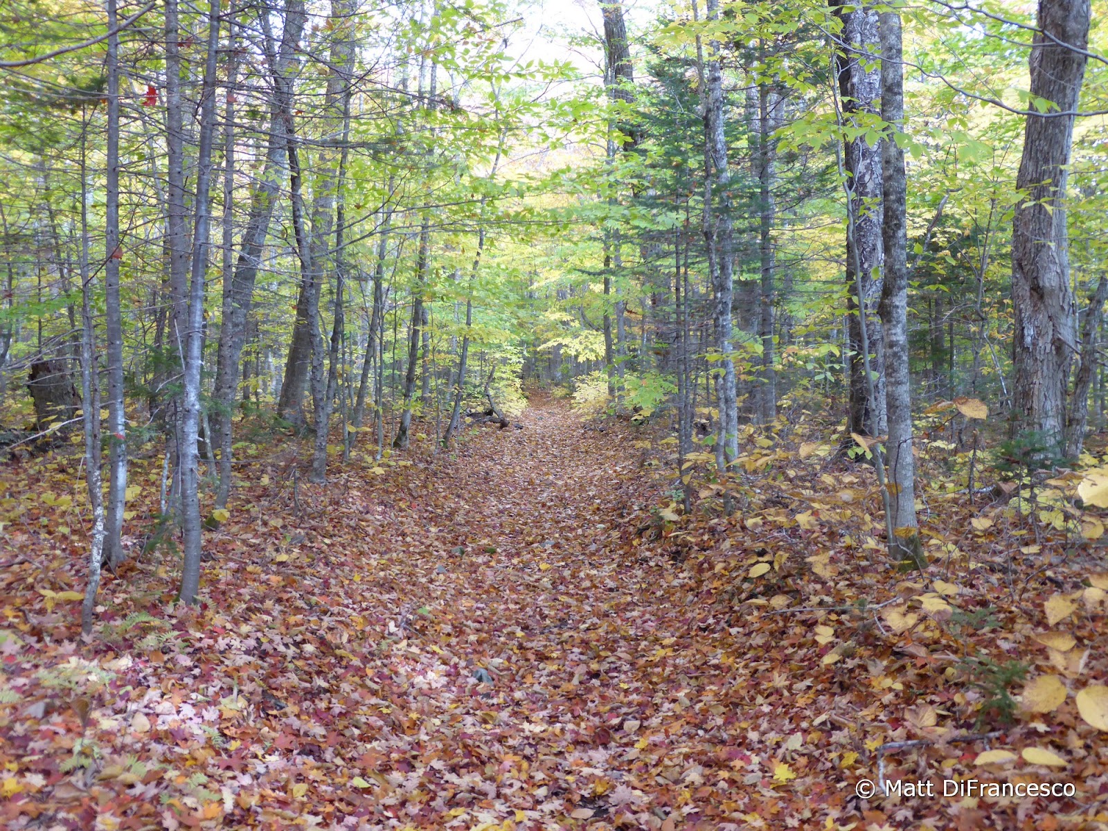
| Fall on the Carrigain Notch Trail |
 |
| Nearing the sub-ridge during the bushwhack |
 |
| Signal Ridge through the trees from the sub-ridge |
 |
| As we reach the talus field, a brief mini-snow squall passes overhead |
 |
| And as fast as it started, the squall ends. Views open up. |
 |
| We can almost see Mt. Tremont. And lots of yellow/orange leaves in the Sawyer River Valley. |
 |
| Mt. Tremont fully breaks free of the clouds. |
On the return trip, we followed the herd path down off the sub-ridge until it petered out (not far from where we hit it on the way up), but with peeks through the trees across the notch to Mt. Lowell, we used that as a guide to aim in the general direction we wanted to go. With a trail crossing through the entire notch, we were bound to find the trail even if it was in a different spot than we started. But as luck would have it, we found our way into the same old drainage that we ascended earlier in the day, and thus came out onto the trail in exactly the same spot we departed from. Then it was just a matter of a 3-ish mile hike back out to the waiting car. This bushwhack went extremely smoothly, the only surprise on the day was the brief mini-snow squall as we popped out onto the talus field during our ascent along the herd path.
 |
| Vose Spur summit cairn |
 |
| It still puzzles me why the chair. Though after climbing that steep hillside, it sounded good! |
 |
| Mt. Passaconaway |
 |
| Mt. Chocorua (L) and Paugus (R) |
 |
| Descending the talus field. This thing is really loose! |
 |
| No sign of life on Signal Ridge. |


The next morning, we woke, and despite expecting to run into some ice, we decided to still go for the slide route to Peak Above the Nubble. From the end of the extension of Gale River Road, we parked near the gate and headed off down the road. 1/2-mile later, we turned off at a cairn onto the herd path that leads to The Nubble, a magnificent peak perched above the town of Twin Mountain, with great views all around. There was a cloud deck obscuring the higher summits, but it was a nice stop-over. We dropped back down to the mini-col just below the summit, and headed along a light herd path in the general direction of the drainage that comes out of the slide we wanted to ascend. This path went through a campsite with several old moose antlers hanging on strings nearby, and then headed down to the stream. From prior research, I knew that people ascended in the woods along both sides of the slide, but I wanted to try the West side, which seemed to be a slightly lesser-used side but had promising-looking woods (both sides are reputed to have open woods for a while).
 |
| Along the road extension off Gale River Road |
 |
| Baby flume near a minor stream crossing. |
 |
| View towards our destination (in the cloud) from The Nubble. |
 |
| Views South/West from The Nubble. |
 |
| The Sugarloaves. |
 |
| "Do we dream our beliefs or believe our dreams?". |
 |
| "Destoryer, come out and PLAY!" Um, sure? |
 |
| Not sure I'd camp here... |
Crossing over the stream, we headed uphill, keeping the stream in earshot, but not getting too close as there are some steep walls alongside it. Our goal was to stick in the woods as long as they stayed open, before cutting into the slide for the final ascent to its top. From there we would have a short 1/10-mile bushwhack to the summit. As we climbed, we kept crossing over an old logging road, which was nicely paralleling the slide and so we followed it for a while. Eventually, just before 3000', the woods started to close in, and once they became thick, we cut into the slide, somewhere near 3100' in elevation. The actual drop into the slide was a little tricky, but we found a safe route. The microspikes went on immediately, as there was thin ice over most of the slide.
Ascending the slide was awesome, and the views opened up more and more as we ascended. The skies had started to clear, and while chilly, it wasn't all that windy, and we all greatly enjoyed the ascent. At the top of the slide, it forks and we took the left fork, then cut into the woods between the 2 forks when our side ended in a wall of giant boulders. Once we found a route through the first 100 feet of thick spruce, the woods opened up reasonably and we wandered our way over to the summit (which took a few minutes to find as the summit area is a bit flat).
 |
| This was clearly an old woods road in person (it's less obvious in the picture). It made for nice travel for a good while. |
 |
| A view as soon as we dropped into the slide. |
 |
| Time to go up! |
 |
| To the blue skies! |
 |
| Up, up, up we go. |
 |
| The views back were nice too. |
 |
| Rimey |
 |
| View to North Twin (R), and Hale (L) from near the summit of PAtN. |
 |
| The lumpy Mt. Hale. |
 |
| Mts Field (C) and Willey (R) peek out behind the Northern ridge of Mt. Hale. |
Reaching the summit, we found footprints in the fresh snow (1" or so fell overnight) coming up from the "normal" approach from FR304A, the way we went in 2013. Whoever it was had probably just left as we got there, so we signed the register, enjoyed the view just below the summit, and had some snacks. Descent was a matter of following our tracks back to the slide, then carefully descending the icy slide. We stuck in the slide until we reached a big, icy drop around 3000' in elevation, then cut back into the woods. Within a few yards, we were back on our tracks from the ascent, and soon found the old road that we followed most of the way back down to the herd path to The Nubble, before cutting back to said path, and heading back to the car and for home. This was a really fun approach to this peak, and The Nubble itself is worth a visit all by itself. And the best part is that that little peak is only a short 3-ish mile round-trip hike, with only a few hundred feet of elevation gain.
 |
| The boulder wall blocking us from going any higher on the slide. We cut into the woods from where this shot was taken. |
 |
| Now for a careful, but not too bad, descent back down the slide. |
 |
| And a return to fall, with many more leaves on the ground than only a few hours before. |