Every year, hikers sign up to carry American flags to each of New Hampshire's 4000-Footers and fly the flag on the Saturday closest to 9-11 in remembrance of the attacks on that day. This event, known as Flags on the 48, is an event I've participated in with a group from the Hike-NH hiking forum for 4 years now. In prior years we've manned North Twin, Flume, and Lafayette. For 2015, we drew West Bond, which is a terrific peak with great views, but it meant a long, 16.5-mile day in addition to being on the summit for 2.5 hours to fly the flag. As the weather has not been great for the previous 3 years we have done this event, we were hoping very hard that we would finally have nice weather.
Going into the hike, the weather forecast was looking good, with just enough wind to fly the flag, a decent bit of sun, and mild temperatures. Meeting early at the trailhead for the Zealand Trail, we set off for our out-and-back hike out to West Bond. The first 2.5 miles are flat and fairly good footing-wise, and so we made good time up to the base of the climb to Zealand Falls and the Zealand Falls Hut.
Tons of spiderwebs were glistening in the early-morning sun.
Zeacliff from the Zealand Trail beaver ponds
This tree was glistening with dew in the morning.
Zealand Falls
Marlie poses at Zealand Falls
After a quick break, we dug into the main climb of the day: getting up to Zeacliff above the hut. While fairly steep, this stretch has decent footing overall, and eventually our band of 7 reached the spur to the outlook at Zeacliff. This spot is not to be missed on a decent (or especially on a terrific day like we had at the moment), as it offers a tremendous view into Zealand Notch and the Eastern side of the Pemigewasset Wilderness. We took a nice break here before heading off to Zealand Mountain.
Dueling cameras at the Zeacliff overlook - Mt. Carrigain dominates the horizon in the center.
Mt. Bond from Zeacliff
Pano from Zeacliff
Carrigain and Carrigain Notch
The Osceola Range behind the Hancocks
Whitewall Mountain from Zeacliff
Welcome to Mt. Zealand. Here is your view of a sign.
Though no one in our group "needed" it, we all took the quick trip on the spur over to the unexciting summit of Zealand Mountain, before continuing on to Guyot. Crossing Guyot, we picked up the Bondcliff Trail, which we took as far as the West Bond Spur, reaching the summit of West Bond around 11:30, a perfect amount of time to get the flag up by noon.
Bond (L) and West Bond (R) from Guyot.
West Bond awaits.
Flagpole brigade
Slides on the side of South Twin
The lumpy Owl's Head, with Franconia Ridge in the background.
Lincoln and Lafayette - Franconia Ridge
Off to West Bond we go (on the right)
Spruce grouse in the woods en-route to West Bond
Once the flag was up, we all spread out and enjoyed the views, as the weather was perfect for lounging for a long time on a mountain top this day. The Bondcliff flag was up and visible by eye by the time we had reached the summit, and with the help of camera zoom lenses, we were able to eventually spot flags on most of the peaks ringing the Pemi. The flag atop Bond was a little delayed in rising, but it too was up and naturally was easily seen as we were less than 1 mile away. Many people stopped by, including the Guyot Campsite caretaker. We also enjoyed the company of Whitney and Chris, as they stopped by for a while and brought us some baked goods to munch on, yum!
Bondcliff and their flag flying nicely (and early)
South Twin. The flag is just left of center.
Mt. Garfield. The flag was flying, though it isn't really visible via my camera.
Mt. Lafayette, with the flag on the summit and a glider overhead.
Mt. Lincoln. You cna just barely make out the flag on the summit.
Mt. Liberty.
The Presidentials in the distance.
Team Hike-NH, 2015.
Bond and Bondcliff
The tower atop Mt. Carrigain. The flag is strapped to the left side of the tower.
Mt. Bond. Can you find the flag? ;)
Bondcliff again.
Guyot from West Bond
Once 2:00 was reached, we took down the flag, disassembled the pole (leave no trace!), and retraced our steps back out to the cars. The day concluded with a group meal at Black Mountain Burger in Lincoln before we all headed home (it was due to rain fairly heavily overnight and through much of Sunday, so no one was staying up to hike the next day). This is a terrific event, and every year we get tons of thank yous from everyone who sees the flags flying. But really, it is the least we can do, to fly a flag in remembrance. Our group will be back at it again next year. For more information about the memorial event, visit the Flags on the 48 website.
Heading down from West Bond
Climbing up to the Southern knob of Guyot
On the way out, we did not re-visit the summit of Zealand
Descending the short ladder section near the Zealand summit.
For the 3rd year in a row, I was able to join the group over at the Hike-NH.com forums for the annual Flags on the 48 event. This event started as a memorial in the days after September 11, 2001 (the date of the terrorist attacks on the Twin Towers and Pentagon), where a handful of hikers hiked up to Mount Liberty and flew a flag for a few hours in remembrance. This has since grown into an annual memorial event, where teams of hikers sign up to fly a flag on all 48 of New Hampshire's 4000-footers from 12-2. In 2012, our group manned North Twin, and last year we manned Mount Flume, but this year we had an above-treeline summit, Mount Lafayette.
The forecast was less than stellar, but our group of 7 met as planned, spotted a few cars at the Skookumchuck Trailhead, and then headed to the Cannon Mountain Tram Lot where we started out on the Greenleaf Trail. We used the same pole that I built for last year's event, which consists of lengths of alumimum pipe with sleeves and bolts at the joints, and once again Kris brought a 5'x8' flag, which is a great size for this purpose. With the wind whipping at the trailhead, we opted to leave 7 feet of the 28' pole behind, as we knew things would only be worse above treeline. We all grabbed a section of pole, and hit the trail, which starts near the bottom of the highway on-ramp across the parking lot.
The section of the Greenleaf Trail to the Greenleaf Hut was a new stretch for me, and it is definitely a lesser-traveled stretch of trail than the "highway" route involving the Old Bridle Path. The trail started off fairly flat, than climbed steadily though never all that steeply, up to Eagle Pass, which is a cool pass bordered by a rock slide on one side and a high, vertical ledge on the other. We only stopped here briefly, as it was chilly, and we still had a couple miles to go to the summit.
A short break as we climbed up the trail
Eagle Pass
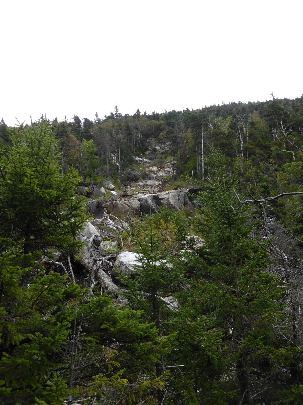
A slide on one side of Eagle Pass
Part of the crew, ready to leave the hut. So far, the summit is still in the clear.
Greenleaf Hut
Continuing the steady climb, we arrived at the Greenleaf Hut, where we took a short break inside out of the wind (except for poor Ian who had to wait outside and try to find somewhere out of the wind, as he had brought Marlie along). For the time being, the summit of Lafayette was still out of the clouds, but as we began the windy climb up to the top, the cloud deck lowered and just as we reached the top, all the views went away.
Truman (L) and Lincoln (R)
Moosilauke, the Kinsmans, and Cannon Mountain (L->R)
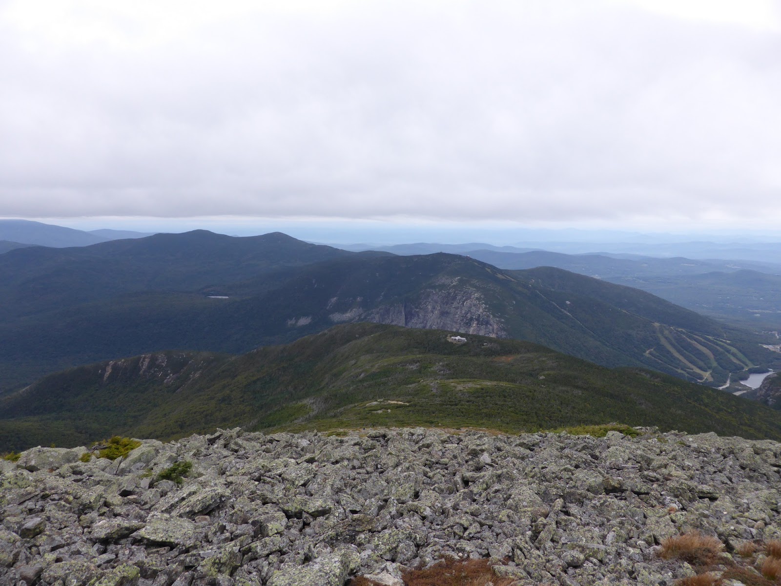
Greenleaf Hut in front of the cliffs of Cannon Mountain. I love how it doesn't seem like there is a >2000-foot notch between the two!
North Lincoln
The last of the views for the day...
With the wind howling, we set about assembling the pole (somewhat difficult when it is so cold!). We found a great slot between two ledges that the pole fit into beautifully, and with only one supporting rope, the pole was up, and set at 18.5 feet tall (minus the 3 feet or so that was in the rock). As we were preparing to lift the flag up the pole, a gentleman came by and asked if we would like a bugler. Not realizing he was serious, I joked that he could feel free to bugle with his lips. But he had a scout with him who had brought a bugle, so the scout played the bugle while we raised the flag, which was really awesome! We didn't so much raise the flag as let go of it, and it was at the top of the pole in about a second, flapping madly in the mid-30s mph winds and right at 12 as planned.
We secured things the best we could from there and hunkered in the old foundation on the summit, mostly out of the wind. The pole, while bouncing around a little, and flexing a little at the joints, held strong for the whole 2 hours, and the winds never even remotely died down. Neighboring peaks recorded 40-45mph winds with handheld wind devices, so we figure we saw roughly the same later on as well!
Kris and I hung out at the summit, while Ian, Spencer, Mike, Peter, and Derek headed over to Lincoln to see their flag and attempt to stay warm. With temperatures in the mid-30s, Kris and I had all of our layers on and were wishing we had brought another, but we stayed warm enough while taking pictures for hikers with the flags. The amusing part was all of the French Canadians out hiking that day that wanted their picture with an American Flag!
We did get a couple very short glimpses between cloud layers right before taking the flag down.
When the crew got back from Lincoln, it was almost 2, and so we got some group pictures taken, and then lowered the flag, which was rather tricky since we didn't rig a way to pull it down, and the wind sure wasn't about to let us! But with a little work, we got it down, then lowered the pole and packed everything up (leave no trace!). We opted to still descend via the Skookumchuck Trail despite the lack of any view potential, and actually ended up hiking in first a little frozen rain, and then a steady, though never heavy rain the whole way down.
Team Hike-NH
Retrieving the cars, we moved our planned tailgate to underneath the highway overpass at the Lafayette Place parking lot, which worked out terrifically though it was rather cold! The food was great just like last year, but broke up a little faster thanks to the cold. I was planing to camp for the night, but being cold and still a tad wet, I drove into Lincoln and found a vacancy at a motel, where I had a terrific night's sleep before a fun hike the next day!
We had a great crew this year, and despite the cold, wind, and damp conditions, we all worked together and successfully flew a flag. This event is all about memorializing the victims of that day, and more than a few people shook our hands and thanked us. For more information on the Flags on the 48 event, visit the website at http://flagsonthe48.org (also on Facebook as "Flags on the 48").