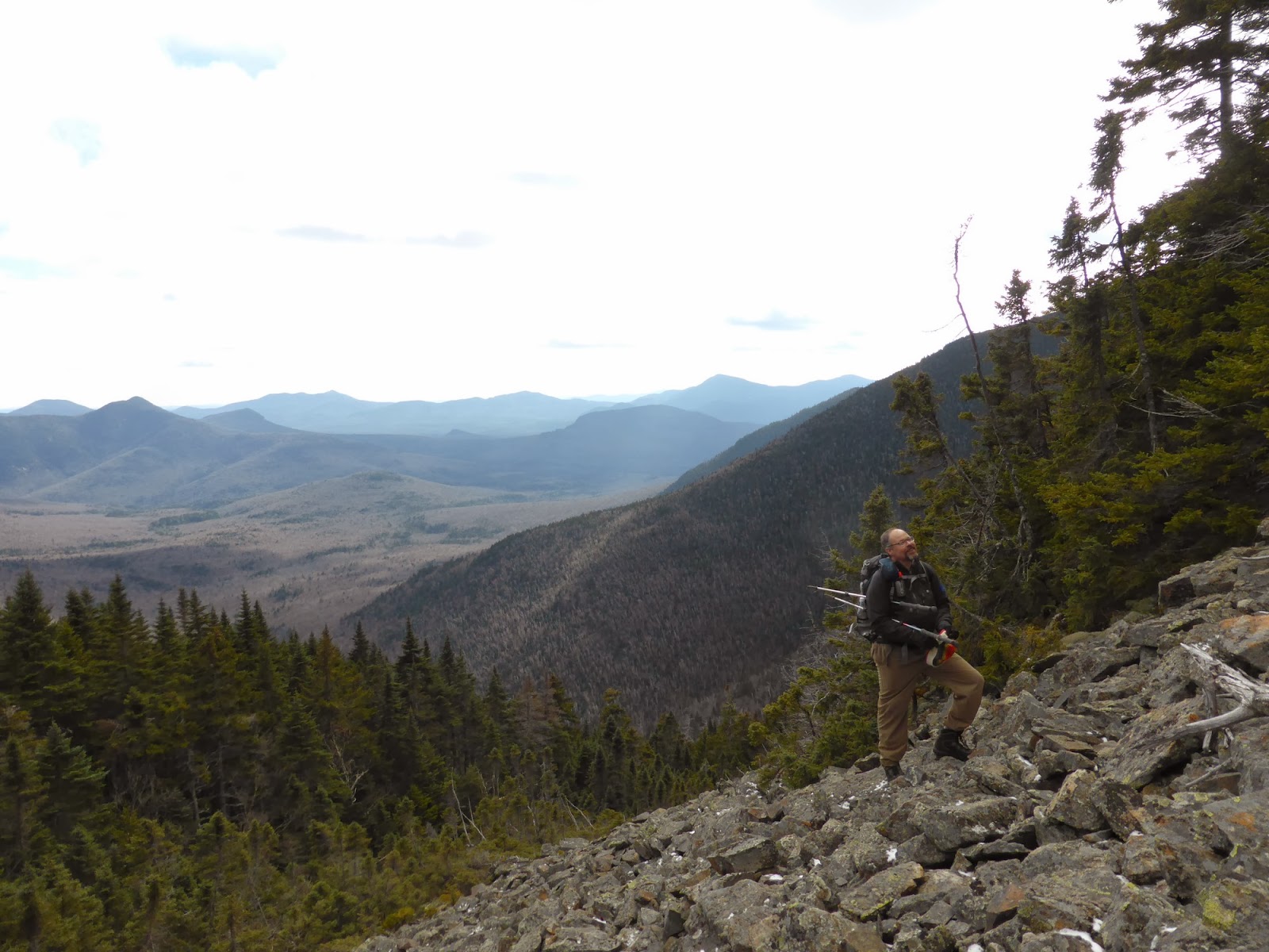
It turned out this weekend was going to be bushwhack weekend, which was OK for me because that's mostly what I have left on the New England 100 Highest list. Pam, Trey, and Philip stuck around overnight and the four of us tackled this peak on Sunday before heading home (we all needed it for our
New England 100 Highest Lists). Peak Above the Nubble is the unofficial name for this peak, which is merely denoted " 3813' " on topo maps. The unofficial name, though, comes from the fact that it lies on the ridgeline above a small but prominent peak called "The Nubble" (or sometimes "Haystack Mountain") in the town of Twin Mountain, on the side of North Twin Mountain.
There is no trail to this mountain, but 2 routes have evolved over time for peak baggers heading to this peak. One route heads up on some old logging roads and a herd path from the Gale River Road extension to The Nubble before bushwhacking to a slide that heads up to near the summit of Peak Above the Nubble (aka "PAtN", pronounced "patton" like the famous US general). This was initially our intended route as it promised some great views along the way, but it snowed overnight and we were concerned about ice on the slide as well. Thus, we took the alternate, and more common, route from Haystack Road.
We started by hiking along Forest Road 304A, which departs Haystack Road about 1.75 miles in from Route 3 and has 3 large boulders blocking its start (room for parking a couple cars if you park each other in). About 1/4 mile in, we hung a right just past a large hill sitting on the left onto an obscure logging road running up a minor ridge. The road was not terribly obvious at its start, and in fact we walked ~10-15 minutes past it before we realized we missed it, and we went back looking harder. Once on it though, the road is easy enough to follow into an old logging clear-cut, which is now overgrown with tons of saplings, but with all the other undergrowth mainly dead, it wasn't too bad to push through (and in fact someone has hacked a few saplings here and there to form a rough herd path through the clearing). I wouldn't want to go through here in summer though, I'd probably opt to skirt the clearing instead.
 |
| Heading off on Forest Road 304A |
 |
| Old birds nest along the old logging road |
 |
| Near the top of the overgrown clearcut, looking Northward |
From the upper end of the clearcut, we took a visual bearing to the slight col dead ahead (a false summit of PAtN was visible to the left, and a minor bump to the right - see the map at the end of this report for a visual aid) and climbed a couple hundred feet through mostly open woods (once leaving the fringes of the clearing) to the col. From there, we merely followed the ridgeline up, skirting a few thick spots, but largely finding easy woods up to the false summit 1/4 mile or so from the summit of PAtN. From there, an obvious (and apparently cut) herd path leads to the summit of PAtN, though there was a small ring of blowdowns to climb over near the summit.
 |
| Climbing through open woods up the ridgeline to PAtN |
 |
| Still mostly open woods |
 |
| Ice forming on the large rocks in the woods |
 |
| On the herd path along the upper ridge to PAtN |
The weather on this day was slightly threatening, though it was mostly clear below 4000 feet. The temperature was hovering around freezing all day, which led to wet snow and we actually donned the rain gear to push through some of the snow-covered trees in order to stay dry. I also found that my winter boots need to be waterproofed again, they soaked through after a few hours of hanging out in slushy snow.
The summit of PAtN offers a terrific viewpoint on a short herd path nearby; none of us expected this kind of view from a bushwhack summit!
 |
| Philip and Trey at the overlook near the summit of PAtN |
 |
| The Presidentials in the clouds |
 |
| A LONG, large, steep slide heading up North Twin Mountain. I believe this is the one known as the "checkmark slide". |
 |
| Hale (L) and North Twin (Rish) from Peak Above the Nubble |
 |
| Eisenhower briefly emerged from the clouds |
 |
| Pano from PAtN |
 |
| Us on Peak Above the Nubble (yes, a blowdown right by the summit.) |
Heading down was easy and much quicker, as we merely followed our footprints until about halfway down to the initial col we had climbed to (where the snow had melted away), from which point we kept heading to the col until we reached where we had come up in the morning (we could see the clearcut too) and from there it was easy to return. Just as we loaded up into the cars, it started lightly raining, nice timing!
This was a surprisingly nice, and pretty easy bushwhack/hike. Having all the leaves on the ground and the various undergrowth all dead made for easy navigation (we could see our destinations most of the day), and the woods were pretty open until the upper ridge (where there is the herd path). That said, I (and I think the rest of the group) want to return (yes, return to a bushwhack!), but this time taking the other side up the slide. Maybe next summer?
This was peak #85 on the New England 100 Highest List for me. 1 remains in New Hampshire (Scar Ridge - a bushwhack), 3 in Vermont (all 1/2-day trailed hikes), and the remaining 11 in Maine, 7 of which are bushwhacks. I hope to finish these off by the end of 2014!
NOTE: The herd path we followed along the ridge top comes up from the valley nearer the North Twin Trailhead (I think it leaves FR304A about a mile from Haystack Road and ascends PAtN from the E). The entire route was cut by someone without permission (it is National Forest land) and it widely felt to be a major erosion hazard as it ascends to the false summit of PAtN. The AMC 4000-Footer committee requests that people do not use that route to ascend to the ridge so as to avoid causing environmental damage. The route we took did not use this herd path to ascend to the ridge, though we did use the portion from the false summit to PAtN (really there is no other option save pushing through dense spruce), which is not really an erosion risk. The worst part of our route honestly was the short stretch getting through the clearcut. You can see from the pictures above that the woods up to near the false summit are nice and open anyway, and it was an easy route that I'd have no qualms about doing exactly the same again.
Summary:
Route: FR 304A, unknown logging road, bushwhack, herd path
Peaks: Peak Above the Nubble (PAtN) (3813', NEHH)
Mileage: ~4.5 miles (estimated)
Elevation Gain: ~2100'
Time Taken: 5hr 45min (we lost ~30 minutes when we missed the second logging road on the way in)