Tuesday, October 15, 2013

The 3 Carters - September 15, 2013

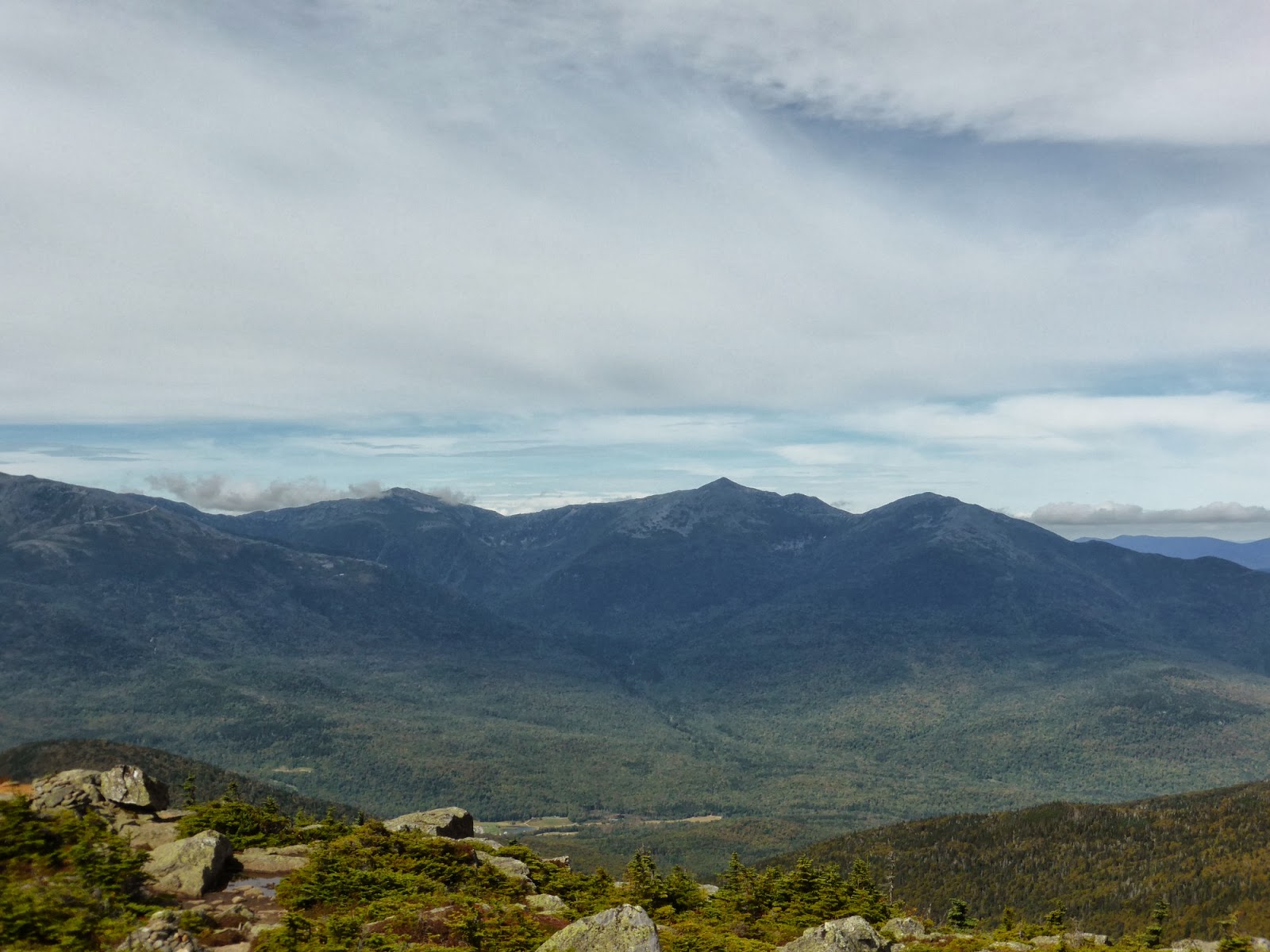
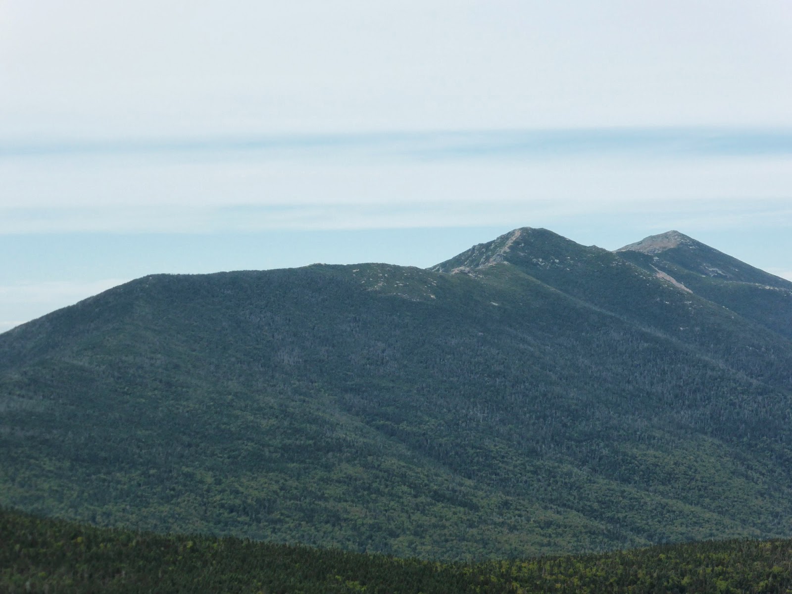
The weather for this hike was significantly better than the day before, where we were socked in all day. Instead it was to be clear blue skies for a trip to the Carter Range. Parking at the lot for the 19-Mile Brook Trail, I headed up said trail towards the hut. I made the decision early on that instead of taking the Carter Dome Trail up to Zeta Pass, I would continue all the way to Carter Notch and take the steep way up to the summit of Carter Dome, a route I've only done once before, on a hazy overcast day over 10 years ago. From there, the Carter-Moriah Trail would be followed over Mount Hight (not an official 4000-footer, but it has easily the best views on this range), South Carter, and Middle Carter, before a descent on the North Carter and Imp Trails

Some nice cascades along this trail, which as the name suggests, follows a brook

An old dam along the trail - a nice swimming spot on a hot day


Wildcat A towers over the Carter Lakes


Reaching the notch in terrific time, I took a breather before starting what I knew was going to be a tough climb. In 1.2 miles, the Carter-Moriah Trail ascends 1550 feet, and the upper portion is significantly less steep than the lower portion. Slow and steady is the key here, and in relatively good order I made it to the side trail (marked "view") to an overlook next to Pulpit Rock, which commands a great view of Carter Notch from above. I was also able to pick out the view ledge near the summit of Wildcat A from here, and spotted someone on said ledge taking pictures.

Taking a picture of someone on Wildcat A taking a picture

Carter Notch Hut far below next to the ramparts

Pulpit Rock

The Northern Presis from Pulpit Rock

Wildcat Mountain from Pulpit Rock
Continuing the ascent, I made it to the empty summit of Carter Dome. The climb, while stiff, didn't seem as bad as I remembered, though the previous climb on this route was with a full pack on a very humid day, so that may have had a lot to do with it. I spent a few moments poking around in the bushes around the summit clearing where the old fire tower used to be, not finding anything of note. The North-Western viewpoint was more overgrown than I remembered, but then again my last visit was in winter with several feet of snow on the ground. Nevertheless, my break was brief as I intended to make a longer stop at Mount Hight a short distance away, where I knew the view would be spectacular.

Carter Dome summit clearing


The bald summit of Mount Hight, as seen from Carter Dome

The walk over to Hight was uneventful aside from the massive mud bog in the col along the way, which required the use of a well-worn bypass through the woods. Once at Mount Hight, I had the desired 360-degree views. Making great time to this point (I had a bit of a deadline to be home by), I took a nice long break here. I did note that unfortunately the birch trees in the Wild River Valley were already all fully turned yellow, which means the hardwoods were not far behind. Since it was going to be a month before I could get up here for a hike again, it meant I would miss the peak foliage once again. Oh well, what can you do. Today was a beautiful day nonetheless, with views pretty much at their maximum.

Wild River Valley

South (L) and Middle (RC) Carter from Mount Hight


Jefferson (in clouds), Adams, and Madison

Glen Boulder Trail and the Gulf of Slides

The Eastern arm of Carter Dome into the Wild River Valley

The alpine shoulder on Carter Dome that the Rainbow Trail crosses

Washington and Jefferson from Hight


Eventually prying myself away, I continued on to South Carter, after the steep descent to Zeta Pass from Mount Hight. I found the "stick sign" in the summit clearing to the side of the trail, and checked out the small viewpoint nearby as well. You find something new every visit! It had been a pretty quiet day on the trails to this point, with only scattered encounters with people to this point. After leaving South Carter, I would see no fewer than 18 people before reaching Middle Carter, which was a surprising amount considering.


Hight (L) and Carter Dome (R) from South Carter viewpoint
The trek over to Middle Carter offers a couple nice viewpoints, which I made sure to fully enjoy, before making the summit itself, which is right alongside the trail and a couple small viewpoints again are nearby on short herd paths. Make sure to check these out, there are some unique views from some of these spots.

Hiking towards Middle Carter

Summit of Middle Carter

Wild River Valley from Middle Carter

The Baldface Range

Shelburne Moriah - need to explore that ledgy goodness one of these days!
I had originally contemplated doing the short bushwhack to Mount Lethe (on the Trailwright's list, not that I am working on that list), but my time was starting to get short, and I didn't find a particularly encouraging point to enter the woods, so I left that one for another day. The boardwalk section on the way there though, was awesome as always. The steep, wet descent on the North Carter Trail went by without incident, as did the descent on the South side of the Imp Loop. About 3/4-mile from the trailhead, I hung a left on an old logging road that crosses the trail (you cannot miss it!) and followed that into the back of Camp Dodge, and once walking down the access road to the highway, I had a short ~3/10-mile walk back to my car. All told, a beautiful day in the woods, and I made it out a bit earlier than expected thanks to a fairly quick descent.

Boardwalk section North of Middle Carter on the Carter-Moriah Trail
Summary:
Route: 19-Mile Brook Trail, Carter-Moriah Trail, North Carter Trail, Imp Loop (South end), logging road, roadwalk
Peaks: Carter Dome (4832', NH4K), Mount Hight (4675', TW72), South Carter (4430', NH4K), Middle Carter (4610', NH4K)
Mileage: 13 miles
Elevation Gain: 4650'
Book Time: 8hr 50min (actual 7hr 50min)


Monday, October 14, 2013

Flags on the 48 2013 - Flume (and Liberty) - September 14, 2013

Just like in 2012, a Hike-NH group was put together for the annual Flags on the 48 event (click the link to read more about this awesome event. The short summary is that every year near September 11, hikers sign up to hike to each of New Hampshire's 48 4000-footers and fly American Flags for a couple hours in rememberance of the events of that day). With only myself and Krpayer re-upping for this year, it was another great chance to see a few familiar faces and meet a bunch of new folks we interact with frequently on the forums. All told, we had a group of 11 (I'm using forum handles here): myself, krpayer, GraniteGuy, hiker 0200, theGibba, IQuest (and his pup Marlie), NH_Flyer, Cdailley (Chris Dailey, who keeps an awesome blog of his own), Petch, and Beckie & Prema (who is in fact 2 people). Krpayer once again brought his 5'x8' flag, and this year I brought the flag pole, an aluminum one I'd made up from a bunch of scrap I got my hands on. This year we were determined to fly that flag properly!

Originally the group had all decided to do a traverse, climbing up the Flume Slide Trail and descending the Osseo Trail, but a couple days of heavy rains right before the event caused us to take the safer option of a simple out-and-back on the Osseo Trail, so as to avoid the wet slabs of the steep Flume Slide Trail. Setting off before 7:30 on the Lincoln Woods Trail, we all made great time up to the Osseo Trail junction, and really made quick work of the climb too. I'd been down this trail twice, both times at the tail end of a single-day Franconia Ridge traverse, but I'd never ascended it. The end verdict is that it was an easy climb too, and the fact that our group made the summit in barely over 3 hours (5.6 miles, 3150ft climb) backs that up.

The Pemi River flowing well this morning

Climbing the ladder section on the Osseo Trail

Not much to see from the "downlook" on the Osseo Trail today

Approaching the summit of Flume

We immediately got to work on setting up the flagpole, which consisted of 3.5-foot long sections of aluminum pipe with tight-fitting sleeves inside at the joints. A pair of simple bolts at each junction held it all in place. This pole sets up before the flag, and an eyebolt at the top is used to raise the flag like a normal flagpole, which enables easier raising of the pole without the giant flag catching the breeze and tugging it over. That, of course, was not a huge issue this year, as the breeze was fairly light. Nevertheless, the pole set up beautifully, and then we raised the flag. This year we set up 18.5 feet of flagpole, and the flag was flying by 11, well ahead of schedule (nominally the flags fly from 12-2PM). The wind was also perfect this year, just enough to fly the flag most of the time it was up, but not excessive like last year.

The flag is, well, flying

There's some breeze, just in time!

A brief tease of blue skies, which immediately went away until late evening.


Team Hike-NH (minus Beckie and Prema)
Beckie and Prema, who had urged us to go ahead without them as they were slower hikers, made the summit shortly after the flag was up (and I might add, for all their concerns, they made it up in book time!). After a little while, about half of the group headed over to Liberty for a quick visit, where we found their summit even more socked in that ours. We didn't hang around long, but returned to our flag shortly before it was time to take it down.

Liberty's flag

Well done by the scout troop manning this peak
When 2PM passed, we took down the flag and headed back to the parking lot, where many people had brought food for what turned into an awesome tailgate! So much good food, drink (responsibly of course) and conversation was had! A few other Hike-NHers also stopped by for a few minutes to help us eat some of the food, and to converse. It was a great day all around. We may not have gotten any views, but we hiked for a great cause, honored those who lost their lives during the terrible events on September 9, 2001, and had a good time amongst each other. I'm sure we'll get a group together again for next year!

Summary:
Route: Lincoln Woods Trail, Osseo Trail, Franconia Ridge Trail (out-and-back to Liberty)
Peaks: Flume (4328', NH4K), Liberty (4459', NH4K)
Mileage: 13.4 miles
Elevation Gain: 4150'
Book Time: 8hr 45min

Hiking out on the Lincoln Woods Trail (part of which has had the railroad ties buried, woohoo!)


Wednesday, October 9, 2013

Franconia Ridge Traverse - August 18, 2013

Wrapping up a beautiful weekend in the White Mountains, I naturally was thrilled to be hiking Franconia Ridge, home of some of the best ridge hiking in the area. Of course, the weathermen missed a bit on the forecast, as we didn't get the clear blue skies that were forecast, but it was still a terrific time. Theresa had posted this hike on Friday, and I was the only one who signed up. Meeting bright and early at Lincoln Woods, we saw one of Theresa's hiking friends in the parking lot getting set to embark on a Pemi Loop with his dog (we would see them again about 10 hours later as they neared the end of their loop!). Leaving my car, we took off up the notch to the Skookumchuck Trailhead, our starting point for the day. This was a trail on my to-do list, and getting to combo it with one of my favorite hikes, a full traverse of Franconia Ridge, was awesome.

The Skookumchuck Trail was a pleasant trail, with a steady, never steep, grade all the way up, and terrific footing the whole way. The trail work was great, with great rock staircases installed and not a blowdown to be seen on this lightly-traveled trail. We cruised right up it and soon met the Garfield Ridge Trail North of Lafayette, where the fun ridge-walking was to start.

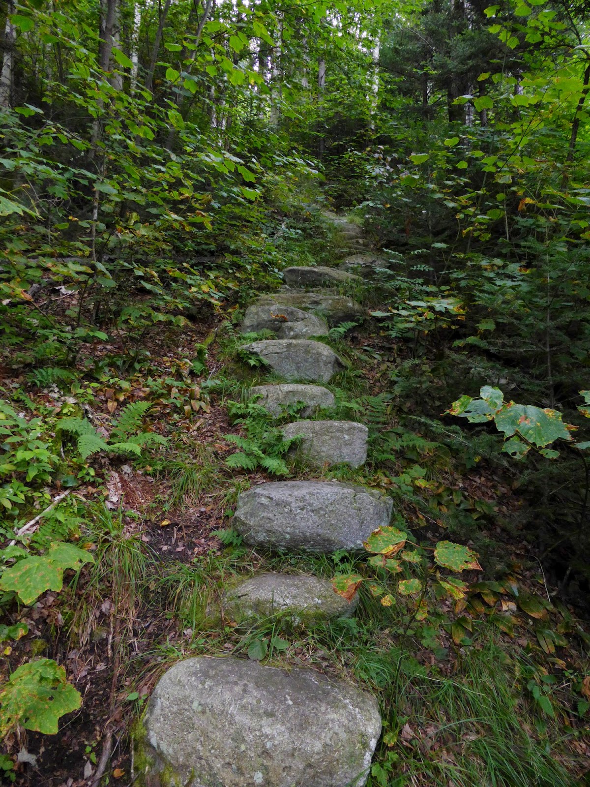
Nice trail work on the Skookumchuck Trail

Looking to the North as we climbed the Northern side of Lafayette


The summit of Lafayette ahead

Cannon Mountain across the notch

People on the summit - most left before we got there though
I had last been on the North side of Lafayette in 2000, during my first trip to the White Mountains, and I had forgotten how awesome it was. Summitting Lafayette, we were clearly ahead of the bulk of the crowds, and despite the overcast skies, we thoroughly enjoyed the views we had. An added bonus was running into Scott, of 2 Brother's Hikes, who was up for a single-day traverse of the ridge himself. His plan had been to descend via Flume Slide Trail (?!?!?!) and walk the bike path back to his car at the Old Bridle Path lot, but we invited him to head to Lincoln Woods with us, and he accepted. The three of us had a great hike the rest of the day.

Franconia Ridge heading South

Mount Lincoln

The gliders were flying over the ridge today, which was very cool!

Lafayette from Lincoln
Still moving right along, we worked our way over Truman (a bump on the way to Lincoln), Lincoln, and then to Little Haystack Mountain, still seeing fairly few people considering how popular the ridge is on the weekend. It may have helped that we were there before noon, I am sure it was mobbed shortly after we departed for Liberty. The 2 miles from Little Haystack to Liberty is not some people's favorite stretch of trail, but I personally think it is a pleasant stretch once down the scrambles off Little Haystack. Soon enough we made it to the awesome cliffy summit of Liberty.

The "Knife Edge" to Little Haystack Mountain

Descending a scramble


Looking back to Lincoln


Flume (L) and Liberty (R) from Little Haystack Mountain

The summit of Liberty
We enjoyed a brief break on Liberty before heading over to Flume, the part I consider the hardest part of the single-day traverse as you have a significant drop and gain of elevation in the 1.2-mile stretch (roughly a 550 foot climb to Flume once you drop nearly 650 feet). We made quick work of it though, reaching the Flume in good order for our last major views of the day. I love Flume's summit, and twice have seen ravens dropping from its cliffs before, though today was not such a day.

The cliffs just below the summit of Flume

Looking back at where we'd been

Still some folks on Liberty

All that was left now was the 5.5-mile hike out on the Osseo and Lincoln Woods Trails, which is a fairly mild descent route (especially when you get lower down where the lower 2.5 miles is pretty flat on old railroad and logging grades). Low on the Osseo Trail is where we were overtaken by Theresa's friend and his dog, on their way to finishing their Pemi Loop in roughly 10 hours, well done guys! Making it to the lot, we piled into my car and dropped Scott off at his car before retrieving Theresa's, and the 3 of us grabbed some dinner at the Mad River Tavern in Campton on our way to our homes to the South. Perfect end to a great weekend in New Hampshire.

Bonds from the Osseo Trail "downlook"

The vast Western side of the Pemi Wilderness from the Osseo Trail "downlook"
Summary:
Route: Skookumchuck Trail, Franconia Ridge Trail, Osseo Trail, Lincoln Woods Trail
Peaks: Lafayette (5260', NH4K), Truman (5000', TW72), Lincoln (5089', NH4K), Little Haystack (4760', TW72), Liberty (4459', NH4K), Flume (4328', NH4K)
Mileage: 15.6 miles
Elevation Gain: 5000ft
Book Time: 10hr 20min (actual 10hr 20min)