In Vermont for the 4-day Independence Day weekend, Camel's Hump was on my agenda for Friday. I would be flying solo on this one, making it even harder to get up in the morning facing a somewhat lengthy drive from the campsite I had reserved (reserving only 2 weeks out does not give one too many options closer to things!). Still, I managed to get on-trail from the Eastern Trailhead around 9:30. The plan was a "simple" loop: up the Monroe Trail to the Dean Trail, to the Long Trail, and on to the summit. The Monroe Trail would be my descent route.
Just before leaving my car it started raining steadily, but this only lasted a few minutes. By the time I hit the trail, it was mostly over, but I decided to hedge my bets against good old Murphy's Law and throw the pack cover on first. That worked, it didn't rain until 5:30 or so, when I was back in camp!
The day was another hot and humid one, and I wasn't feeling great. Shoveling a bunch of food down helped some, but this just was one of those days where climbing was going to be tough. Perhaps that colored my view of the trails, but looking back in hindsight, the Day Hiker's Guide to Vermont does say that this ascent route is a tough one.
It starts out innocently enough: the Monroe Trail is a gentle climb with good footing, though everything was damp from rain. Hitting the Dean Trail, it started to get "interesting". Interestingly, the spur trail to the Hump Brook Campsite a short distance down the Dean Trail was under 6+ inches of water. Hmmm. From there there were a series of serious mudpits, intermixed with sections of steeper trail where the water was pouring down the trail. Some of these mudpits did not have bridges or stepping stones through them, and one I probed was a minimum of 12" deep. There were a few nice views up to the summit above, however, though unfortunately there was a solid cloud layer above still.
 |
| Bog/pond along the Dean Trail |
After a stiff climb to the Long Trail junction, the fun was just beginning! This section of the long trail has lots of sloping slabs with occasional peeks of views to the surrounding area. Being wet, the slabs were quite slippery and my Vasque Breeze day hiking boots don't grip terribly well on such conditions, so it was a slow climb, but I can see where in dry weather this could be a wonderful stretch of trail.
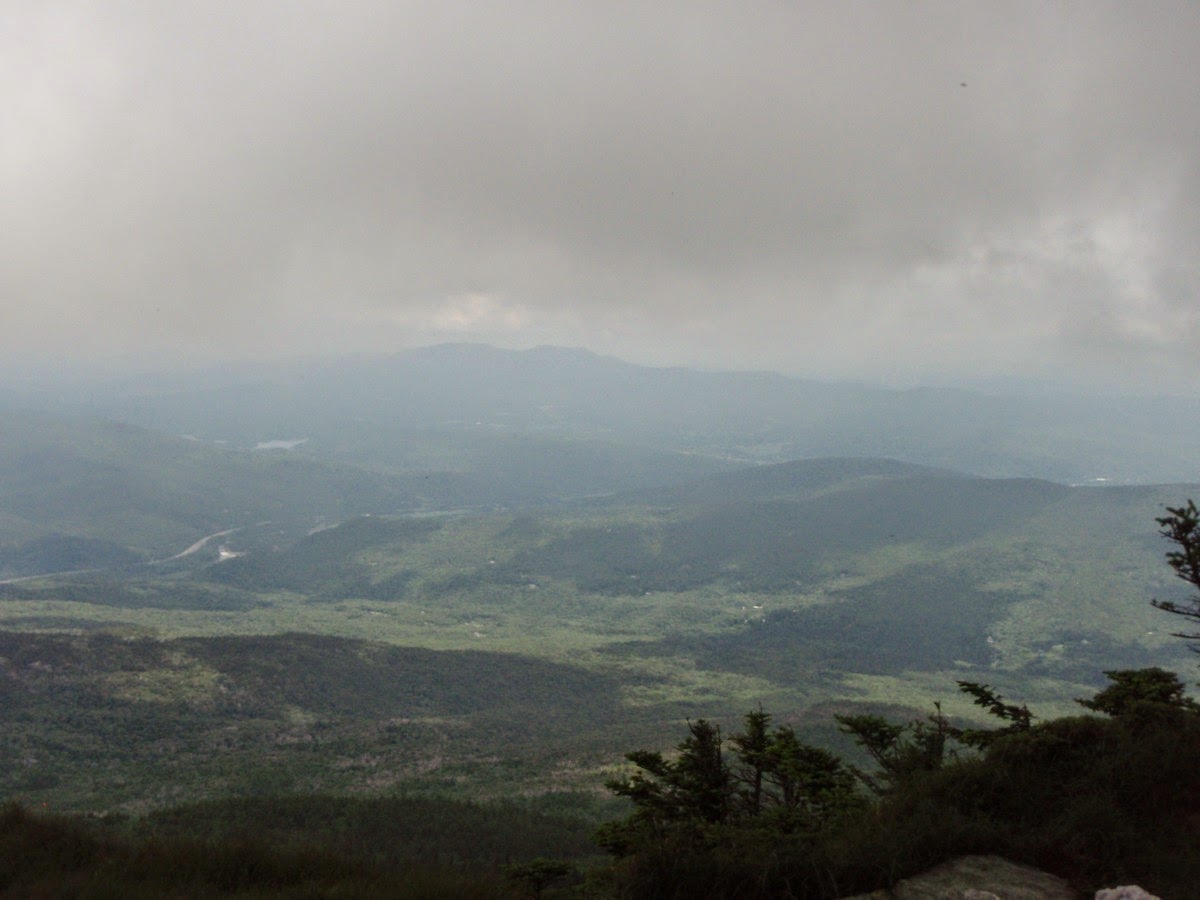
Eventually the trail breaks above treeline for the final climb to the open, rocky summit area, the only undeveloped 4000-footer in the State of Vermont. The views, while said to be outstanding, were pretty limited thanks to a cloud deck right near the summit elevation. But the potential was definitely there, and I can't wait to return to this peak on a clear day (perhaps even this winter)!
 |
| View from the Long Trail during the ascent |
 |
| Camel's Hump summit above |
 |
| The Long Trail skirts this cliff to climb towards the summit - this was also the most blue sky I saw this entire hike |
 |
| Climbing higher to near the cloud deck... |
 |
| Final scrambles to the summit |
 |
| I love these open alpine summits - great view potential on a clear day |
 |
| Peek below from the cloud deck at the summit of Camel's Hump |
 |
| Camel's Hump summit marker |
 |
| Cloudy, hazy views today |
I hung out at the summit for a while, hoping for the clouds to burn off. They did lift a little, resulting in most of the pictures you see above. While I was there, there was a steady stream of hikers coming and going, there were probably 2 dozen people there at any given time, but the summit had lots of room for people to spread out. But stay on the rocks! Vermont is very serious about protecting their 3 alpine summits (Camel's Hump, Abraham, and Mansfield), and in fact there is a "summit caretaker" stationed at these 3 summits all day during the summer season. Aside from discussing the area, hiking suggestions, and education on the alpine vegetation, they ensure that people stay on the trails, or at least on the rocks to protect the plants. Actually, a great idea, as I've seen first hand what mere signs do to prevent people from trampling these delicate plants in many places in the White Mountains of New Hampshire...
After a while, I decided to head down. The descent was uneventful, and in fact I saw evidence that the Monroe Trail gets much more maintenance than the Dean Trail I came up earlier in the day. There were tons of waterbars where needed to divert water off the trail, and in fact I saw a couple of freshly dug ones (and later saw the GMC workers responsible for these improvements). I made my way down with ease, enjoying the easy grades and good footing. Back at the car, it was off to get some dinner and relax at the campsite before the next 2 days of hiking. A nice change from the usual routine of driving home after day 2 of hiking!
This is definitely one to return to, however. I want to see what I missed!
 |
| Cascade along the Monroe Trail |
Summary:
Route: Monroe Trail, Dean Trail, Long Trail (up); Monroe Trail (down)
Peaks: Camel's Hump (4083', NE4K)
Mileage: 7.5 miles
Elevation Gain: 2600ft
Book Time: 5 hours
 |
| Bottom leg is the Dean Trail, the Long Trail forming the left side of the route. Monroe Trail goes from the right top left to the parking lot. |


No comments:
Post a Comment