As the end of the year drew closer, there were 3 4000-footers in New Hampshire that I had yet to hike in 2013. The Tripyramids (North and Middle) were 2 of those (I had hiked them on Dec. 30, 2012) and so when I was invited along on a hike including those 2 peaks, I jumped at the opportunity. This hike was also going to include East (and West) Sleeper, which is a peak on the
New England 100 Highest List. I had previously visited this trailed, but viewless, peak, however, East Sleeper was to be the final peak on the list for
Scott Disnard, and so for my second trip in a row I'd be present at someone's finishing peak.
Our large group met in the morning at the trailhead for the Downe's Brook Trail, where we left a couple cars there and headed over to the Pine Bend Brook Trailhead. We made good time up to the top of the ridge, where a couple of us spent a few minutes clearing out a blowdown mess that obscured the trail while the rest of the group caught up a couple minutes later. From there it was time for the occasionally tricky (especially with hidden ice here and there - some folks put on microspikes here because of it) climb to North Tripyramid. This was my 4th time on the summit, but I believe the first where I actually went to the NorthEast viewpoint near the summit area.
 |
| A quick break down low |
 |
| Doing some blowdown maintenance |
 |
| Before we did this, there was a wall of spruce here! |
 |
| The final steep climb to North Tripyramid |
 |
| Mount Carrigain from near the summit of North Tripyramid |
 |
| Nice view from the NorthEast viewpoint on North Tripyramid |
 |
| The Eastern end of the Sandwich Range towards Mount Chocorua |
 |
| Mount Chocorua from North Tripyramid |
A short break later, and it was time for the jaunt over to Middle Tripyramid, where we stopped long enough to snap a couple pictures and immediately head off to South Tripyramid, a short distance away (it does not have enough prominence from Middle Tripyramid to count on the 4000-footer list). There we descended a short distance on the South Slide, before dodging into the woods onto the Kate Sleeper Trail. (Note: this trail turnoff is very easy to miss. The sign is small and on the opposite edge of the woods from the normal route down the slide and it is not hard to pass right on by it!)
 |
| Waterville Valley - Mount Tecumseh (L) and the Osceolas (Main and East peaks L->R) |
 |
| Passaconaway (the pointy one on the right-center) and Whiteface (far R) |
 |
| The double-peaked top of Sandwich Dome, another New England 100-Highest Peak (3980') |
 |
| Descending the South Slide (carefully!) |
 |
| Last peak at Mount Tecumseh from the Kate Sleeper Trail |
The Kate Sleeper Trail, after briefly cutting into the woods alongside the main South Tripyramid slide, then drops 100 feet or so down a parallel slide before entering the woods for good. From there, the Kate Sleeper Trail is a pleasant walk in the woods, with gentle grades. It soon climbs to just a few yards from the summit of West Sleeper (unmarked, but a few herd paths meander over to a clearing where the likely summit is) and then drops before climbing up to the spur trail to East Sleeper. A short jaunt on the spur trail, and we were at the summit (marked by a sign). A couple people had brought up champagne, beer, cookies, cheese and crackers, and so we had a nice mini celebration.
 |
| Easy walking on the Kate Sleeper Trail |
 |
| A blowdown blocked the spur trail to East Sleeper... |
 |
| Scott on East Sleeper |
 |
| Celebration time! Congrats Scott! |
 |
| The whole group on East Sleeper |
After packing everything up, we headed off for the final ~6 mile leg of the hike. The first mile took us through a stretch of forest that was completely leveled by Hurricane Sandy in 2012. Essentially the whole section of woods was knocked over on its side, and a huge amount of work was done by volunteers and various trail maintenance groups to clear it again, all with hand tools only (it is in a Wilderness Zone, so power tools are not permitted). Thanks again to everyone that worked on this stretch so we can enjoy it!
 |
| What a mess this must have been! |
 |
| A whole section of woods alongside the trail on its side |
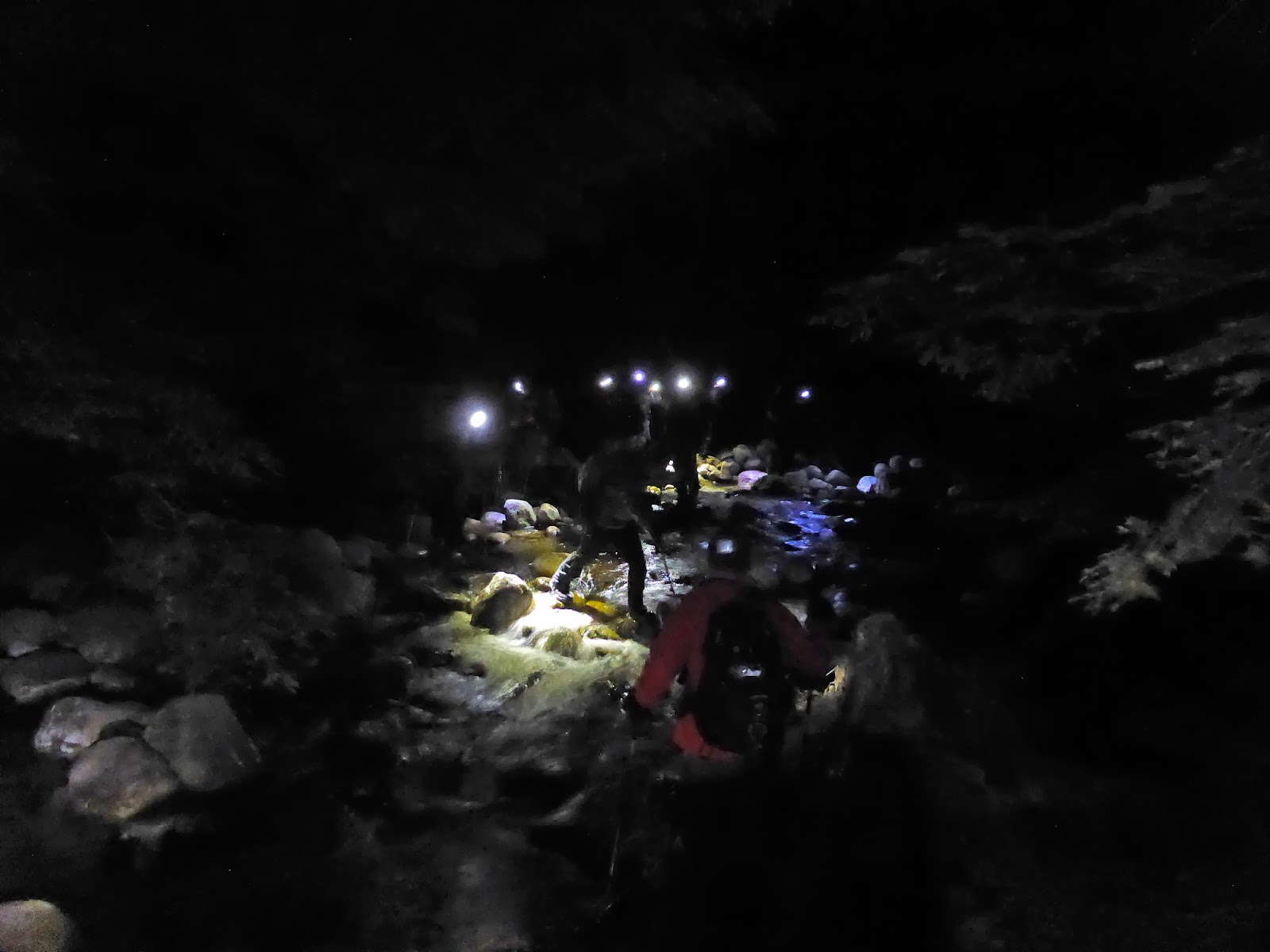
But thanks to the effort of many, only a few inconsequential blowdowns were on the trail, and we were able to get through without any trouble. Then we just had the long descent on the Downe's Brook Trail. The first part of this trail is harmless enough, if a bit rough underfoot in places. But about halfway down, the stream crossings pick up in earnest, and we also ran out of daylight. The crossings (of which there are 10 major ones) were wide, fast, and littered with ice-glazed rocks. There also weren't many options for crossing locations, and it took a while to get the whole group across each one safely, especially with the last 6-7 coming after dark. In fact, someone did slip into the water, but luckily on the lat crossing which is just over 1/4-mile from the parking lot, and so we were able to get him to a warm car quickly. It took us over 3.5 hours to pick our way down the 5 miles of this trail!
 |
| The one picture taken during the descent - and assisted in Photoshop a little. Crossing one of the wide crossings of Downe's Brook (the group was all at least half-way across). |
|
|
Once again, a hearty congratulations to Scott for finishing the New England 100-Highest list!
Summary:
Route: Pine Bend Brook Trail, Mount Tripyramid Trail, Kate Sleeper Trail, East Sleeper Spur, Downe's Brook Trail
Peaks: North Tripyramid (4180', NH4K), Middle Tripyramid (4140', NH4K), South Tripyramid (4090', TW72), West Sleeper (3881'), East Sleeper (3860', NEHH)
Mileage: 13.25 miles
Elevation Gain: 4000'
Book Time: 8hr 40min (actual 11 hours)


No comments:
Post a Comment