Sometime around Thanksgiving I was invited along on an AMC hike to Owl's Head being led by Pam, whom I've hiked with a number of times in the past. I didn't have plans to hike Owl's Head this winter, but the beauty of not working on any specific list means that I can float from hike to hike with various folks, and it looked like a good group was assembling so along I came. Plus, I was being asked along since I've done the winter bushwhacks to Owl's Head before (from Black Pond which avoids a couple tough water crossings, and then another one - the Brutus Bushwhack - which avoids the steep, loose slide on the traditional path up the mountain).
With frigid morning temperatures predicted (one source was calling for -18F at the trailhead in the morning), we moved the meeting time back an hour to 7AM when the sun would be just about rising. With 6" of new snow the night before, snowshoes went on at the parking lot and would not come off until the same spot over 12 hours later. The bright side was that the temperature according to the thermometer at the ranger station was a much more moderate -10F, haha!
 |
| Sorry its a little blurry. But this is the thermometer as we started hiking. Brrr! |
We made good time on the first 2.8-mile warmup on the Lincoln Woods Trail, which had a couple inches of light fluffy snow on top of an old base, and so the walking was pretty easy. The Black Pond Trail had an old snowshoe trough and posed no issues either, and we reached Black Pond, and the start of bushwhack #1, in good order. Also, with clear skies, the sun was fast warming things up, as the forecasts had predicted.
 |
| Part of the Bondcliff Ridge as seen from Black Pond |
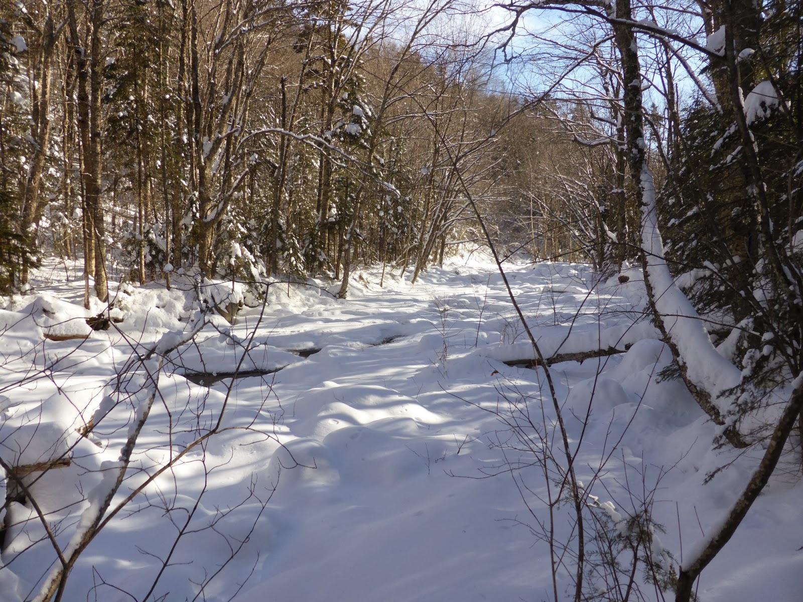
Here I was quickly put in the front to guide us on the bushwhack to the Lincoln Brook Trail, which cuts off about 3/4 of a mile and more importantly 2 very tough stream crossings. We started off following an old snowshoe trough which immediately began to climb a little bit, which is a bit non-standard for the winter route here. Soon, we decided this was no good, and diverged from the old trough and began to slab roughly on contour through open woods. While we were breaking trail, it wasn't terribly deep (maybe 8" of light fluffy snow), and we pretty quickly popped out onto the Lincoln Brook Trail right at the second crossing as usual. Banging a left, it was now about 2 miles of light trail-breaking (the same ~6") to the start of the Brutus Bushwhack.
 |
| Starting up the Lincoln Brook Trail |
 |
| Snow-covered Lincoln Brook |
 |
| This is actually the wide, fast-flowing Lincoln Brook! |
 |
| Sun, soft snow, just a beautiful day in the woods |
I had been curious to see what these stream crossings looked like when bridged, since my only prior winter trip had been a few days after a heavy rain which blew out all the bridges. Well, the stream was almost totally bridged along its whole length, so bridged in fact that the first crossing (which is actually a feeder stream) was barely recognizable as a stream crossing. The next 2 crossings were the same, which was nice since for once crossing these stream crossings was a non-issue!
 |
| Crossing #2 - Liberty Brook |
 |
| Crossing #3, and the final one - the main Lincoln Brook |
Maybe 100 yards after the final (3rd) crossing we came to the start of the Brutus Bushwhack. We cut up through the woods and using my GPS track from last year we got onto the skidder road (instead of missing it like we did last winter...). The skidder road took us up into a birch-lined gulley, which we followed uphill a short ways before starting to cut over towards the Owl's Head Path. This is where things started going badly (actually it started in the gulley). With no recent traffic, the snow was unconsolidated, and there was anywhere from 1-3 feet (typically about 1.5 feet) of loose, light snow, which meant that we were slipping and sliding all over. After what seemed like forever we got up to flatter ground, but we were now too high for the traditional route over to the Owl's Head Path. Still, we made it, with a couple of false routes (one involving finding a cliff that we had to navigate around), over to the Owl's Head Path about 1/10-mile above the "big rock" that is the normal target of the end of the bushwhack. During the cut-over, my GPS lost its mind for a few minutes, deciding that we did a roughly 1/10-mile diameter circle (we didn't, and knowing where we were we continued on our way). Also in the midst of this a solo hiker, who had never climbed Owl's Head before, caught up to us and assisted with the trail breaking. Thanks Roger!
Now on a regular trail (even if it is unofficial), we made better time though the ridge seemed like it would never come. But come it did, then there were the several false summits before the final, true summit of this mountain. We took a short break at the summit, but with it getting late, we wanted to be down off the Brutus Bushwhack before dark, though none of us were looking forward to the descend into and along the gulley. Roger left ahead of us, best of luck finishing your 4000-Footers!
 |
| Owl's Head summit cairn |
 |
| Snack time |
 |
| Owl's Hat on Owl's Head! |
Though tricky in several spots due to the non-grippy snow, we all made it down off the mountain in one piece, and before dark. A short stop at the second stream crossing to get a few liters of water for those that needed it (after chipping a hole in the ice), and we steadily made our way back along our tracks from the morning, under headlamp. Around a quarter to 8, we made it to the parking lot safe and sound, but all of us were wiped! Always an adventure, Owl's Head is, but we conquered it, and aside from the actual climb up the mountain, the hike was pretty easy with nice snowshoeing conditions. Unfortunately, another round of rain came only 2 days later, and the nice snow bridges over the streams are likely gone now... Still, congrats to everyone who got winter checkmarks on this challenging peak!
Summary:
Route: Lincoln Woods Trail, Black Pond Trail, Black Pond Bushwhack, Lincoln Brook Trail, Brutus Bushwhack, Owl's Head Path
Peaks: Owl's Head (4025', NH4K)
Mileage: ~17 miles
Elevation Gain: ~3100 feet
Book Time: 10 hours (actual of 12hr 15min)
 |
| Ignore the random large down-spike in the elevation profile during the ascent, my GPS lost its mind for a few minutes... |


No comments:
Post a Comment