Route: Mount Cube Trail, Mount Cube Side Trail (hike 1); road walk, Town Line Trail, Wachipauka Pond Trail (hike 2)
Peaks: Mount Cube (North and South peaks) (2909', 52WAV)
Mileage: 7.4 miles (hike 1) + 7.6 miles (hike 2) = 15 miles total
Elevation Gain: 2250 feet (hike 1) + 1050 feet (hike 2) = 3300 feet total
Book Time: 4hr 50min (hike 1) + 4hr 20min (hike 2) = 9hr 10min total (4.5hr and 4hr taken)
It's thru-hiker season in the Whites, that time of year when the bulk of those doing full thru-hikes of the Appalachian Trail, whether North-bound (~90% of all thru-hikers) or South-bound, pour through the White Mountains of New Hampshire. My friend Whitney (trail name of Tip-Toe) is thru-hiking this year, and so
Chris Dailey and I headed off to meet her and Kenny along the Appalachian Trail.
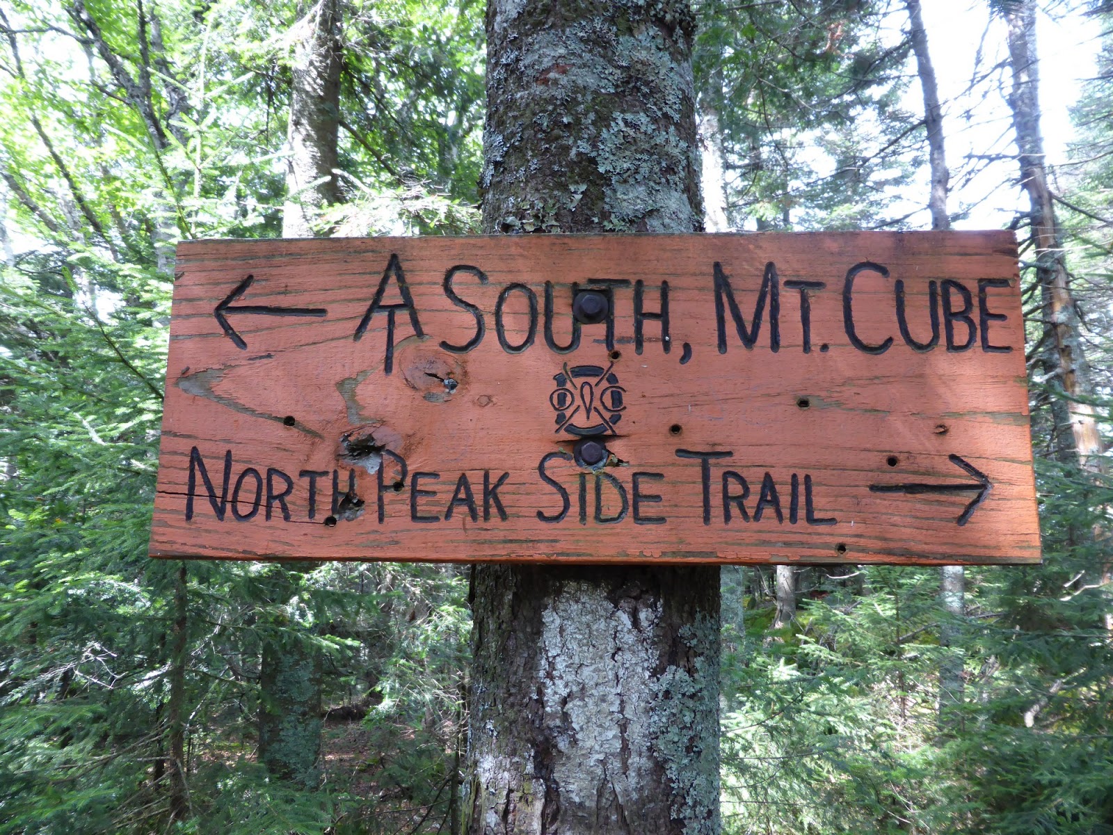
We headed up the Mount Cube Trail from Route 25A, as that is the AT in this area just South of Mount Moosilauke, and we knew they were spending the night at the Hexacuba Shelter, which is about 1.5 miles South of Mount Cube. We ran into a couple thru-hikers coming down as we went up, and one of them let us know that they were not far behind. Sure enough, about half-way up the mountain, we ran into them. It was great to see Whitney again, as I last saw her in February, and to meet her boyfriend Kenny. They were obviously having the time of their life, and it's been awesome watching their progress since late March when they started in Georgia. After a lengthy chat and passing them some goodies (thru-hikers love Snickers, cookies, and well basically anything!), Chris and I continued up to the summit of Mount Cube.
 |
| An old logging road that the Mount Cube Trail crosses |
Mount Cube is a peak on the 52-With-a-View list, a list I'm not actively trying to complete but one I definitely would like to eventually, and it definitely earns its place on the list. It actually has two summits, which both have nice views in different directions. The interesting thing about this mountain though was that the summit is covered in large quartz ledges, a fairly unusual thing in the Northeast. Chris and I spent a long while on the North summit watching the clouds burn off of mount Moosilauke, before a short stay on the South summit where we could see Smarts Mountain (another 52WAV) and into Vermont (we saw Ascutney and Killington at the very least). What a terrific peak, and on a real clear day, I bet it is amazing. I might have to visit this one in winter.
 |
| Pano from the North peak of Mount Cube |
 |
| Chris at the North peak of Mount Cube |
 |
| Mount Moosilauke in the clouds |
 |
| North Cube summit ledges |
 |
| The entire summit of Mount Cube is made of this quartz rock |
 |
| Mount Moosilauke behind Upper Baker Pond |
 |
| Firetower on Smarts Mountain |
 |
| Mount Cardigan |
 |
| Smarts Mountain |
 |
| Indian Pipe, a rather unique plant (no chlorophyll, hence it is not green) |
After a quick descent, we drove over to the Glencliff parking lot and hiked South on first the Town Line Trail and then the Wachipauka Pond Trail. There wasn't much of anything odd on these trails, but in keeping with most Dartmouth Outing Club (DOC) maintained trails, they were in nice shape. Just as we reached the junction with the Webster Slide Trail and sat down for a short break, Whitney and Kenny showed up. Boy were they surprised to see us again! We then hiked back to the Jeffers Brook Shelter, their stopping point for the night, and passed out more cookies and treats before Chris and I headed off to the Common Man for dinner and a drink. It was great seeing them, and they will be in the Whites for another week or more before hitting the awesome state of Maine!
 |
| The crossing of Oliverian Brook on the Town Line Trail was badly eroded in 2011 by Hurricane Irene |
 |
| Wachipauka Pond |
 |
| Jeffers Brook Shelter, and thru-hikers |
 |
| Hike 1: Mount Cube (the first part of the track is missing) |
 |
| Hike 2: Town Line and Wachipauka Pond Trails |


No comments:
Post a Comment