Route: Sawyer River Road, Signal Ridge Trail
Peaks: Carrigain (4700', NH4K)
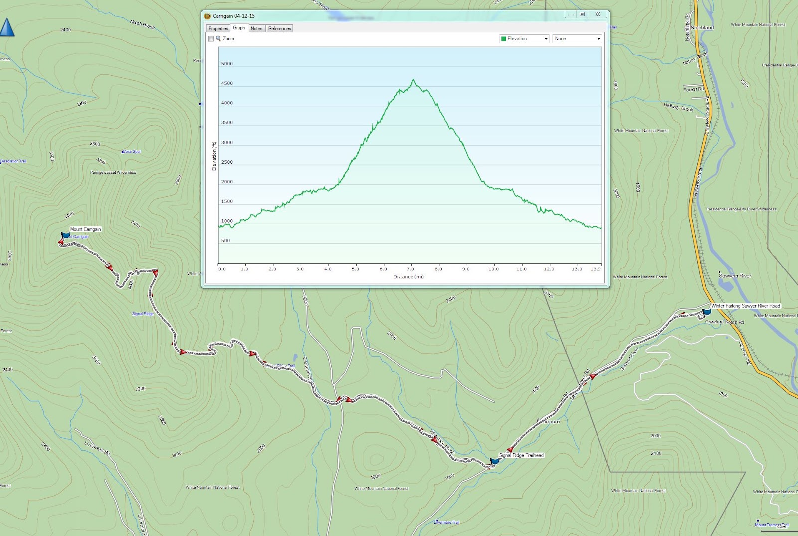
Mileage: 14.0 miles
Elevation Gain: 4000ft
Book Time: 9 hours (actual 8hr 25min)
I've been getting lax about writing trip reports lately. Truth be told, I've just not had the motivation to write them, especially about destinations I've visited so much. So from here on out I may skip some hikes now and then, or perhaps when the snow finally leaves the mountains and the big trips can resume I'll go back to writing more frequently. But for now, I'm going to skip 4 hikes that happened since the last report written here (a winter visit to
Mt. Isolation) - Field/Willey/Tom, a visit to the Tripyramids via Scaur Ridge and the South Slide (which was a rather interesting adventure to descent in the conditions we had), Garfield (the first solo hike I'd done in roughly 5 months), and a double-hit-and-run of Tecumseh and Jackson the day before this hike. And now, on to the report!
My old hiking buddy Patrick and I had been trying to find a time to get a hike in for a while now. He had hoped to get cracking in earnest on his winter 4000-footers during winter, but life got in the way and he ended the season with a big goose egg of hikes up North. Spring has been awfully slow to arrive in the NorthEast this year, but things looked good for the first nice Spring day of the year to come for this hike, which was actually a day he had free! Meeting at the AMC Highland Center (where I spent the night in the bunkhouse), we left a car and drove the rest of the way down the notch to the beginning of Sawyer River Road. The road is not plowed in winter; rather, it is left open as a snowmobile trail. With a cold night having turned the parking lot into a skating rink, we put on the microspikes, strapped the snowshoes to the packs, and took off up the road.
 |
| Walking up Sawyer River Road - not much snow left in most spots! |
 |
| The end of Signal Ridge from the Signal Ridge Trail down low. |
We both decided before the hike that we would go with summer nylon hiking pants instead of our usual soft shell or other insulated pants arrangements that we use in winter. We also opted at the car to leave the gaiters, in anticipation of warm weather. With the sun out in force on this morning, we were down to short sleeve shirts before we were halfway up the 2-mile road walk to the summer trailhead, and we stayed that way all day. Hurrah for the return of warmer weather! (Yes, in another month or so I'll be complaining it's too hot, but 50s and even 60s are awesome hiking temps!)
We hit the summer trailhead, and seeing a low snow level there (the road had still had solid, but quickly thinning, snow cover), we continued on in the microspikes, hoping we could get near the trail junction with the Carrigain Notch Trail before things softened up to the point where we would have to change to snowshoes. The trail was in pretty good shape overall, with postholes along the sides, but not in the middle of the packed trail, and we made good time, chatting and catching up after over 4 months since we last hiked. We did in fact manage to reach the old trail junction (it has been relocated a little further up trail, and an extra 1/4-mile of trail with a pointless PUD added since 2013) in just the light traction, but knowing the climbing was about to begin and the trail softening fast in the blazing sun, it was here we put on the snowshoes. They stayed on until our return to the Sawyer River Road. While busy getting the snowshoes on, one of the 3 other hikers we would see on the hike passed us, on her way to the summit as well.
 |
| Heading up! |
 |
| Deep blue skies all day! |
We took the old trail corridor (still very obvious to the left at an arrow on a tree), as it is shorter, and involves less climbing than the new official route. Plus, it was the only one with recent traffic. There are 2 stream crossings on the old route versus just 1 on the new route, but they were trivial to cross, though we had to cross the bare rocks on snowshoes, not a super-fun thing to do. Having enjoyed fairly flat trail for this first 4 miles, we soon began the actual ascent, where over 3000 feet of climbing happens in about 3 miles. We slowed down big time through this, but the trail conditions, while soft, were actually pretty good so we enjoyed the day, took our time, and eventually made it through the endless (OK, it's about 1 mile long) switchback, through several more switchbacks, and popped out onto Signal Ridge, one of the more spectacular spots in the White Mountains.
 |
| Mount Washington and the Presidential Range shining in the sun |
 |
| Vose Spur, a New England 100 Highest Peak, seen from Signal Ridge. The Willey Range and Crawford Notch are in the background. |
 |
| Mount Lowell and its famous cliffs. |
 |
| Mount Chocorua |
 |
| Signal Ridge pano |
 |
| The summit of Carrigain, 1/2-mile away. |
 |
| The tower atop Carrigain |
 |
| The Hancocks from Signal Ridge |
 |
| The Osceola Range |
 |
| The Baldface Range behind Crawford, Stairs, and Resolution |
With a pretty significant snowpack still present, there were great vies not just across Carrigain Notch to the cliffs of Mount Lowell, but in the other direction towards the Sandwich Range and the Hancocks, peaks not normally easy to see due to scrub on that side of the ridge. We enjoyed a good break here before popping back into the trees for the final push to the summit. At the tower atop the summit we ran into the same woman who had passed us earlier, about to head on her way down. After wishing her good luck, we headed up the tower to take in the views.
There was a mild and slightly chilly wind atop the tower, but with temps near 50 degrees and not a cloud in the sky, a light jacket was all we needed to enjoy a nice, long break on the tower. Man, it seems like forever since I spent any significant time on a summit without freezing my butt off!
 |
| The Desolation Trail, heading into the heart of the Pemi Wilderness. It sees no traffic in winter. |
 |
| Signal Ridge from the Mt. Carrigain summit tower. |
 |
| Left to right: Passaconaway, Whiteface, East and West Sleeper, the Tripyramids |
 |
| Pano over the Pemi from Carrigain |
 |
| The Bond-Bondcliff ridge, with the pointy peak of Mt. Garfield in the background. |
 |
| Mt. Bond |
 |
| The Presidentials |
 |
| The Baldface Range |
 |
| Franconia Ridge |
 |
| The Osceolas |
 |
| The Bonds |
 |
| Bondcliff |
 |
| Tom, Field, and Willey (L->R) |
Eventually we tore ourselves away from the views and headed back down to Signal Ridge. Some more picture-taking ensued, during which the other 2 hikers on this mountain this day came up, and then we pried ourselves away for the long, but not overly difficult descent, lured by the thought of burgers and beer. The only part of the descent that was tricky was the long switchback/traverse, where the downhill edge of the trail would occaisonally break free, making for an interesting game of seeing how long we could go without almost falling into the trees alongside the trail. We made it back to the road, switched to bare boots, and hauled it out to the car. Making a quick stop on the way back South to pick up my car at the Highland Center, we re-convened in Lincoln for a bit at Black Mountain Burger (our favorite post-hike spot!) before heading home after a terrific day in the woods.

 |
| "The Chute" on Mt. Lowell. There are some crazy people that climb that chute all the way to the summit, in winter! |
 |
| One of the stream crossings on the old (closed) section of the Signal Ridge Trail). Easy rock-hop in these conditions. |


No comments:
Post a Comment