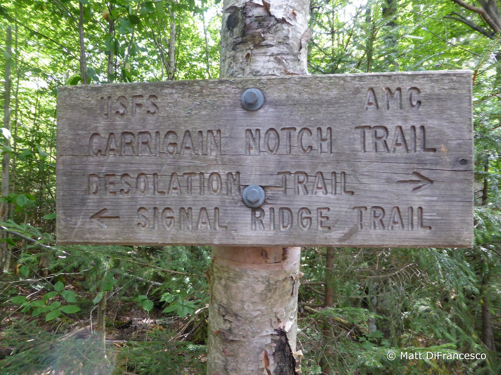
Route: Signal Ridge Trail, Desolation Trail, Carrigain Notch Trail
Peaks: Carrigain (4700', NH4K)
Mileage: 13.7 miles
Elevation Gain: 4150ft
Book Time: 9hr (actual 7hr 45min)
Yes, you read that right. I'm almost 6 rounds of the NH4Ks in, and I hadn't hiked them all in summer yet. It's just kind of how it happened. My dad and I hiked the first round together, doing 46 of the 48 in the summer between 2000 and 2007. But the last 2, Cannon and Carrigain, were done at the end of September 2007, after the calendar turned to fall. Last year I finally tagged Cannon for summer #47, and planned on finishing the summer season this year. This was actually my second season finish, as I finished the winter season in 2013, and possibly next year I will finish visiting them in all 4 seasons (I have 24 or 25 left between Spring and Fall). I like seeing these peaks in different seasons, and while summer isn't my favorite, it does allow for some fun routes. For Carrigain, I've only ever done the out-and-back on the Signal Ridge Trail, but this time I was looking for something new.
 |
| A view to Stairs Mountain, with Mount Resolution to the right, from the Signal Ridge Trail. |
 |
| Vose Spur and the ridge up to Carrigain from Signal Ridge. In 2013 I bushwhacked up that ridge with a friend to the summit of Carrigain after having bushwhacked to Vose Spur. |
 |
| Pano from Signal Ridge |
I was joined by 2 folks from Meetup on this hike, and the original plan was to hike the loop around Carrigain, ascending via the Carrigain Notch and Desolation Trails, and descending via the Signal Ridge Trail. But the day's forecast was for rain, thunderstorms, and maybe even a little hail starting by 2, so I made the decision we would just head up and back on the Signal Ridge Trail. The Desolation Trail would have to wait for another day, I didn't want to be anywhere near the top of this mountain in the forecast weather! What we saw once reaching the summit, however, was partly sunny skies with nothing ominous on the horizon. Shockingly I had cell
service up there, and was able to see that nothing was on the radar for hundreds of miles, and the storms were now not expected until at least 5PM.
 |
| Hunting blueberries on Signal Ridge |
 |
| Found a bunch! Nice and ripe and yummy! |
 |
| Snack with a view! |
 |
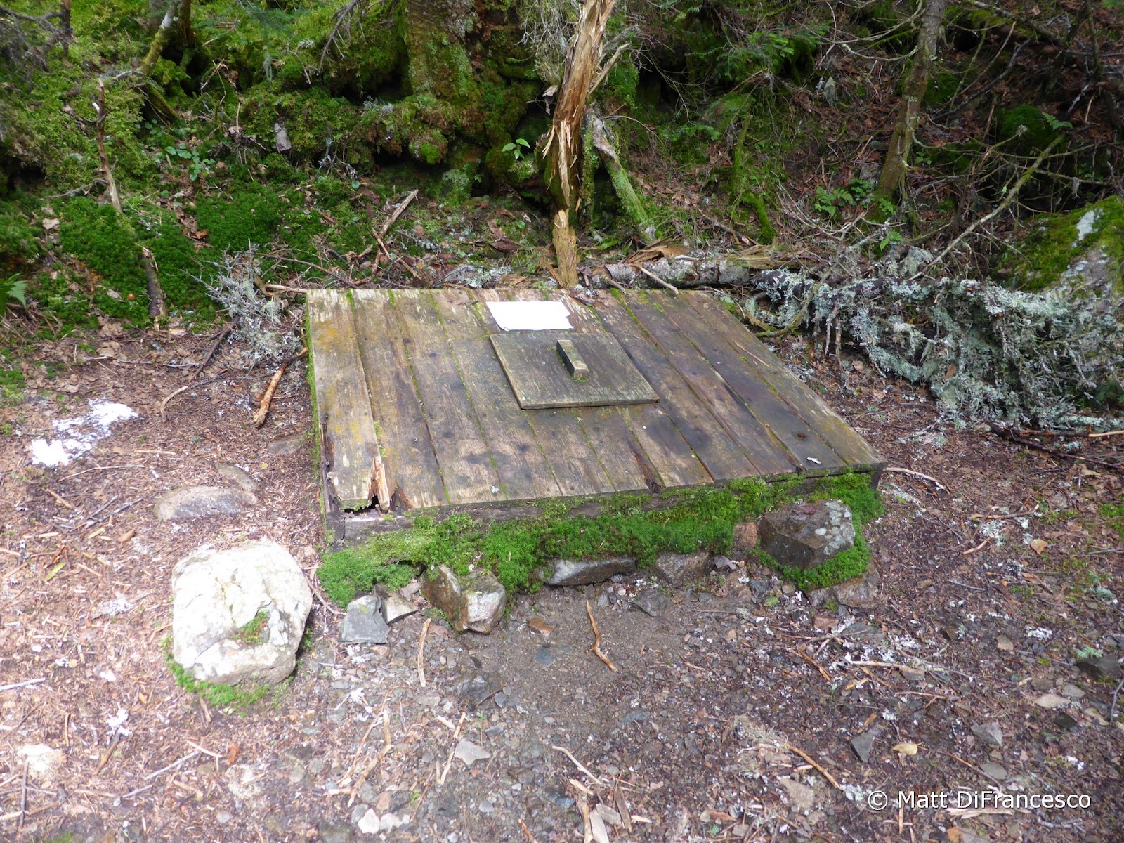
| The old fire warden's spring below the summit. Not recommended for drinking, even if treated. |
 |
| Signal Ridge from Carrigain |
 |
| The Hancocks from Carrigain |
 |
| The Bonds |
 |
| Looking into the Eastern Pemi Wilderness from Carrigain. |
 |
| Looking towards the Willey Range and Crawford Notch |
 |
| Franconia Ridge from Carrigain |
 |
| Passaconaway, Whiteface, and the Tripyramids from Carrigain |
So we decided to go DOWN the Desolation Trail and finish the loop. None of us really like out-and-back hikes when a loop is possible, and the weather looked like it would hold for us. So down we went on the ridiculously steep and rocky Desolation Trail, which of course was also damp. Some of the scrambles took a lot of care, but we all took our time, got down safely, and cruised out on the bottom end of the trail. The final leg on the Carrigain Notch Trail through the notch was beautiful (especially on the old railroad grade before the Nancy Pond Trail junction), and we made good time back out to the car. There were a few rumbles of thunder in the distance to the East as we passed through the height-of-land in the notch, but nothing immediately near us, and not a drop of rain was felt. It was a great hike with some great folks, and while hot and humid, it was a
good day in the woods. The rains did hit North Conway about 1.5 hours after we got off the trail, and I even hit a brief stretch of pea-sized hail while driving South near Chocorua, NH, but it held off for our hike, and I hope no one got caught out in it above treeline!
 |
| Down we go, into the Wilderness! |
 |
| A peek down into the valley form the Desolation Trail |
 |
| One of several very steep, scrambly, wet sections we had to descend. Definitely go up this trail versus down if you can! |
 |
| The lower half of the Desolation Trail has numerous sections of old exposed telephone wire along it. |
 |
| Massive washout (from Hurricane Irene?) at the Desolation/Carrigain Notch junction. |
 |
| The first stretch of the Carrigain Notch Trail follows a clear, old railroad corridor. |
 |
| Someday I'll come back for this section of the Nancy Pond Trail |


No comments:
Post a Comment