On November 9, a group of us headed to bushwhack a peak that most of us needed for our New England 100 Highest List: Vose Spur. Situated on a North-running ridge of Mount Carrigain and forming one side of Carrigain Notch, Vose Spur is a trail-less summit reaching over 3800' above sea level. As if that wasn't going to be enough, Ian and I were also going to bushwhack from Vose Spur through over a mile of thick and steep woods to the summit of Mount Carrigain, which has one of the finest views in the White Mountains.
Around 8AM our group of 7 plus a dog (Ian's dog Marlie) met in the parking lot on Sawyer River Road and began our trip into Carrigain Notch. The first ~2 miles is on the Signal Ridge Trail, which has had a couple minor relocations in this stretch since I last traveled it in early 2012. The junction with the Carrigain Notch Trail has been moved further in as a part of one of these relocations, making this stretch slightly longer than the 1.7 miles it used to be, but being all flat, it was a quick and easy jaunt to our first landmark of the day.
 |
| The old Signal Ridge Trail/Carrigain Notch Trail junction. Now you continue a little further to the left on what used to be the Carrigain Notch Trail. |
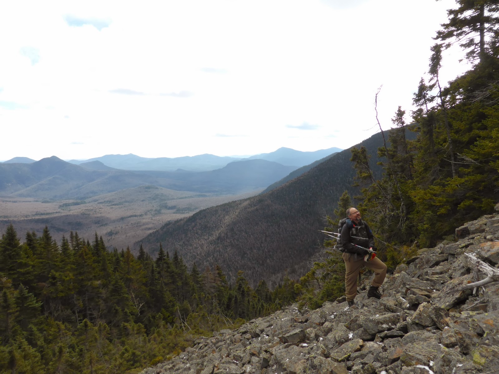
From the junction, we were to take the Carrigain Notch Trail into the heart of the notch, where a little before the height-of-land there is a large boulder that most people heading to Vose Spur start their bushwhack from. Here we headed into the woods, heading for a South-running sub-ridge of Vose Spur that we then followed uphill. The woods in here were mostly open and easy going, though steep in spots. Soon enough though, we topped out on the ridge, and eventually stumbled across a herd path that took us up to a large talus field below the summit. Crossing this talus field, we re-entered the woods on the upper left side of it, and the herd path took us right to the summit area (albeit VERY STEEPLY). The woods never got terribly thick, and it was a pretty straight-forward bushwhack in fact, yeay!
 |
| The large boulder along the Carrigain Notch Trail that signifys the start of the bushwhack. We actually passed it a little but before starting our trek. |
 |
| On the early portion of the bushwhack up to the subridge of Vose Spur. |
 |
| Entering the talus field |
 |
| Trey and Anne climbing up the talus field on the side of Vose Spur |
 |
| Passaconaway from the talus field |
 |
| Mount Tremont, with Chocorua off in the distance to the right |
 |
| Philip (of Sectionhiker.com) on the talus field |
 |
| Passaconaway and Whiteface from the Vose Spur talus field |
Once at the summit we had a small celebration since one person in our group was finishing the New England 100 Highest list today on this peak. Congrats again Randy! After some wine, cheese, and assorted snacks, the group parted ways, with most folks heading back to the cars while Ian and I headed up to Carrigain.
 |
| The group on Vose Spur |
 |
| Mount Carrigain off to the left with a subpeak in front, our first destination on the trek to Carrigain. |
Our plan was essentially to follow the ridge up to Carrigain, crossing the false summit along the way, so as to avoid the steep ravine to the South of the ridge. It was a steep drop into the col, with a few tricky ledges to descend, but we made it without much trouble. A few feet above the col on the Carrigain side is another talus field (visible in the picture above) which while not very high, was very wide and offered a number of great views, especially into Zealand Notch and towards the Presidential Range.
 |
| Snow-covered reindeer lichen |
 |
| Mount Tremont from the second talus field |
 |
| The short, but wide talus field in the Vose Spur/Carrigain col |
 |
| Ian and Marlie check out the views from the second talus field |
 |
| The cloud-capped Presidential Range from the second talus field |
 |
| Zealand Notch, with Zeacliff on the cleft, Hale in the back, and Whitewall Mountain on the right. Just visible as a tiny speck well below Hale's summit is Zealand Hut |
 |
| Tom, Field, and Willey (L->R) |
 |
| Tremont |
 |
| Last look at the Presidential Range |
From the talus field, we entered the woods, and climbed steeply and thickly at times until we eventually reached the summit of the sub-peak on the way to Carrigain. Here there was a tiny cairn, and from here to the tower on Carrigain we frequently had a faint herd path to follow, which made the going a little better. The big help though was that the grade in here was much more moderate, which made climbing over blowdowns and the like much easier. Nearing the summit, we hit a small alpine shoulder which offered some nice, albeit windy and cold, views, before we entered the spruce for the final push to the summit area.
 |
| Marlie on the false summit between Vose Spur and Carrigain |
 |
| The tower is in sight! |
 |
| Signal Ridge from the alpine shoulder of Carrigain |
With the final push, we popped out of the woods on the summit of Carrigain right by the newly-redecked fire tower, almost 2 hours from when we had left Vose Spur. Up top it was cold (19F, first real cold for us this year) and windy (20-25mph), so we only stuck around long enough for a few pictures before heading down. The descent was uneventful, with only a few minor and avoidable pockets of ice, and we saw only one group of people, near the road. A few minutes before the parking lot we had to break out the headlamps, but we still got back barely an hour after the rest of the group did.
It was a great hike with a great group of folks. Congrats again to Randy for finishing another list, and thanks to Ian for coming along for the bonus bushwhack after you had already been to Vose Spur before!
 |
| The bedsprings from the old FireWarden's cabin near the summit of Carrigain |
 |
| Signal Ridge from Mount Carrigain |
 |
| Partial pano from the Carrigain summit tower |
 |
| Vose Spur on the right; the upper talus field is the one we climbed en-route to that peak. The rest of the ridge visible was our bushwhack route to Carrigain |
 |
| Nancy, Anderson, and Lowell from Signal Ridge |
 |
| Vose Spur and the other side of Carrigain Notch |
 |
| Looking back at the summit tower from Signal Ridge |
 |
| Pano from Signal Ridge |
 |
| The Presidential Range from Signal Ridge |
Summary:
Route: Signal Ridge Trail, Carrigain Notch Trail, bushwhacks, Signal Ridge Trail
Peaks: Vose Spur (3862', NEHH), Mount Carrigain (4700', NH4K)
Mileage: ~11.5 miles
Elevation Gain: ~3700ft
Time Taken: 8hr 40min


Hi Matt, I am just wondering how the dog did on the bushwhack? I am headed to hike Vose Spur this weekend, and I would like to bring my dog. I am just weary of the talus field and the steep tight section leading to the summit. I don't want her to get injured out there. She is a very spry dog, and we have hiked many mountains together, yet I just get hesitant about bringing her on bushwhacks with unstable ground and steep tight sections of trees. Thank you for your input!
ReplyDeleteMarlie's a pretty experienced trail dog and she's done a fair bit of both bushwhacking and talus-hiking (including stuff like King's Ravine and Mahoosuc Notch - she hated the latter!). Thus she had little trouble with this hike. The bushwhacking part in most ways was easier for her than us as she was able to walk below most of the thick stuff. Talus-wise there's only one talus field en-route to Vose, plus we hit a second one going to Carrigain. The one to get to Vose is longer (~1/10mi at most), but neither is particularly long though they are both a tad unstable as talus tends to be. It depends on the dog but I tend to think they could bypass through the woods nearby if needed. The steeps above are navigable and should be fine as long as your canine friend doesn't like to dive headlong down a steep slope.
Delete