With another morning undercast forecast, my plan A hike was still on: a big loop around some new (to me) trails on Mount Moosilauke. Arriving to the Ravine Lodge at about 9, and on-trail 10 minutes later, I picked up the Asquam Ridge Trail. The plan was to take this trail to the Beaver Brook Trail to the summit of Moosilauke, and then I would descend via the Carriage Road and pick up the Hurricane Trail back to the Ravine Lodge. A nice, tidy, fairly long loop, with only 2 miles of the loop being repeated trail segments.
Asquam Ridge Trail is an old logging road most of the way up to the ridge near Mount Jim, and as such the footing was generally good, and the grade was mild. I made great time along this trail, and really enjoyed it too, it was a pleasant change from the usual rocks and roots of New England. There were a number of scattered blowdowns, but none took long to climb over or under, and in short order I was on the ridge. At the high point, a short herd path diverged North about 25 or so feet to what appeared to be the summit of Mount Jim, a peak on the Trailwright's 72 list (a list that, despite having bagged a lot of peaks from lately, I am not currently pursuing). The summit may not be exactly here, but it looked to be the high spot and at least for now I'm going to say I made it.
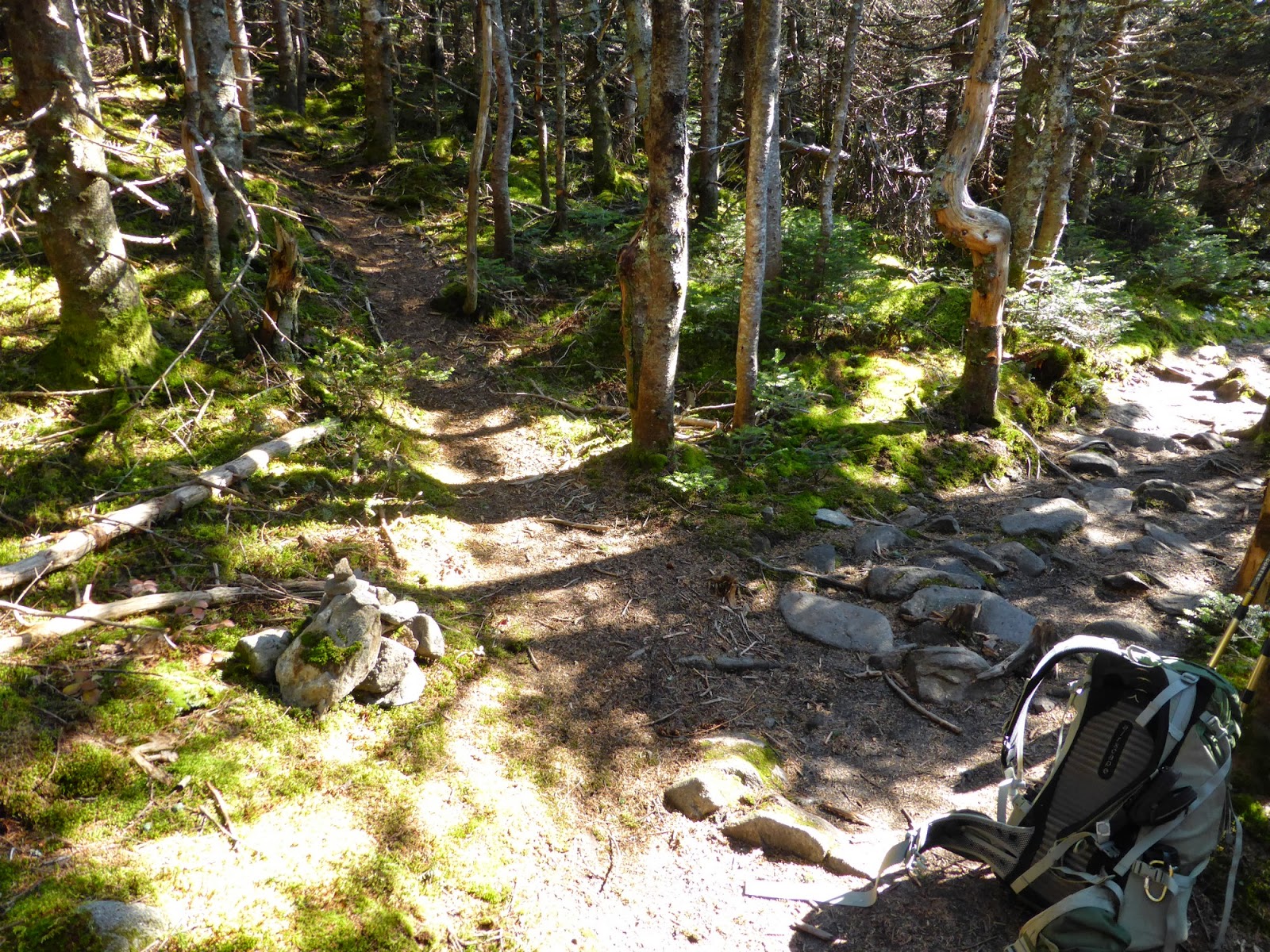
 |
| A representative section of the Asquam Ridge Trail |
 |
| Moosilauke (L) and Blue (R) from a bit below Mount Jim |
From Mount Jim, I continued on to the junction with the Beaver Brook Trail, where I ran into the first people of the day since leaving the trailhead. Not surprising, since the Beaver Brook Trail is on the Appalachian Trail and is a popular ascent route. The route got rocky and there were a few boulders to navigate, but overall it wasn't bad. As I approached the Mount Blue - Mount Moosilauke col I kept a lookout for a herd path, and right as expected I found a very clear herd path that in about 2/10-mile took me right to the summit of Mount Blue (no ambiguity here, it was clearly the summit). Another Trailwright's 72 peak bagged!
 |
| Herd path (straight ahead) to Mount Jim off the upper segment of the Beaver Brook Trail |
The climb from here to Moosilauke was straight forward, and with a final push up a steeper segment just past the junction with the Benton Trail, I popped above treeline to another awesome undercast. This one was pretty solid to the East and South, but somewhat broken to the West towards Vermont. As always with Moosilauke, the views are superb when you have them, and I enjoyed every bit of them for the rest of the gradual walk up to the (predictably) busy summit.
 |
| Franconia Ridge sitting above the clouds |
 |
| Some clearing to the West, but still much undercast |
 |
| Busy summit |
 |
| The South Peak of Moosilauke a mile down the ridge |
 |
| Lots of folks enjoying the day |
The wind was mostly calm on what is normally a windy peak (arguably almost as windy normally as Mount Washington), and I took a nice long break here like everyone else was. With just the tips of the summits of Liberty and Flume visible, and most of the Sandwich Range nowhere to be seen, it was clearly a day to live about 4000 feet.
 |
| Franconia Ridge and the top of Liberty(R) |
 |
| Liberty, Flume, and a white blanket |
 |
| South Peak getting more surrounded |
 |
| Admiring the view to Vermont |
 |
| Black Mountain (Benton) |
Eventually I tore myself away and headed down the ridge to Moosilauke's South Peak. This was my 3rd time on the summit, and I've yet to get the cool views to the Tunnel Brook Ravine. Dang undercast on 2 of those trips, haha! (Not complaining mind you!) Still, the views here are indeed very nice and well worth the short detour. One thing that changed since my last trip to Moosilauke in March 2012 is that the sign for the South Peak spur has been replaced and if you are looking, you can actually see it from the Glencliff/Carriage Road junction.
 |
| New brightly-colored sign for South Peak |
 |
| Undercast edge |
 |
| Looking at Moosilauke from South Peak |
 |
| Busy on the top still |
 |
| Brief view into Tunnel Brook Ravine |
 |
| South Peak summit (also a TW72 Peak!) |
Returning to the Carriage Road, I descended roughly 2.5 miles to the Hurricane Trail. The first stretch to the Snapper Trail was its usual rocky self, but I really enjoyed the second half to the Hurricane Trail. Less traveled, with far fewer rocks, it was also lined with some really nice hardwoods, though the leaves were all down and on the ground. After tromping through some shin-deep leaves, I reached the Hurricane Trail, which was a nice, flat route back to the Gorge Brook Trail near the Ravine Lodge. The only catch was the 100 ft climb right at the very end, then the seemingly never-ending climb to the parking lot from the main stream crossing on the Gorge Brook Trail. A terrific loop, with lots of lightly-traveled trails, but as is typical with the Dartmoth Outing Club that maintains these trails, they were all easy to follow and overall maintained very well.
Summary:
Route: Asquam Ridge Trail, herd path, Beaver Brook Trail, herd path, Moosilauke Carriage Road, South Peak Spur, Hurricane Trail, Gorge Brook Trail
Peaks: Mount Jim (4172', TW72), Mount Blue (4529', TW72), Mount Moosilauke (4802', NH4K), South Peak (4523', TW72)
Mileage: 11.2 miles (8.8 miles new red-lines)
Elevation Gain: 3000 feet
Book Time: 7hr 5min (actual 5hr 30min!)
 |
| Moosilauke Carriage Road between the Hurricane and Snapper Trail |
 |
| The trees are all well past peak, but I bet this is a beautiful stretch in peak season. |


No comments:
Post a Comment