Route: Dry River Trail, Mt. Monroe Loop, Crawford Path, Mt. Eisenhower Loop, Webster-Jackson Trail, Webster-Jackson Trail
Peaks: Monroe (5384', NH4K), Franklin (4904', TW72), Eisenhower (4780', NH4K), Pierce (4310', NH4K), Jackson (4052', NH4K)
Mileage: 19.6 miles
Elevation Gain: 6750'
Book Time: 13hr 10min (actual 10hr 40min)
The Dry River Trail was obliterated in places (for yet another time in its history) by Hurricane Irene in 2011. Entire portions of the trail were said to have washed away into the river, and the likelihood of it being repaired seemed slim given it was a lightly-traveled Wilderness Trail. But, in 2014 the USFS actually rerouted and repaired the trail, reopening it in the fall. I've had this trail on my to-do list but had figured I wouldn't get to it since the trail was closed, but with it reopening it got put back on near the top of the list. My friend Denise had talked about wanting to hike it this summer too, I had no real plans for the last weekend in July (other than hiking something), and a few days out she asked if I was interested for this weekend. Yes, indeed, especially since we could add the Southern Presidential peaks on the way back, most of which I had not visited in July. We decided to get an early start and hike the entire length of this nearly-10-mile-long trail to Lakes of the Clouds Hut, and then hike 10 more miles and bag 4 4000-footers on the way back to the car! (Monroe, Franklin - not an official 4K, Eisenhower, Pierce, and Jackson).
 |
| The long way to Lakes of the Clouds Hut! (By the junction with the Crawford Path) |
 |
| An early view of Mt. Washington. Mt. Monroe, our first peak of the day still roughly 9 miles distant, is the pointy peak to the left. |
 |
| Crossing the river on the only bridge of the day. |
 |
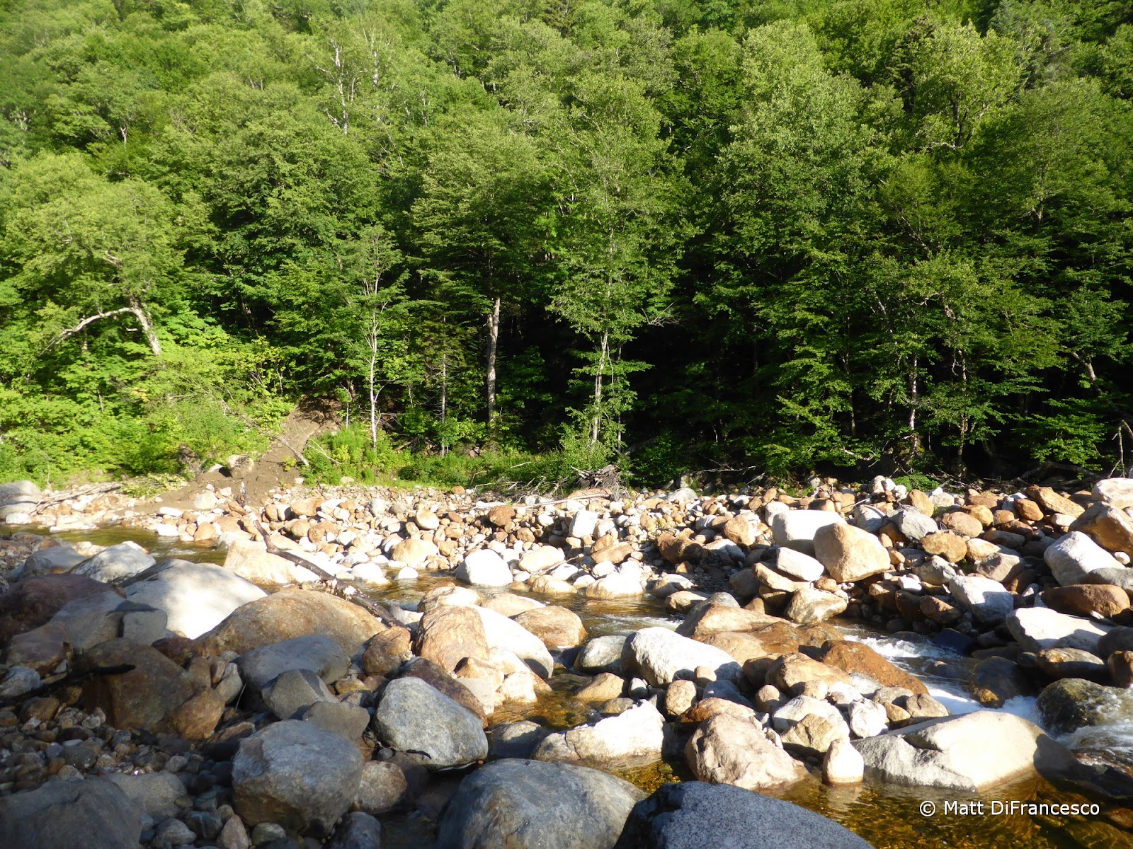
| The "Dry" River |
 |
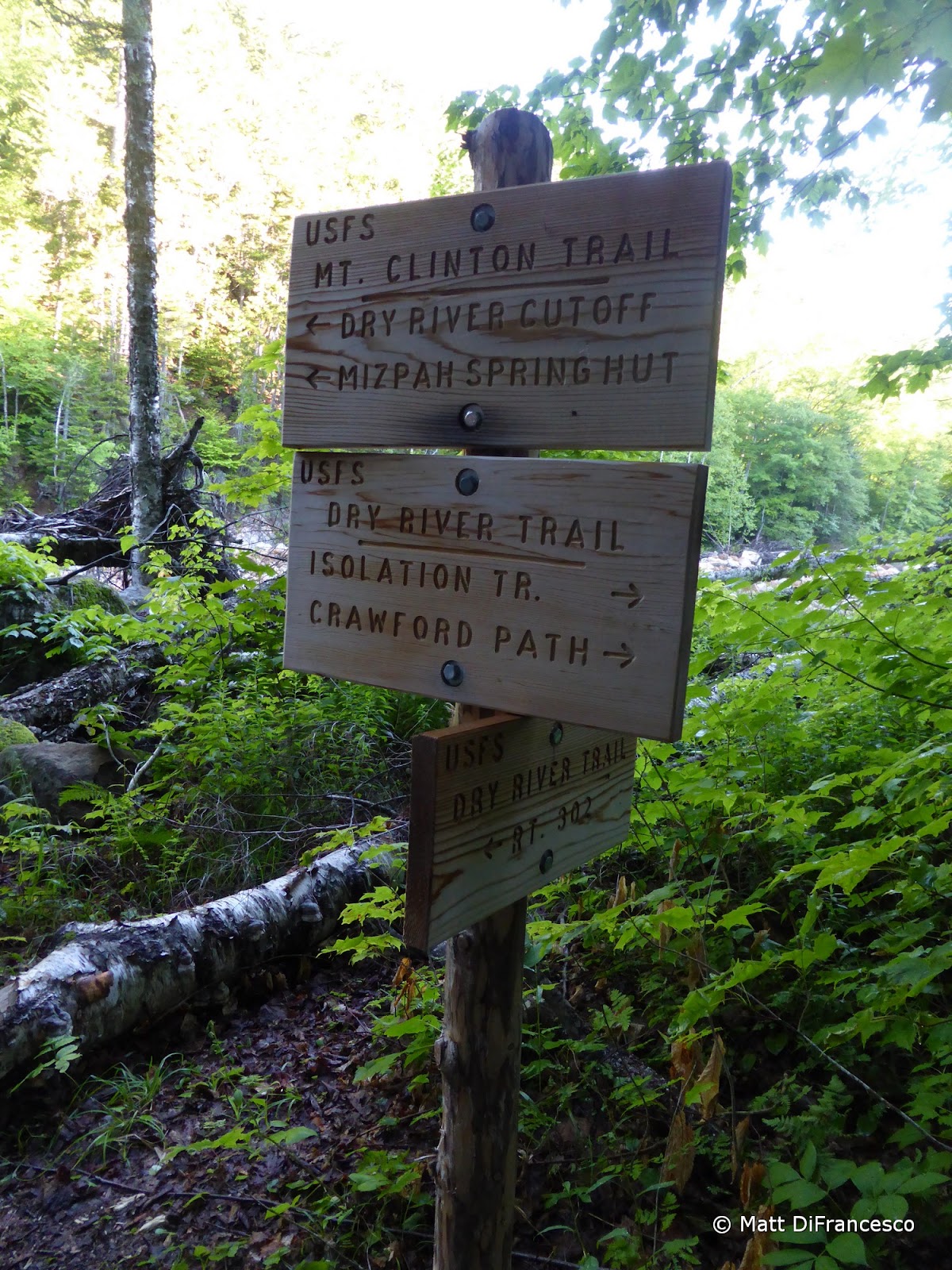
| Brand new signage at the junction with the Mt. Clinton Trail. |
6AM saw us meet at the Webster-Jackson Trailhead. Heather and her canine companion Kali were also joining us, I've met Heather numerous times before but we've never actually hiked together so this was a treat! We piled into my car and headed a few minutes down Crawford Notch to the roadside trailhead. The Dry River Trail was very cool. It was clearly lightly-traveled, with a lot of step-over blowdowns in the first miles, and a lightly-trodden footbed. The trail follows the river fairly closely (and that is why it has had a long history of washing out), but the recent reroutes frequently left the river by a short distance, so perhaps those sections won't wash out in the next big storm. There had been a handful of other cars at the trailhead, which apparently belonged to a group camping down along the river a couple miles in. We saw only one other hiker along the way (just above the West Isolation Trail junction).
 |
| Crossing the river. |
 |
| Crossing the river. With wings! |
 |
| A feeder stream next to Dry River Shelter #3. |
 |
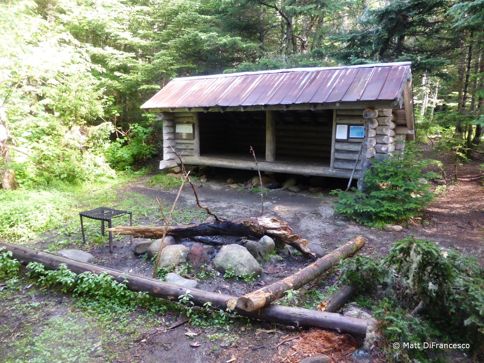
| Dry River Shelter #3. |
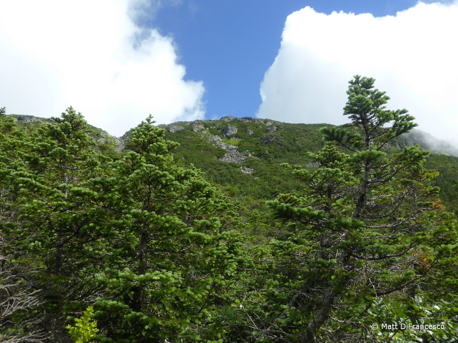
The trail actually turned out to be fairly easy to follow, with the only slightly confusing spot being behind the Dry River Shelter #3, the only remaining shelter on this trail. The shelter is still in fabulous shape, and tucked 6+ miles down the trail next to the river, it looked like a really nice spot to spend the night. There are a few herd paths around the shelter, but the trail continues straight behind the shelter for a short distance before hooking a right and crossing a fork of the river. A couple miles later, the gradual climb ends and the headwall climb begins. Mud, slippery rocks (we all slipped a few times each), and step-over blowdowns were the norm, but once on the final headwall climb, the morning clouds parted some and offered some great views into the Dry River Wilderness. It really was an awesome (and fairly short - roughly 1000ft) climb up to the Lakes of the Clouds.
 |
| Climbing the Oakes Gulf headwall. |
 |
| For a while, it looked like we might be heading up this rock chute, but the trail actually hooks around over the ridge to the left. |
 |
| People on Mt. Monroe! |
 |
| View from the top of the headwall. |
 |
| A unique view of Mt. Monroe from near the top of the Dry River Trail. |
 |
| Mt. Monroe |
 |
| One of the Lakes of the Clouds. |
 |
| Hiking around the lake to the hut. |
After a break at the always-crowded Lakes of the Clouds Hut (aka the Lakes of the Crowds), we headed up to Monroe, and then back down to the same junction. We all wanted to red-line the Crawford Path around Monroe, hence the backtrack. There are actually some pretty neat views into Oakes Gulf on this section of the Crawford Path. From there we hiked the usual combination of the Crawford Path, Mt. Eisenhower Loop and Webster Cliff Trail over Mts. Eisenhower, Pierce, and Jackson. We were in-and-out of the clouds the rest of the day (mostly in after Monroe), but it was still a wonderful day for a hike. The descent down the usually-damp (and especially so on this day) Webster-Jackson Trail was its usual unpleasant self. I tweaked my knee sliding on a rock, and I think everyone took at least one spill, but we all finished with a smile at the end of another lengthy, but beautiful hike.
 |
| Leaving the hut for Mt. Monroe. |
 |
| A random hiker surveys the clouds rolling by. |
 |
| Pano NorthEast from Monroe. |
 |
| Hiking around Monroe on the Crawford Path. |
 |
| Mt. Franklin awaits ahead. |
 |
| Looking back towards Monroe. |
 |
| Another wave of clouds rolling by. |
 |
| Heading off to Mt. Eisenhower. |
 |
| Summit of Eisenhower. |
 |
| Heading to Mt. Pierce now. |
 |
| Mt. Jackson from the bogs between it and Mizpah Hut. |
 |
| 19.6 miles in all, with roughly 6750ft of elevation gain. |


No comments:
Post a Comment