Route: York Pond Trail, Bunnell Notch Trail, Kilkenny Ridge Trail, Horn Spur, Devil's Hopyard Trail
Peaks: Cabot (4170', NH4K), The Bulge (3950', NEHH), The Horn (3905', NEHH), Rogers Ledge (2940')
Mileage: 16.4 miles
Elevation Gain: 4450'
Book Time: 10hr 25min (actual 9hr)
Wow, I've gotten way behind on trip reports. It's gotten to be something I put off, instead of doing right away as I used to. Point in case, this trip was nearly 3 months ago now. But, I'll try to fill back in with the unique routes. This one certainly fills that checkbox. The last couple of years, I've greatly enjoyed taking new/different routes to the "same old" peaks on the New Hampshire 4000-Footer list as I work towards "the grid" (doing each peak in each calendar month of the year). For this hike, Ian and I discussed cleaning up some mutual un-hiked-by-us trails way up in the Northern woods of the Kilkenny Range.
We met early at the South Pond recreational area in Stark, NH. The gate officially does not open until 10am, but it was wide open when we got there a bit after 8, which meant the added bonus of not needing to road-walk the 1-mile walk at the end of the hike (the gate wasn't to close until 8PM, which we should have been able to get out before). Leaving a car there, we headed over to the Berlin Fish Hatchery and the York Pond Trailhead.
The first part of this hike was pretty standard: we headed via the most direct route up to Mount Cabot via a gradual climb to Bunnell Notch, a brief descent, and then the main climb up to Cabot Cabin. Along the way, we ran into Jim, a fellow I've hiked with a couple times before, and Holly, Steve, and their canine friend Kibo, whom we've run into and even hiked with in the past as well. Also, shortly before Cabot Cabin, the trees were covered in a thin coating of snow/rime ice, as the weather was fairly cold on this day.
 |
| Views from Bunnell Rock en-route to Cabot |
 |
| Frosty trees atop Mt. Waumbek to the South |
 |
| Color in the valley towards Lancaster, NH |
 |
| Snow! |
 |
| Nearing Cabot Cabin |
 |
| View from Cabot Cabin's porch. I've never had clear enough skies to see anything from here before. |
 |
| More color in the valley as viewed from the old fire tower clearing (NOT THE SUMMIT!) |
From the cabin, we headed to the true summit of Mount Cabot, which is about 1/2-mile past the cabin. Many people accidentally stop at the old fire tower clearing a few yards past the cabin, but this spot is nearly 200 feet lower than the actual summit, so don't stop there, keep going! En-route, I decided to check out the Cabot Spring Spur, an un-marked (though there was a cairn there on this day) spur that drops 0.15 miles, and about 200 feet vertically down to a puddle that is the "spring". This is not really a reliable water source, but it is in the redliner's workbook, so I did it to check it off. It was fairly easy to follow, but overgrown, poor in footing, and due to the snow on the trees, wet. Needless to say, I wasn't a fan, and why Ian came down when he'd already done it is beyond me. What a pal!
 |
| The Cabot Spring. Just a still puddle of water honestly. |
 |
| There historically has been a stick sign on the back of a tree at the true highpoint on Cabot a few yards off-trail. Last fall, someone took it down, leaving just one of the screws that held it. |
 |
| The trail signs on Cabot have been recently replaced (the old ones were all but unreadable). In the process, they dropped 60 feet off the elevation of this peak (old sign used to read 4180', and the AMC lists it at 4170'). |
Back onto the Kilkenny Ridge Trail, we headed to the summit of Cabot, then continued on across to the uninspiring and aptly-named "The Bulge", before taking the spur trail to The Horn, one of the best spots on this range. We spent a while on the summit of The Horn enjoying the views, and chatting with a Meetup group that included Tom, a fellow I've also hiked with a number of times in the past.
 |
| Marlie is unimpressed with the summit of The Bulge. |
 |
| The Northern Presis from The Horn |
 |
| A crowd atop the rocky summit of The Horn |
 |
| Nice color in the valleys this weekend! |
 |
| Cabot (C), and The Bulge (R) |
 |
| The un-trailed Pilot Range stretching West. |
Once we continued North and continued on the Kilkenny Ridge Trail past Unknown Pond, we didn't expect to see anyone. But being a holiday weekend, there were a few people we saw en-route to Rogers Ledge, but not many. The Kilkenny Ridge Trail along this Northern stretch for the most part had decent footing and gentle grades, with just a final steepish climb up to Rogers Ledge itself. The crossing of Kilback Pond was not flooded out by beavers as apparently sometimes happens, and we even briefly checked out the Rogers Ledge Campsite (which looked like it was going to have a few occupants for the night).
 |
| The Horn from Unknown Pond |
 |
| We continue North towards Rogers Ledge |
 |
| Awesome birch glade woods as we travel around the trail-less summit of "Unknown Pond Peak". |
 |
| Bridge crossing of Kilback Pond |
 |
| View of Rogers Ledge from Kilback Pond |
 |
| Woods behind the Rogers Ledge Campsite |
Rogers Ledge itself was a really neat spot. The main ledges area few yards off-trail, but were easy to find (finding the trail continuing North was a little trickier). From here we could see all the way back to Cabot, see some of the Presidential and Mahoosuc Ranges, and enjoy the nice color in the valleys (as fall was a little late in arriving this year, the color was near peak in parts of the Whites, though a little past this far North). We did still have a ways to go yet, so we continued North, now to see no more people for this hike.
 |
| Northern Presis from Rogers Ledge |
 |
| Ledge |
 |
| Marlie on Rogers Ledge |
 |
| View South towards The Horn, Cabot, the Pilot Range, etc. |
 |
| Mahoosuc Range, Carters, and Presidential Range |
 |
| Looking straight down Rogers Ledge |
 |
| The color was again very nice in this valley below the Pilot Range |
When we neared South Pond, we took the spur over to the Devil's Hopyard. Both of us were expecting something akin to Mahoosuc Notch, but on a smaller and shorter scale. In reality, what it was was a cool gorge with tall walls and water running underneath, but it was less interesting than we wanted it to be. Also, the White Mountain Guide hinted at a waterfall waiting at the end of the trail, but we continued a ways past a "end of trail" sign up a steep, rocky, and slippery stretch with many holes in the rocks before finally giving up on the waterfall in the interest of safety and saving the last minutes of daylight. Perhaps we will return another day just to explore this area, as it is only a little over a mile from the South Pond parking lot.
 |
| Kilkenny/Stark town line |
 |
| Old woods road walking on the Northern-most stretch of the Kilkenny Ridge Trail |
 |
| Logging artifact? |
 |
| Entering Devil's Hopyard |
 |
| These trees growing along the ledgy walls were pretty neat. |
 |
| End of Trail. We continued a ways past this up a faint herd path through some really nasty stuff, trying to find the waterfall we could hear. Every time we thought we were about to see it, there was another steep scrambly wall, and eventually we called it off. |
 |
| Views from South Pond |
 |
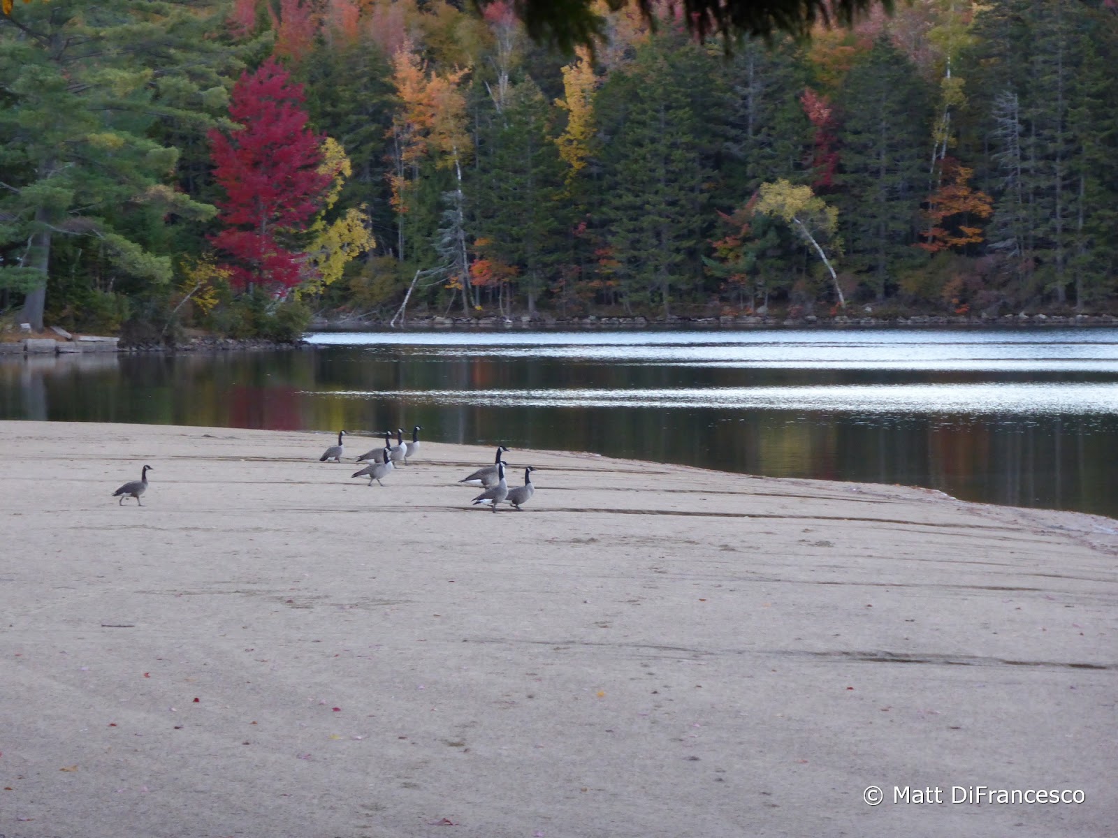
| Geese at South Pond. |


No comments:
Post a Comment