Route: Livermore Trail, Greeley Ponds Trail, Mt. Tecumseh Trail, Tripoli Road, Mt. Tecumseh Trail, Sosman Trail, Ski Trails
Peaks: East Osceola (4156', NH4K), Osceola (4340', NH4K), Tecumseh (4003', NH4K)
Mileage: 17.5 miles
Elevation Gain: 5900'
Book Time: 11hr 40min (actual 10hr 30min)
This was a hike I've been eyeing for a
while now: looping these 3 4000-footers in Waterville Valley in one
hike. Ian (and Marlie of course) and Theresa joined in on the fun, and we had a great weather forecast heading in to boot. Starting from Livermore, we hiked through Mad River Notch on the Greeley Ponds Trail, which recently re-opened after being closed since Hurricane Irene in 2011 washed out portions of the trail. It has been re-routed and repaired, and while it would be a harder cross-country ski route now due to some steepish ups and downs on the reroutes, it was a pretty nice and easy hike. After visiting both ponds, we finished off this segment of the Greeley Ponds Trail (a new redline for both Theresa and myself), and reached the junction with the Mt. Osceola Trail. We climbed steeply to East Osceola (still very steep but much easier in my opinion at this time of the year - versus covered in ice!), trekked along the ridge, up the chimney, and up to Mount Osceola.
 |
| There's still a temporary trail sign at the Southern end of the Greeley Ponds Trail, plus a map showing the new trail arrangement in the area (there is one new trail and a few old ones are closed or extensively rerouted). |
 |
| I saw 2 or 3 of these guys during this hike. This one seemed to be missing part of its tail. |
 |
| Marlie at the new bridge over the Mad River at the end of the main Greeley Ponds Trail reroute. |
 |
| The cliffs of East Osceola from the lower Greeley Pond. |
 |
| In the winter, a cross-country ski trail roughly follows the Greeley Ponds Trail, but it crosses over the frozen ponds instead of following the trail in the middle section. See the arrow on the tree on the left? |
 |
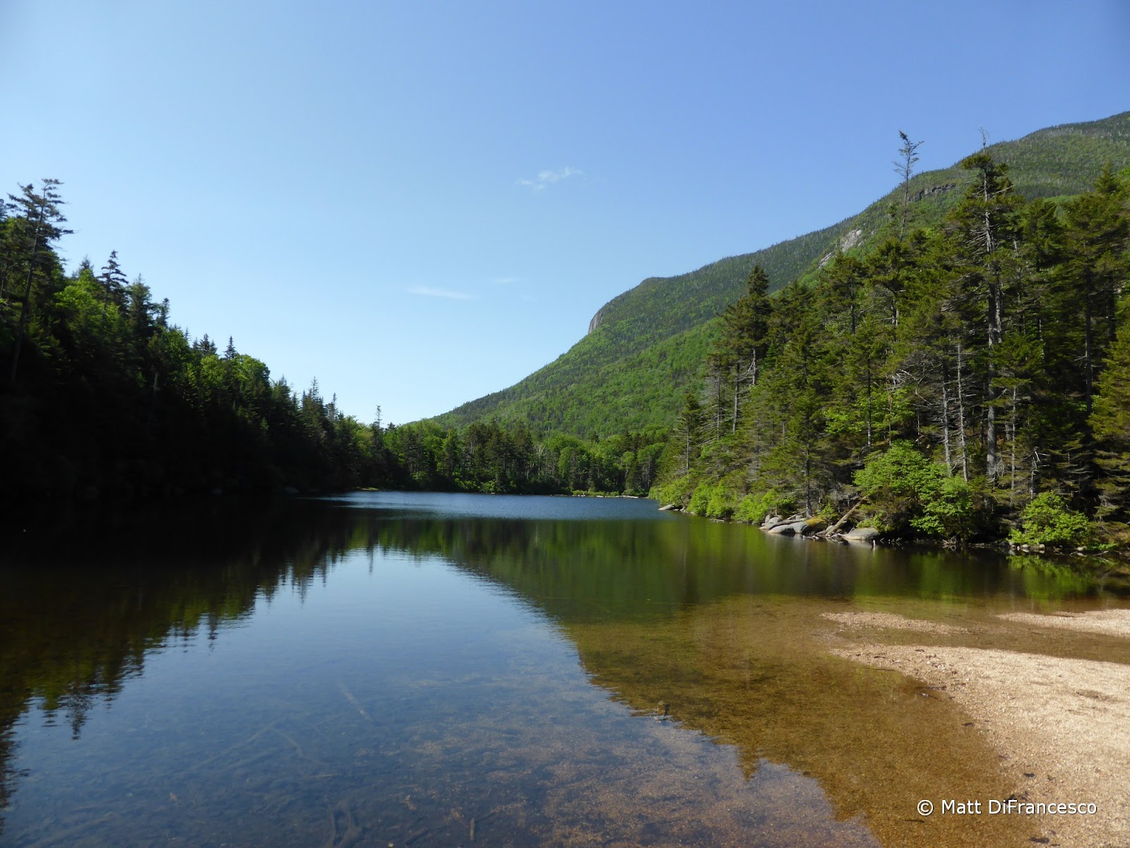
| Lower Greeley Pond |
 |
| A spur of Mt. Kancamagus from lower Greeley Pond |
 |
| Benchmark along the trail near the Upper Greeley Pond |
 |
| East Osceola from Upper Greeley Pond |
 |
| Marlie poses by the Upper Greeley Pond |
 |
| At the Northern end of Upper Greeley Pond, looking South. |
 |
| Mt. Carrigain from the East Osceola slide |
 |
| Mt. Osceola from just below East Osceola |
 |
| West Osceola and the Eastern end of Scar Ridge |
 |
| Scar Ridge |
 |
| Franconia Ridge from just below East Osceola |
 |
| Looking across Mad River Notch |
 |
| Mt. Chocorua |
 |
| East Osceola's summit cairn. Wooooo.... |
 |
| Looking into the Pemi from below East Osceola |
 |
| Approaching the infamous chimney between the Osceolas. A fun climb when dry(ish). |
 |
| Looking back at East Osceola from the top of the chimney. |
 |
| View from the ledges near Mt. Osceola |
 |
| The Tripyramids. Someday I still need to climb that North Slide. |
 |
| Waterville Valley, with Sandwich Dome standing guard. |
 |
| View toward the Pemi from the true summit of Mt. Osceola. |
 |
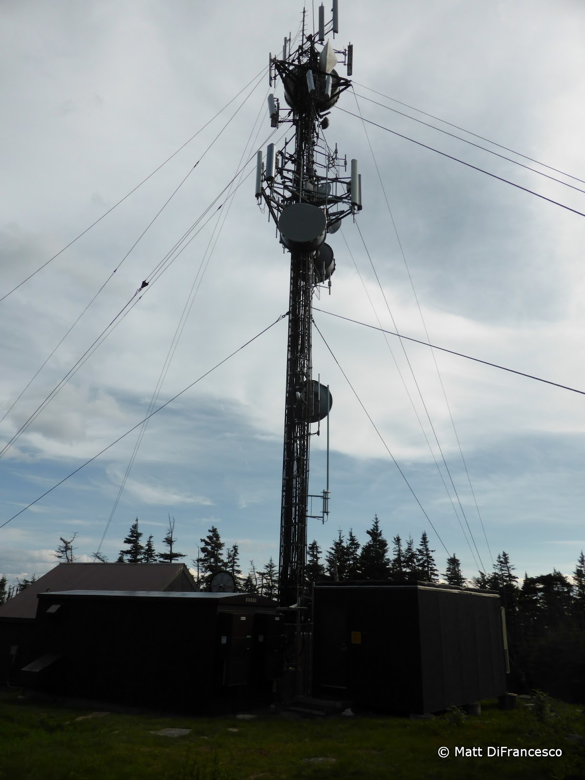
| A remnant of the tower once atop Mt. Osceola. |
From there, we descended to Tripoli Road, walked a bit over a mile down the road dodging black flies the whole way, and ascended Mount Tecumseh from the back (also a new redline for Theresa and myself). What a magnificent trail that is, nice footing and grades almost the whole way, and awesome woods along the ridge. There is a small, restricted view from West Tecumseh along the way, but the main highlight was the soft, pine-needle coated trail along the ridge. Reaching the main summit, we took the Sosman Trail to the top of the ski area (you guessed it, another new redline!), descended the ski trails until we reached the ski slope outlook on the Mt. Tecumseh Trail (roughly halfway up), and finished the hike on-trail to the waiting cars at the ski area. About 8 miles of new trails for me (and Theresa, Ian had done all these trails but needed 2/3 of the peaks) on this one too!
 |
| Starting up the backside of Mt. Tecumseh. |
 |
| The view toward Moosilauke from West Tecumseh. |
 |
| Awesome woods and trail between West Tecumseh and Tecumseh. |
 |
| View over Waterville Valley from Tecumseh. The Osceolas on the left, the Tripyramids on the right. |
 |
| We were on those peaks earlier on this hike. |
 |
| The Tripyramids. |
 |
| Marlie surveys the illegally-cut trees on the summit. |
 |
| At the end of the Sosman Trail, at the top of the ski area. |
 |
| The upper chairlift. |
 |
| Nice views while descending. |
 |
| A humvee headed up with several bikes on the back. That must be a crazy ride down! |
 |
| The Osceolas from the ski slopes. |


No comments:
Post a Comment