Route: Lincoln Woods Trail, Bondcliff Trail, West Bond Spur, Twinway, North Twin Spur, Frost Trail, Twin Brook Trail, Franconia Brook Trail
Peaks: Bondcliff (4265', NH4K), Bond (4698', NH4K), West Bond (4540', NH4K), Guyot (4580', TW72), South Twin (4902', NH4K), North Twin (4761', NH4K), Galehead (4024', NH4K)
Mileage: 30 miles total (19 day 1, 11 day 2)
Elevation Gain: 7200ft total (6700ft day 1, 500ft day 2)
Book Time: 18hr 35min total (12hr 50min day 1, 5hr 45min day 2) (actual 11hr 5min & 4hr 10min)
Doing a mult-day Pemi Loop has been on
"the list" for several years now. I've probably planned it 5 or 6 times
now, as a 3-day backpack, but none of them even got started thanks to
bad forecasts. A few months ago I decided to grab a bunk at Galehead Hut
for the last night of self-service for 2015 (basically, you sleep there and use the kitchen to cook food you bring as opposed to the "crew" cooking for you) and see if I could get a 2-day one
in. To maximize peak-bagging, I intended to add West Bond, North Twin,
and Galehead Mountains to the normal 32-mile loop, making for 2 very
long days. My friend Denise and her friend Julia joined in the fun.
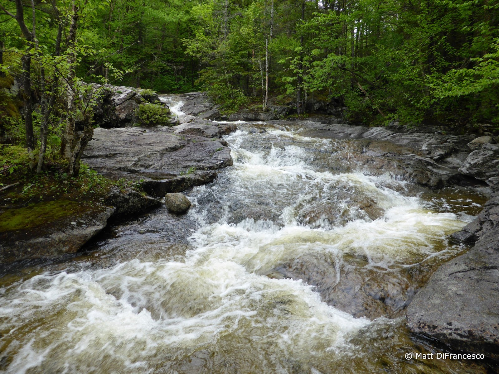
 |
| Crossing one of the Bondcliff Trail crossings. |
 |
| Some painted trillium were still blooming. |
 |
| The "infamous" Bondcliff step just below the summit. |
 |
| First views from just below Bondcliff. |
 |
| West Bond |
 |
| "Is anyone down there?" |

The forecast looked pretty poor going in, but it looked like we had a
decent day for Saturday until 3-4PM when some major storms were due to
roll in. So we started down the Lincoln Woods Trail at 5:06AM, making
good time to Bondcliff (we made it the 9 miles there in about 3.5
hours). We ran into a pair of familiar faces (and a familiar pup) between Bond and Bondcliff,
and a few others here and there, but it was pretty quiet on the trails
until reaching South Twin at 12:35. The skies were actually clearing
some, and the haze lifting, and a check of the radar confirmed that
there was nothing storm-wise within a couple hundred miles. So we did
make the side trip to North Twin before returning to South Twin to
pretty nice skies, and the summit to ourselves. We visited Galehead
Mountain after the steep and rocky descent to the hut and a good break
there. This had been a hard day in the mountains, but an awesome one, and we'd made great time due to worrying about the weather. We did end up enjoying a great break on South Twin both times we passed over the summit.
 |
| Bondcliff as we approached Bond. |
 |
| West Bond from the Bond-Bondcliff ridge. |
 |
| South Twin and its many southern slides. |
 |
| Mt. Garfield. |
 |
| A fresher slide on the side of Bond, from Hurricane Irene in 2011. |
 |
| Bond and West Bond from near Guyot. |
 |
| The Diapensia was blooming! |
 |
| A giant chunk of quartz on the Southern peak of Guyot (which is not the true summit). |
 |
| The Nancy-Carrigain range. |
 |
| Galehead Mountain and the Galehead Hut from North Twin. We stayed there for the night. |
We relaxed, ate, and chatted through the evening,
enjoying our time in the hut. The skies still stayed notably
un-meanacing. Apparently we didn't need to start at 5AM after all, but
it was the safe move. Finally, somewhere around 11PM, the storms
apparently rolled through (I slept through most if not all of the
thunder/lightning), and it rained most of the night. We awoke to some
mist, and a forecast calling for rain pretty much all day (and as
forecast the afternoon before).
 |
| Galehead Hut. Home sweet home for the night. |
 |
| The view from Galehead Hut is predominantly of South Twin and its Southern spur. |
 |
| Galehead Mountain from Galehead Hut. |

It clearly wasn't the best day
for crossing the infamous Garfield Ridge and Franconia Ridge, so we took
the plan B route of heading down the Twin Brook, Franconia Brook, and
Lincoln Woods Trails back to the car. We even visited the 13 Falls Campsite and enjoyed a nice, quiet break there. All trails I have hiked before (most on a 2003 trip), but they netted Denise 7-8 miles of new redlines. Twin Brook Trail, after a rocky start near the hut, is a pleasant and gentle walk in the woods, and aside from some muddy stretches, most of the upper part of the Franconia Brook Trail is too. We
really didn't get any rain until we approached the Hellgate Brook
crossing (I think...), but from there out it rained steadily and even
fairly hard. The last 2-mile stretch of the Franconia Brook Trail was a
waterlogged mess, and the Lincoln Woods Trail was actually worse. Full
trail-width pools of water between all the railroad ties, it was a wade-fest! No pictures
from me for the last couple hours due to the rain and not wanting to get
the camera wet. On the bright side, we made really fast time out those
last 5 miles! Thanks Denise and Julia for a great weekend, someday we'll
return and do the whole loop this time!
 |
| At the bottom of the Twin Brook Trail. |
 |
| 13 Falls |
 |
| 13 Falls |
 |
| The caretaker's platform at 13 Falls. Apparently the caretaker hasn't moved in for the season yet (though someone else camped there as can be seen from the dry spot on the platform). |
 |
| The upper end of the Lincoln Brook Trail meets the Franconia Brook Trail near the campsite. |
 |
| An old sled runner of some sort, presumably from the logging days. |
 |
| Franconia Brook Trail. Nice footing for much of it, but rather muddy in places. |
 |
| Twin Brook crossing (I think). |
 |
| Benchmark at the Redrock Brook crossing, where there looked to have been a railroad bridge back in the day. |
 |
| Looking back across the Redrock Brook crossing. |


No comments:
Post a Comment